
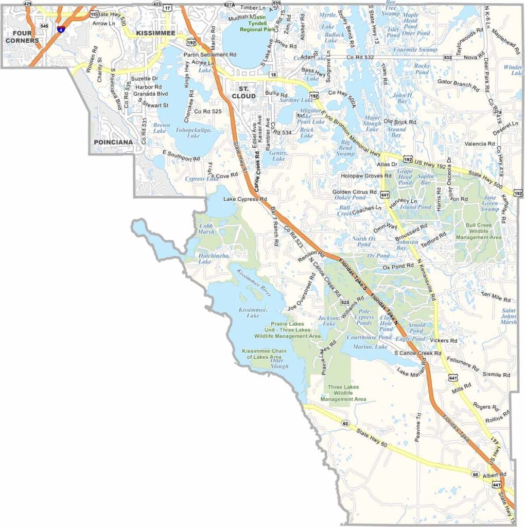
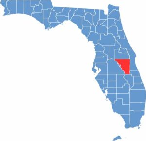
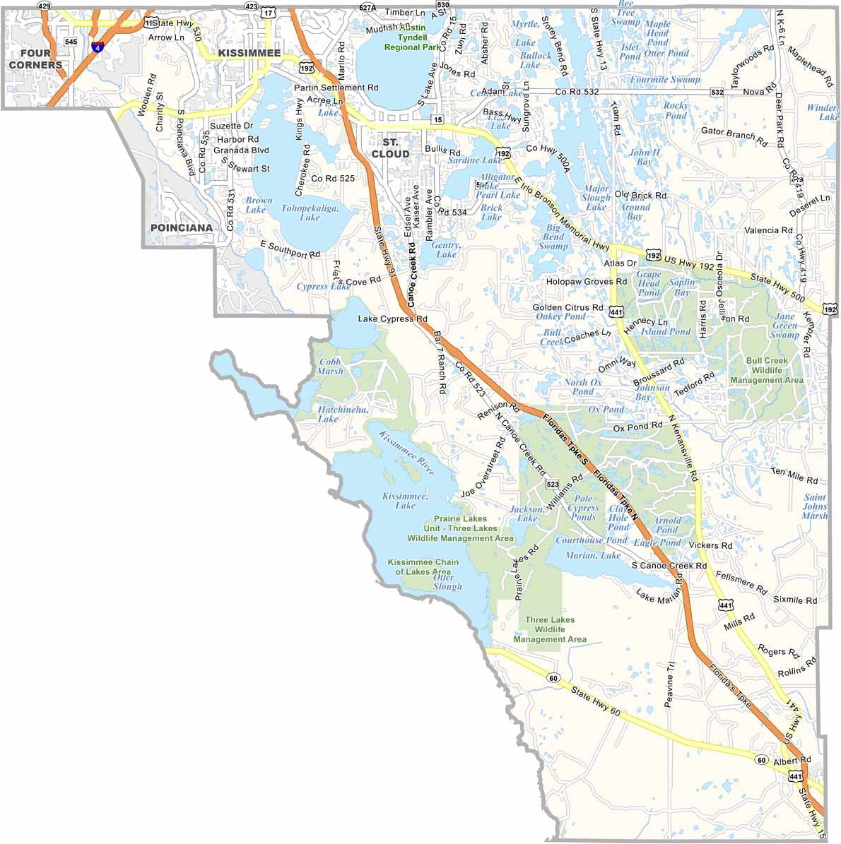
Osceola County is located in central Florida, just south of Orange County and within the greater Orlando region. Kissimmee serves as the county seat and is known for its Old Town district and proximity to major attractions such as Walt Disney World.
The county combines tourism with a strong ranching tradition. Lake Tohopekaliga is a popular destination for bass fishing, boating, and airboat rides. Osceola County also has a diverse population, including a significant Hispanic community, particularly residents with Puerto Rican heritage.
Celebration, originally developed by Disney, offers a planned community with a traditional small-town atmosphere. Meanwhile, rural areas around St. Cloud still feature cattle ranches, canals, wetlands, and abundant wildlife, including alligators. Osceola County blends the traditions of old Florida with the attractions and growth of the Orlando area.
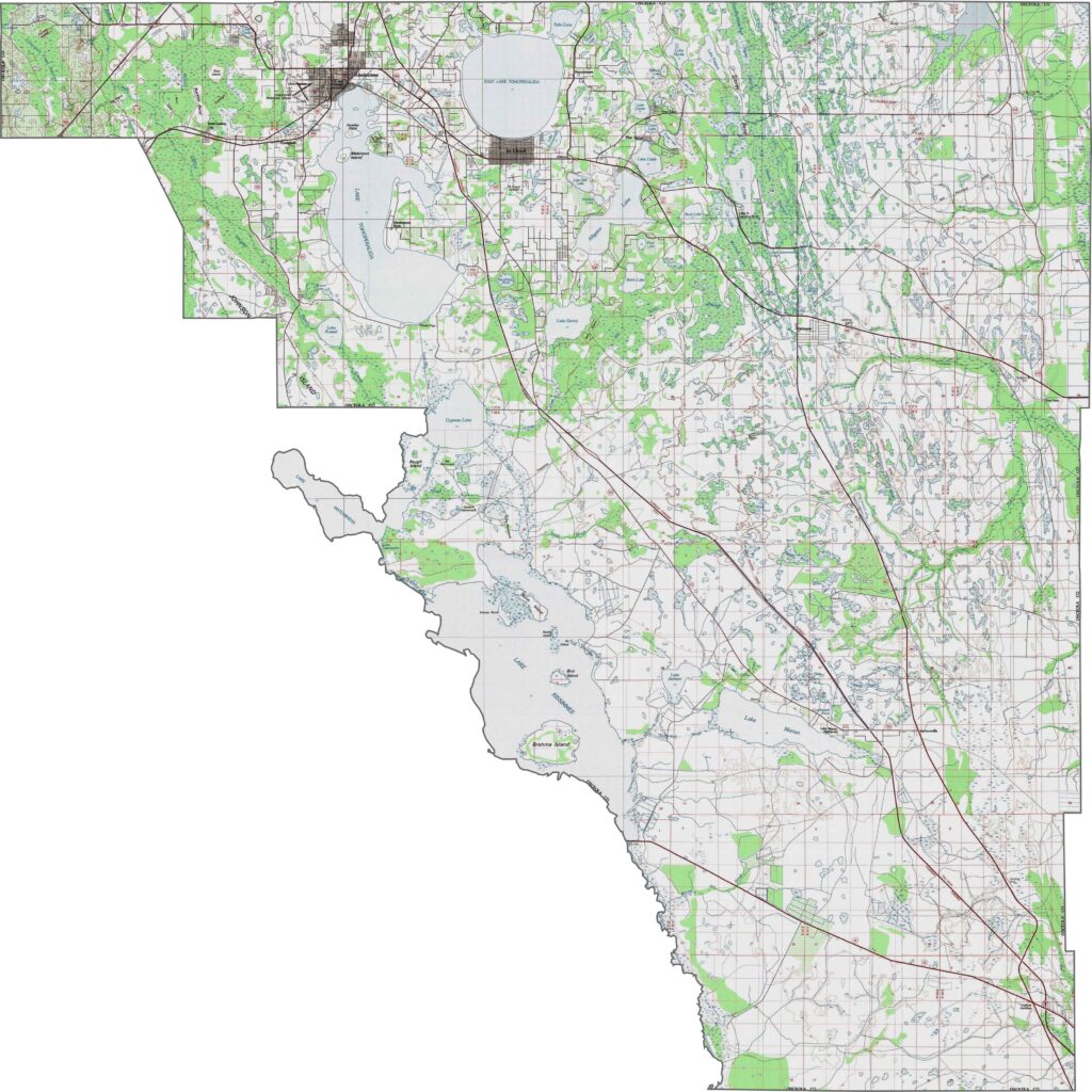
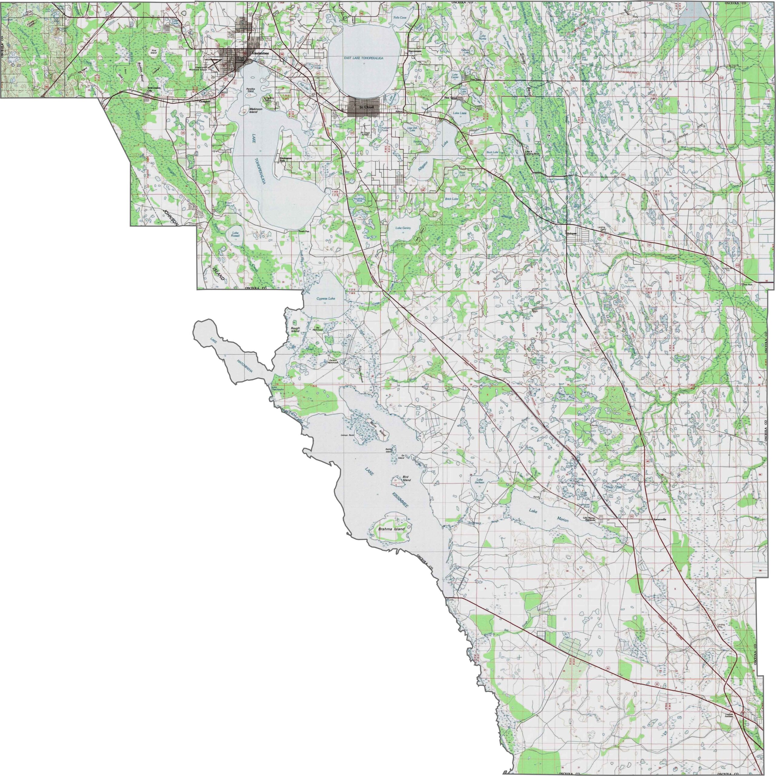
Osceola County is predominantly flat, with extensive wetlands and shallow lakes covering much of the landscape. The northern areas have slight rises near the Orange County border, while the southern portion transitions into the Kissimmee River basin and the headwaters of the Everglades. Our zoom tool lets you explore these subtle changes in terrain.
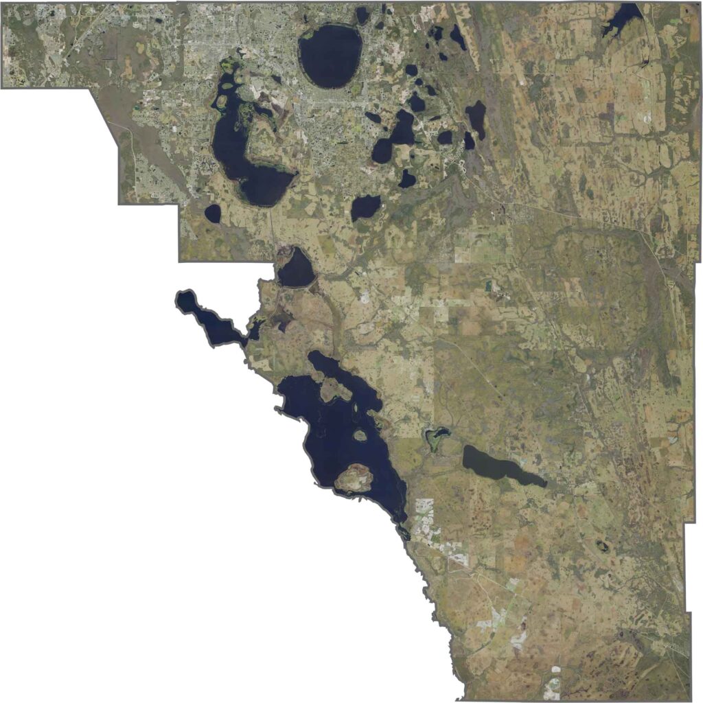
This satellite map shows Osceola County’s largely rural landscape, with vast wetlands, lakes, and protected conservation areas. Suburban development is expanding in the north near the Orlando area, while the Kissimmee River basin in the south connects to the broader Everglades watershed. Use our zoom tool to explore the county’s open spaces and natural features.
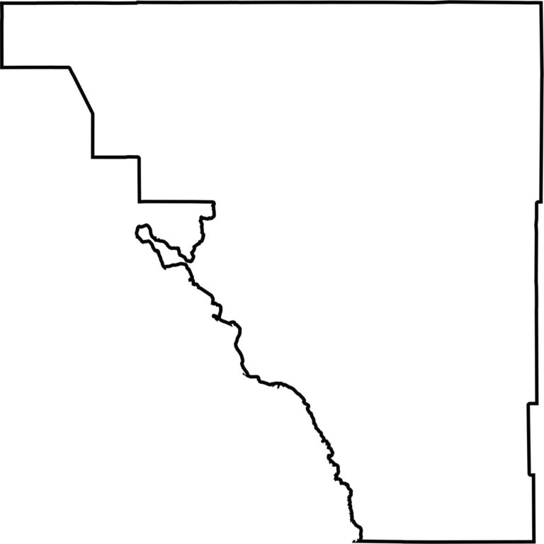
Our blank map of Osceola County shows its large, mostly triangular shape. The western portion follows the Kissimmee River basin, while the remaining boundaries are largely defined by neighboring counties. The outline makes the county’s distinctive shape easy to recognize.








Looking to find a county map of Florida? Our Florida county map breaks down all 67 counties. Explore the Sunshine State with detailed topographic, satellite, and outline maps.