
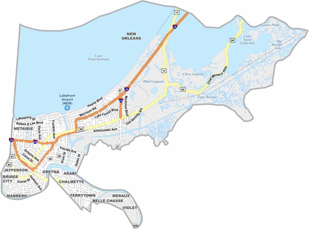
Orleans Parish sits in the heart of southeastern Louisiana and is home to the world-famous city of New Orleans. Despite being one of the smallest parishes in the state by land area, it is among Louisiana’s most populous and urbanized parishes.
The Mississippi River runs along the parish’s southern edge, while New Orleans, often known as the “Big Easy,” is celebrated for its relaxed atmosphere and distinctive culture. Food is central to local life, with classics such as gumbo, jambalaya, and beignets forming just part of the parish’s celebrated culinary tradition.
Music fills the streets, from legendary jazz clubs to lively street performances, while the region’s deep history is reflected in its neighborhoods, architecture, and traditions. Mardi Gras brings vibrant parades, colors, and celebrations each year. To the north, Lake Pontchartrain covers a large portion of the parish, including the Lake Pontchartrain Causeway, renowned as the world’s longest continuous bridge over water.
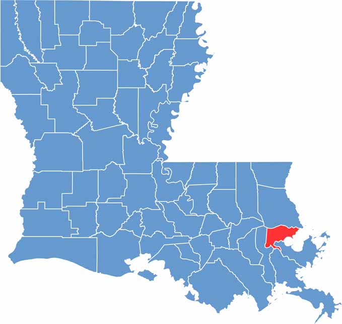
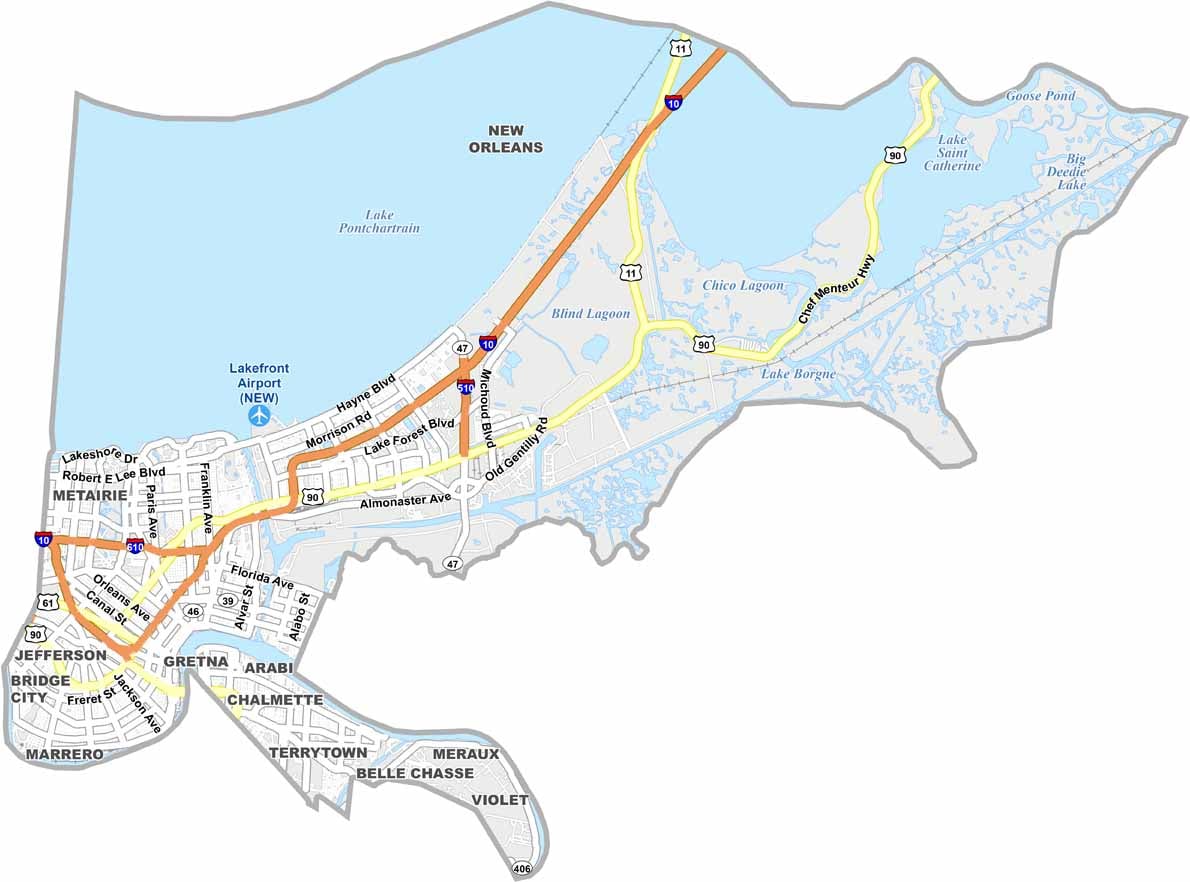
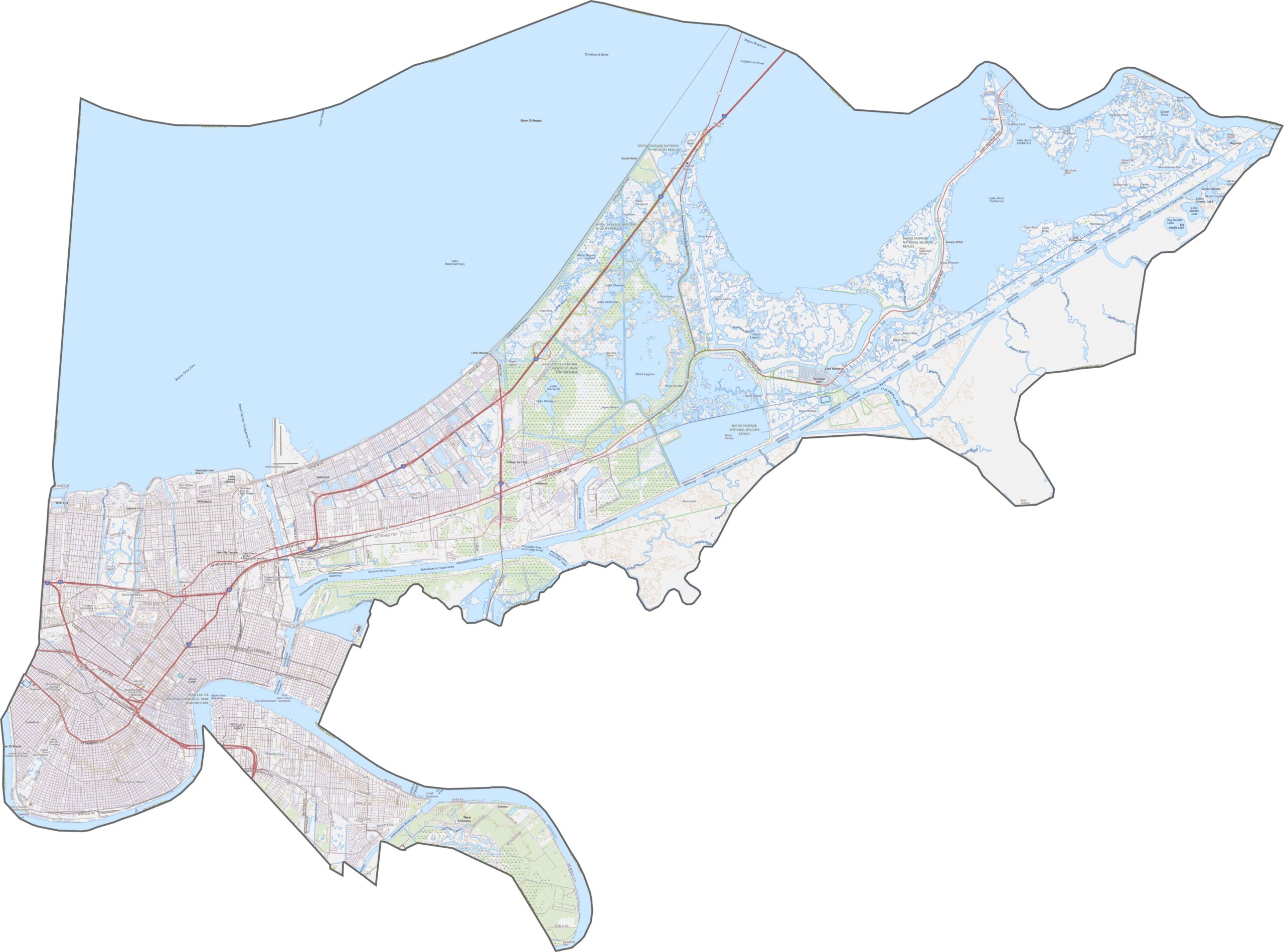
Orleans Parish is Louisiana’s most urban parish, built around the distinctive I-10 crescent. The Pontchartrain Expressway (US 90 Business) follows the Mississippi River, while I-610 provides an important bypass around the city. Surface streets reflect the area’s historic French street grid, and our zoom tool makes it easy to explore the one-way streets of the historic Vieux Carré.
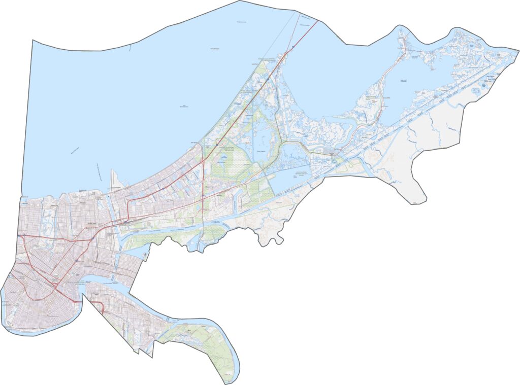
A mix of dense suburbia and sprawling wetlands defines Jefferson Parish. Residential neighborhoods form a broad urban grid in the north near New Orleans, while expansive marshes and wetlands dominate the southern portion of the parish.
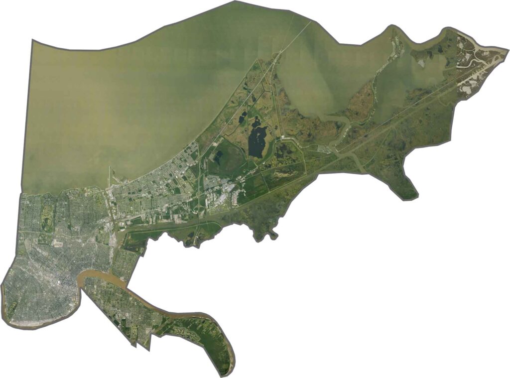
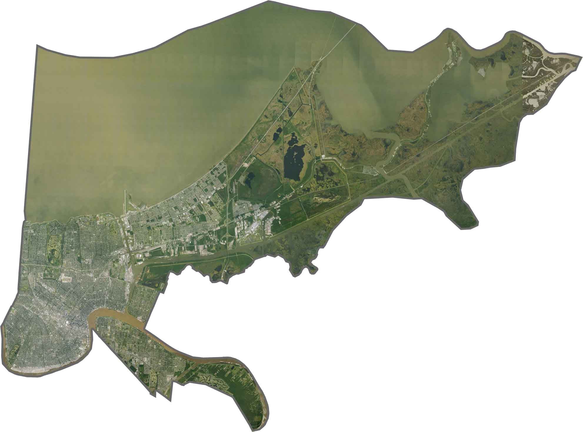
The dramatic curve of the Mississippi River helps define the landscape, with the dense architecture of the French Quarter standing out against the surrounding urban grid. Lake Pontchartrain borders the parish to the north, while the Industrial Canal cuts through the Lower Ninth Ward. Green spaces such as City Park provide a striking contrast to the densely developed streets and neighborhoods.






In Louisiana, you’ll taste the spirit of the state in its hot sauce and hear it in the midnight blues. Laissez les bon temps rouler! Explore our Louisiana parish maps to discover the state’s unique communities, winding bayous, and rich landscapes. Come for the beignets. Stay for the bayou.