
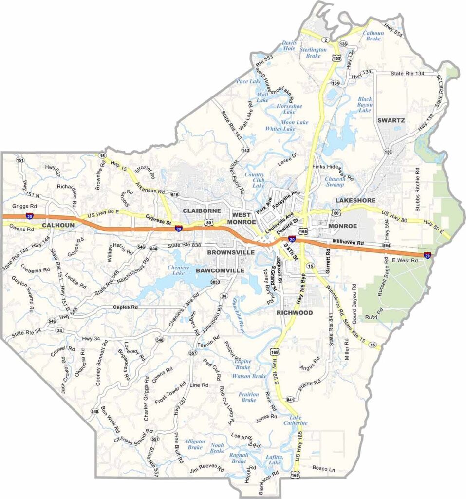
Ouachita Parish sits in northeastern Louisiana, straddling the Ouachita River. It is home to Monroe, the parish seat and largest city, which serves as an important cultural and economic center for the surrounding region.
The name Ouachita is commonly pronounced “WASH-i-taw,” a pronunciation that can sometimes surprise visitors. With its rivers, lakes, and wooded areas, the parish offers plenty of opportunities for fishing, hunting, and boating.
The area also has a strong connection to aviation history, reflected in local attractions highlighting the region’s role in early flight. The local food scene adds even more Louisiana flavor, with favorites such as catfish, gumbo, and crawfish representing the parish’s Southern and Cajun culinary traditions.
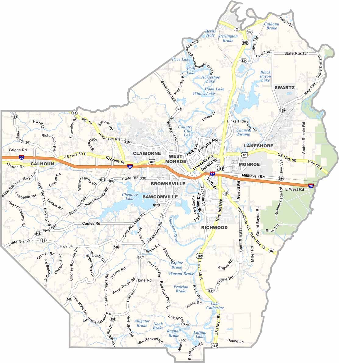
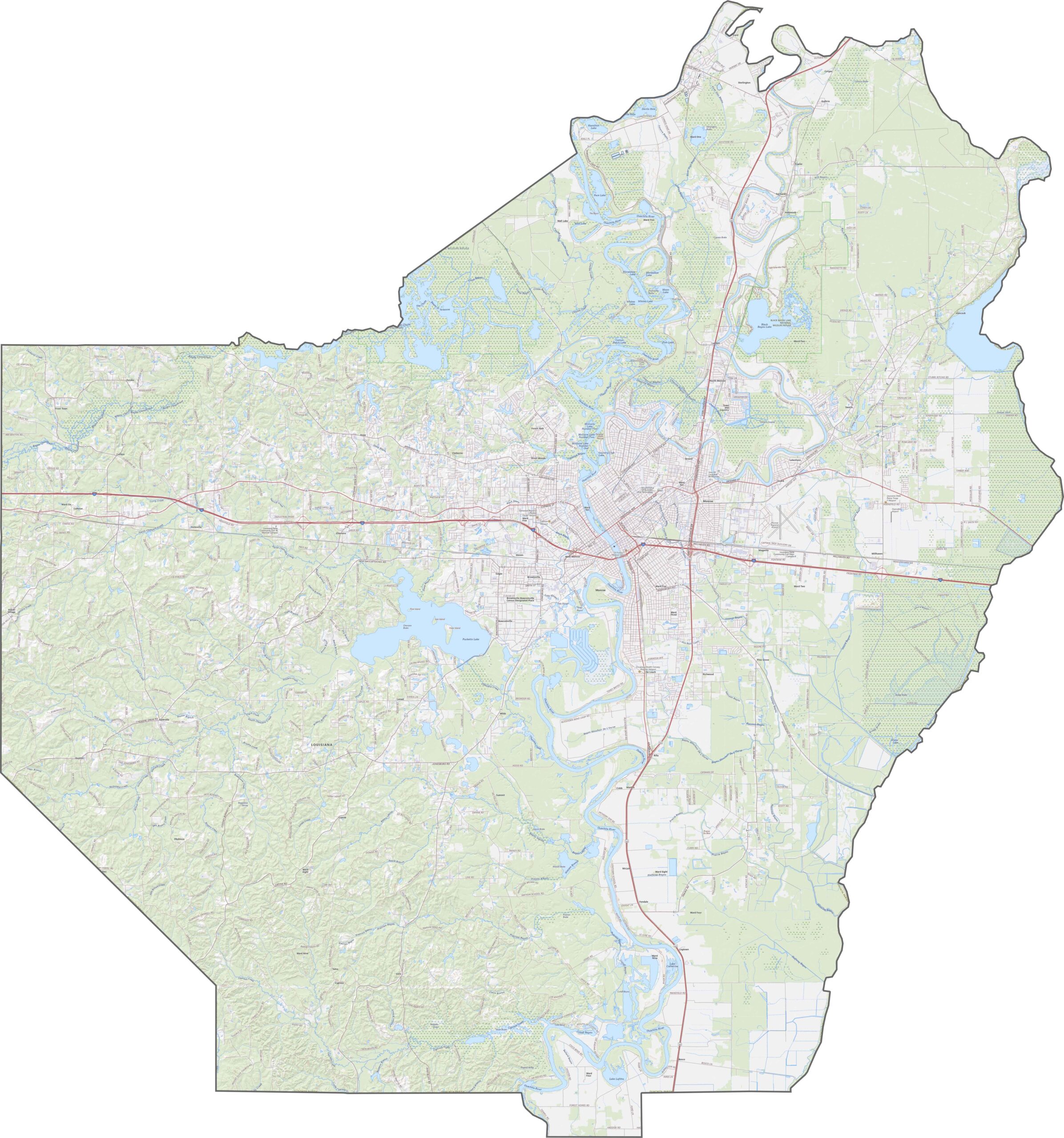
I-20 serves as the backbone of Ouachita Parish, connecting Monroe with communities toward Texas and Mississippi. US 165 runs alongside the interstate as an important business route, passing through downtown Monroe, while LA 15 follows the Ouachita River northward. Use our zoom tool to explore how these major highways frame the river city and its surrounding neighborhoods.
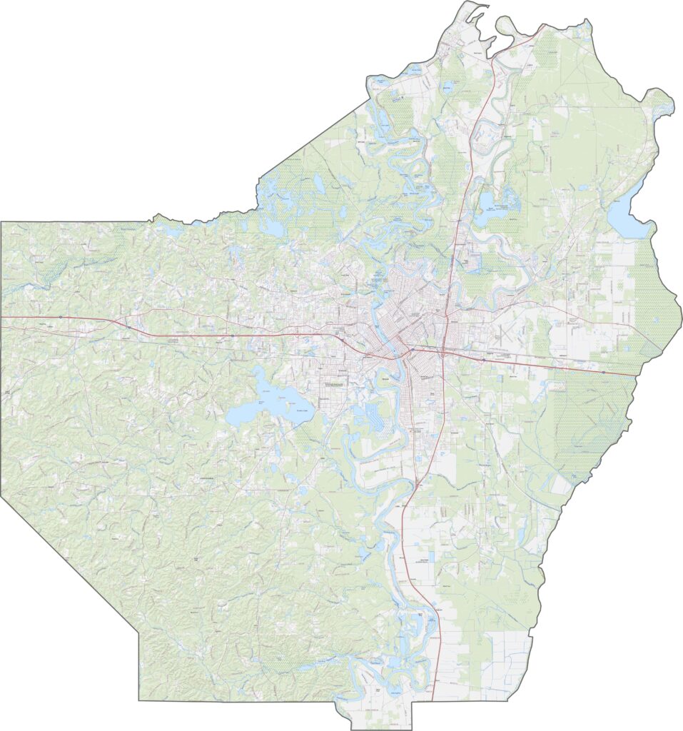
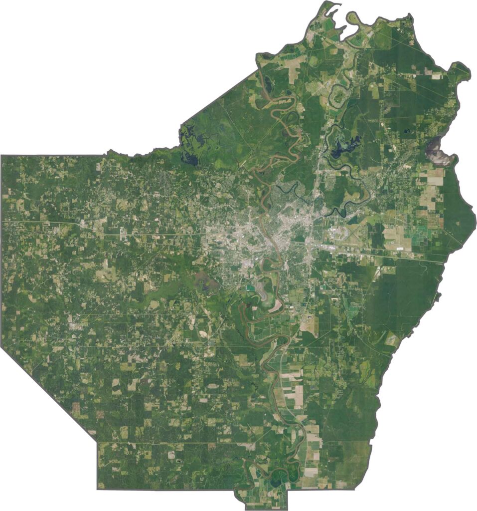
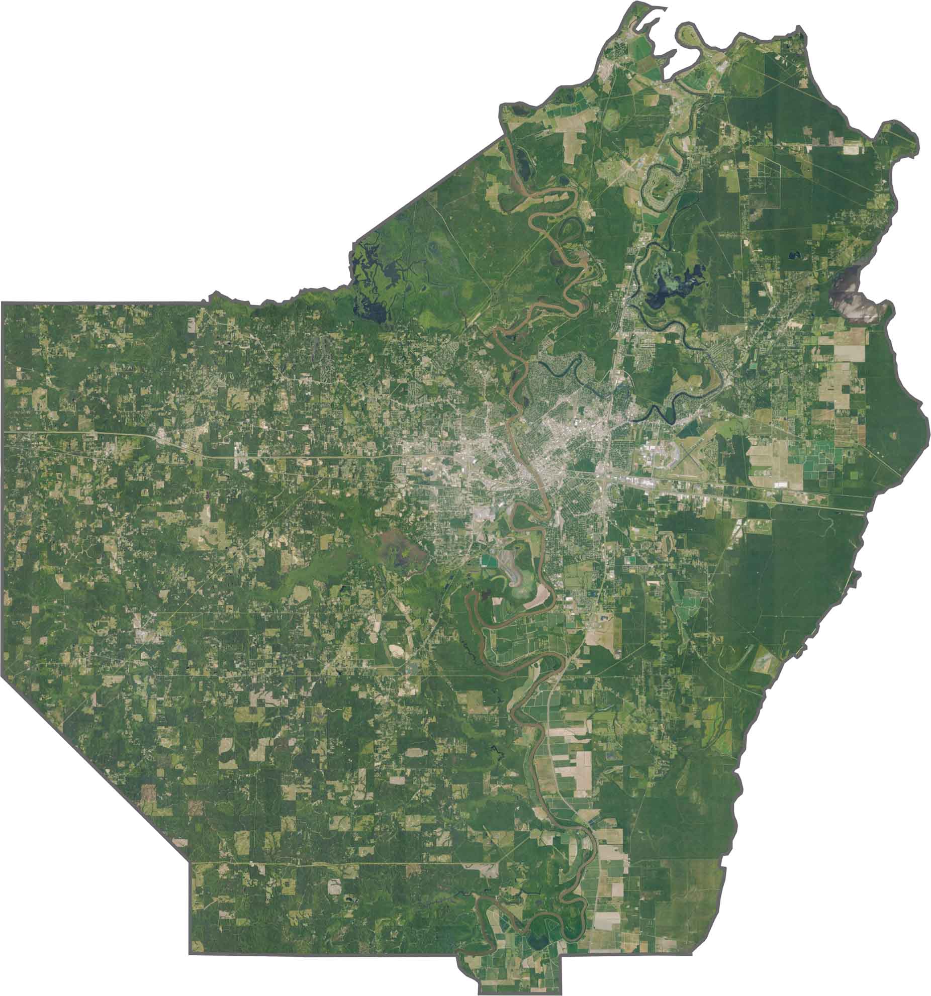
The winding Ouachita River dominates the landscape, with Monroe and West Monroe facing each other across the water. Dense hardwood forests line the riverbanks, while former cotton fields have given way to suburbs, shopping centers, and other development. The sprawling I-20 interchange also stands out as a prominent feature of the urban landscape.
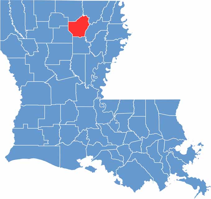
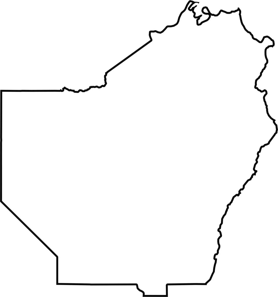
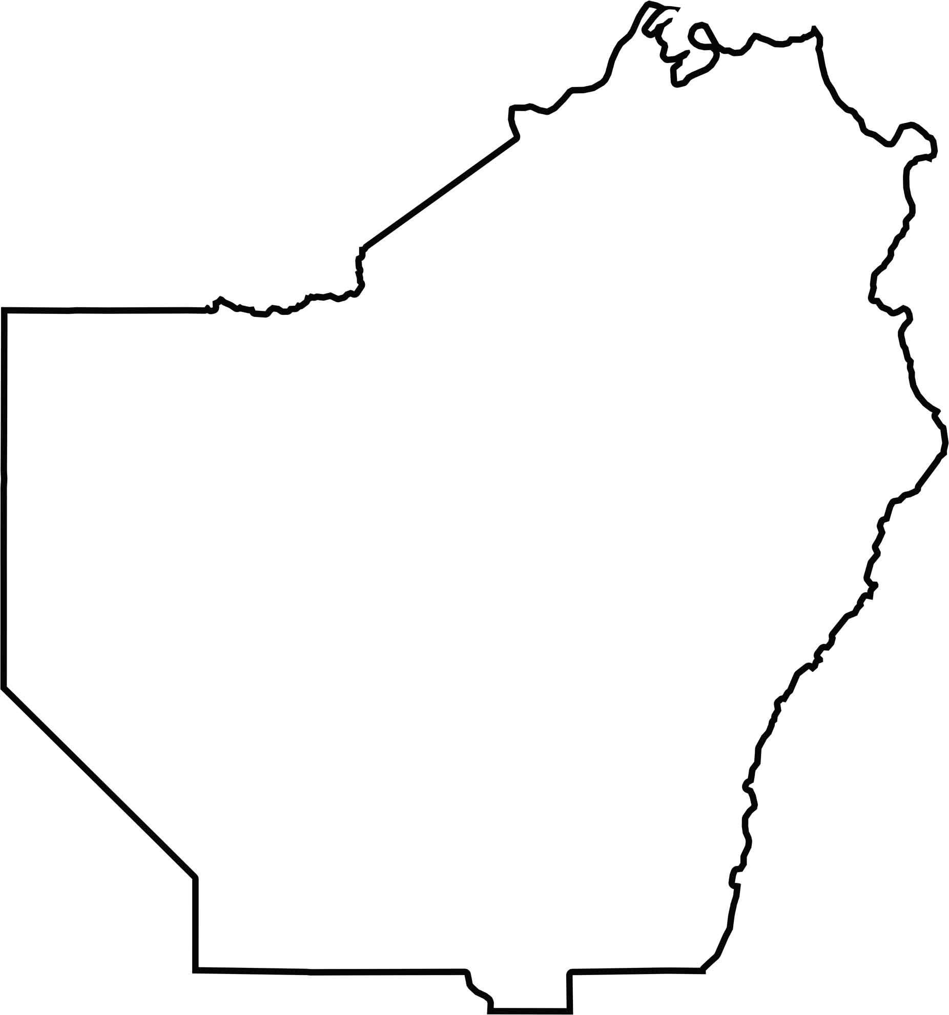
Ouachita Parish has an irregular outline that bulges toward the northeast. The Ouachita River forms part of the eastern boundary with Morehouse Parish, while the Arkansas border lies only about 15 miles to the north. Despite its proximity to Arkansas, however, the parish does not directly touch the state line.






In Louisiana, you’ll taste the spirit of the state in its hot sauce and hear it in the midnight blues. Laissez les bon temps rouler! Explore our Louisiana parish maps to discover the state’s unique communities, winding bayous, and rich landscapes. Come for the beignets. Stay for the bayou.