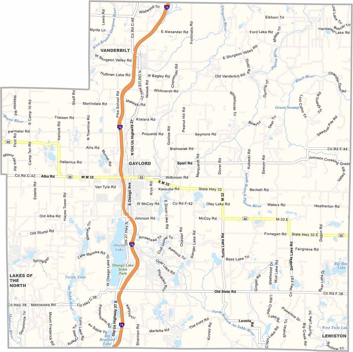
Otsego County Map, Michigan

Otsego County, Michigan

Otsego County sits in the heart of Northern Michigan, where the great outdoors is practically your backyard. Gaylord is the county seat and is known as the “Alpine Village.”

Though you won’t find any actual Alps here, you will find rolling hills, dense forests, and more lakes than you can count on both hands. It’s a true four-season playground.

Winters bring heaps of snow, perfect for skiing and snowmobiling. When summer rolls around, golfers hit the area’s championship courses. The Pigeon River State Forest is also a huge draw, home to one of the largest free-roaming elk herds east of the Mississippi River.
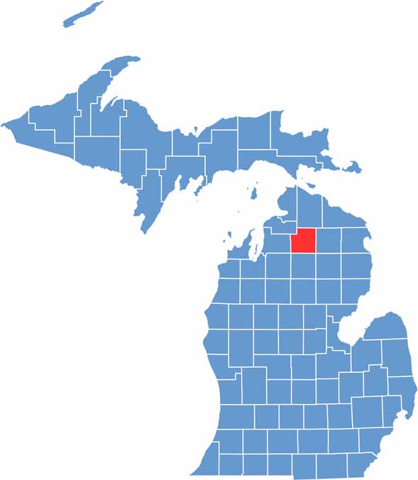

Otsego County location map of Michigan
CategoryDetails
County NameOtsego County
County SeatGaylord
Cities, Towns, and CommunitiesGaylord, Vanderbilt, Johannesburg, Waters, Elmira, Otsego Lake
Interstates and HighwaysI-75, M-32, M-27
FIPS Code26-137
Total Area (Land and Water)526 square miles (Land: 515 sq mi, Water: 11 sq mi)
Adjacent Counties (and Direction)Cheboygan County (North), Montmorency County (East), Oscoda County (Southeast), Crawford County (South), Kalkaska County (Southwest), Antrim County (West), Charlevoix County (Northwest)
Time ZoneEastern Time Zone (ET)
StateMichigan
Coordinates45.0303° N, 84.6747° W
EtymologyDerived after Otsego County, New York
Major LandmarksOtsego Lake State Park, Pigeon River Country State Forest, Gaylord City Elk Park, Treetops Resort
PopulationApproximately 25,000
Scroll to Top