
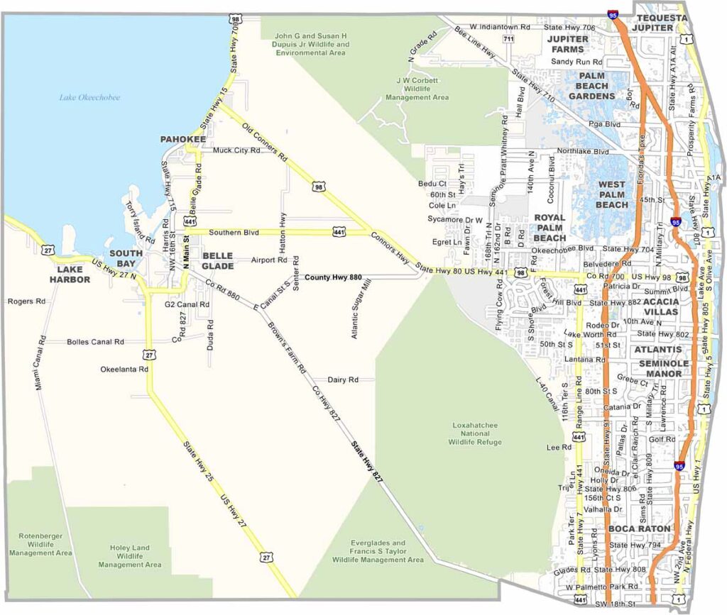
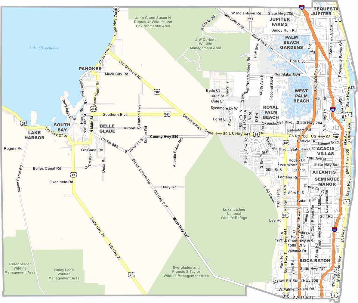
Palm Beach County is located along Florida’s southeast coast and is known for its luxury communities, beautiful beaches, and high-profile resorts. West Palm Beach serves as the county seat, while Palm Beach is famous for its upscale shops, historic estates, and exclusive atmosphere. The county has about 47 miles of Atlantic coastline, ranging from busy beaches to quieter coastal areas.
The western part of the county extends into the Everglades, creating a striking contrast with the developed coastline. Delray Beach and Lake Worth Beach are known for their lively downtowns and arts scenes, while Jupiter offers a more relaxed atmosphere and is home to the historic Jupiter Inlet Lighthouse. Traffic can be heavy, particularly along I-95.
Agriculture remains important in western Palm Beach County, where farming communities and large agricultural areas continue to shape the landscape. Overall, the county combines luxury coastal communities, growing suburbs, agricultural land, and vast natural areas, making it one of Florida’s most diverse regions.
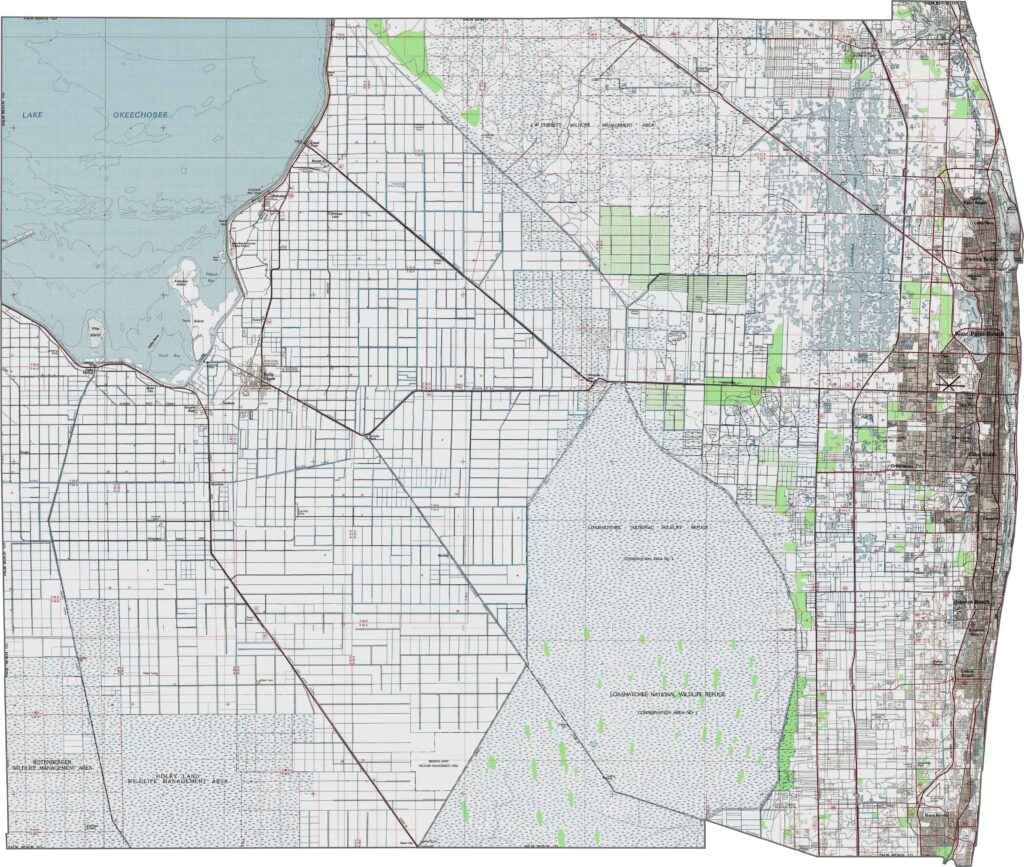
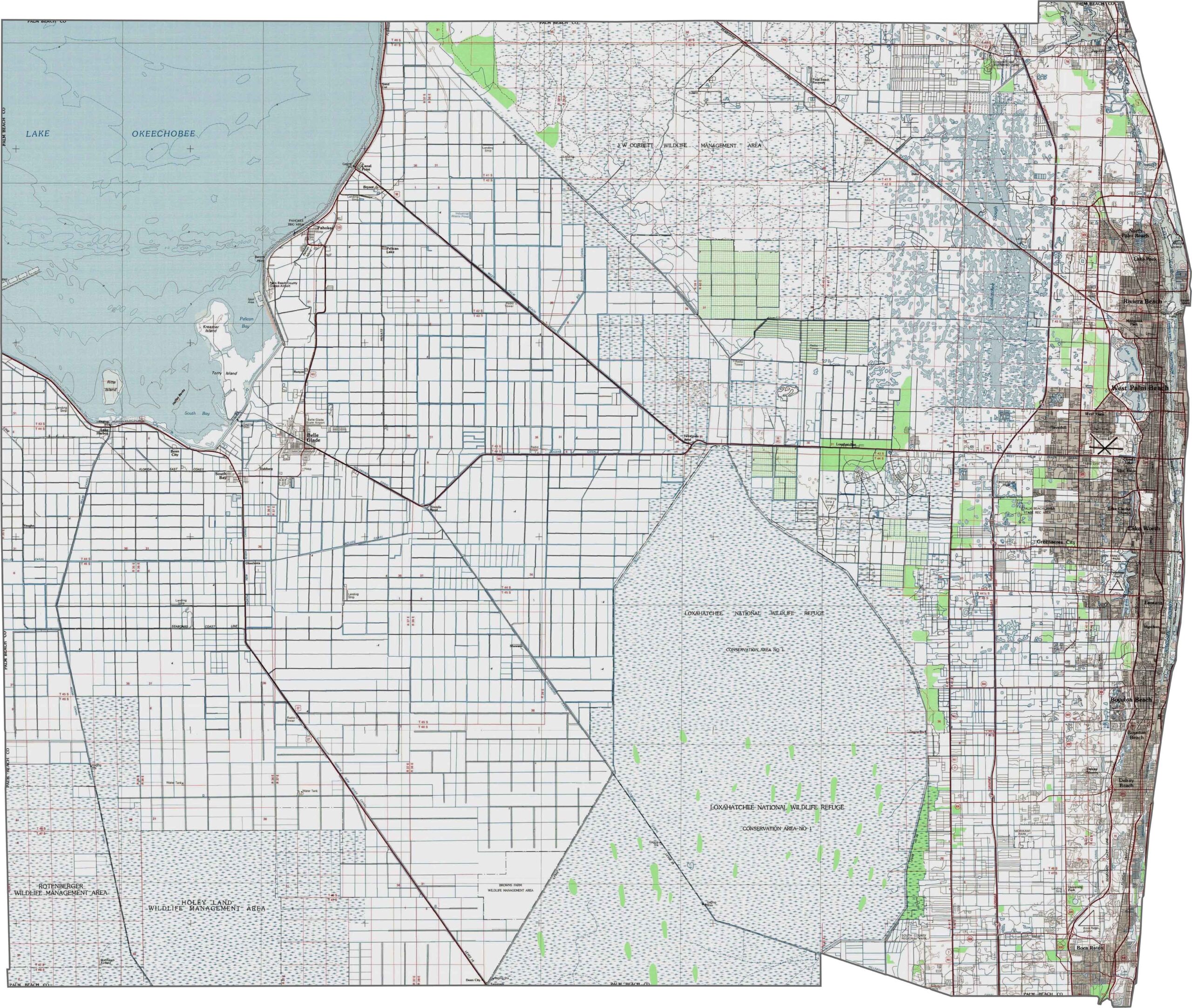
Palm Beach County has a varied landscape, with sandy coastal ridges along its eastern border. Moving westward, the terrain transitions into flatwoods and eventually the expansive Everglades ecosystem. Our zoom tool lets you explore the subtle elevation changes shown on the Palm Beach County topographic map.
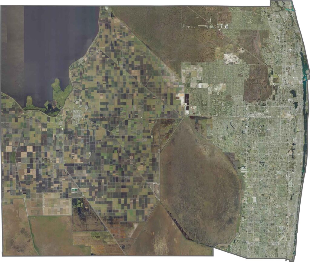
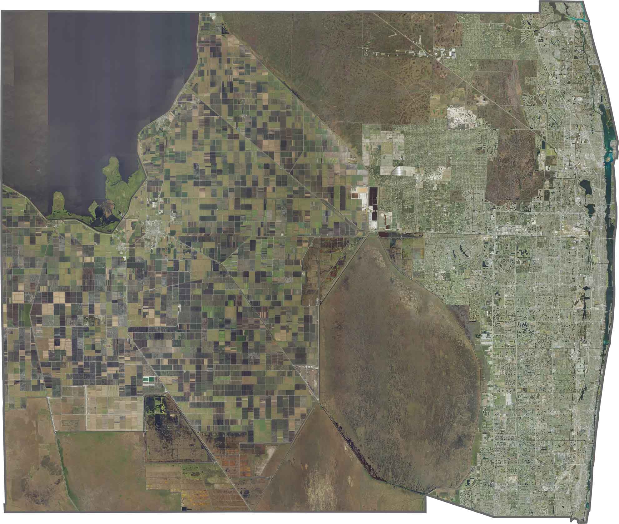
This satellite map shows Palm Beach County stretching from the Atlantic Ocean to the edges of Lake Okeechobee. The landscape includes coastal cities, inland agricultural areas, and vast wetland preserves. Residential communities dominate the east, while sugarcane fields and conservation lands cover much of the west. Use our zoom tool to explore this diverse landscape in greater detail.
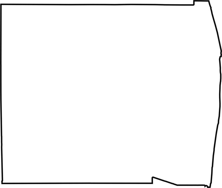
Palm Beach County is one of Florida’s largest counties by area, extending from the Atlantic Ocean to Lake Okeechobee. Its western areas are shaped by agricultural lands, wetlands, and portions of the Big Cypress ecosystem, while the eastern boundary follows the coastline. Our blank map makes the county’s impressive size and coastal-to-inland geography easy to see.








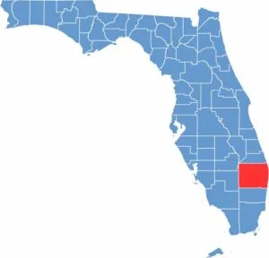
Looking to find a county map of Florida? Our Florida county map breaks down all 67 counties. Explore the Sunshine State with detailed topographic, satellite, and outline maps.