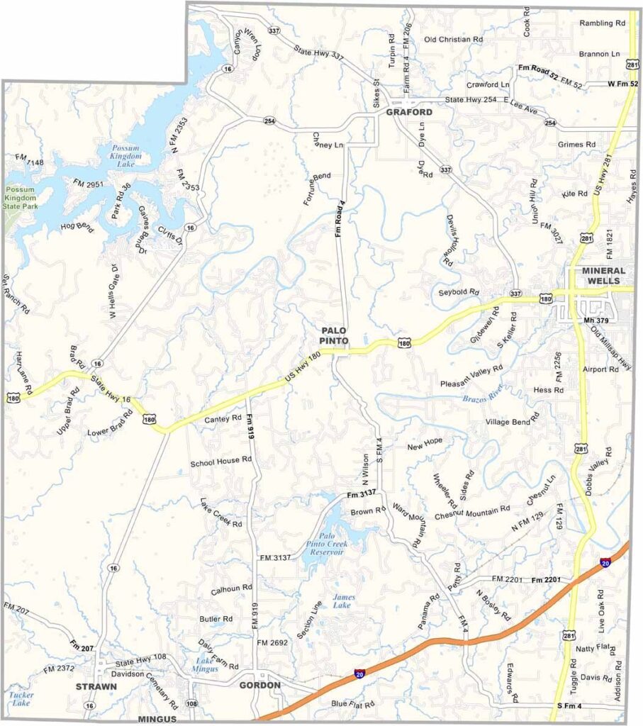
Palo Pinto County, Texas

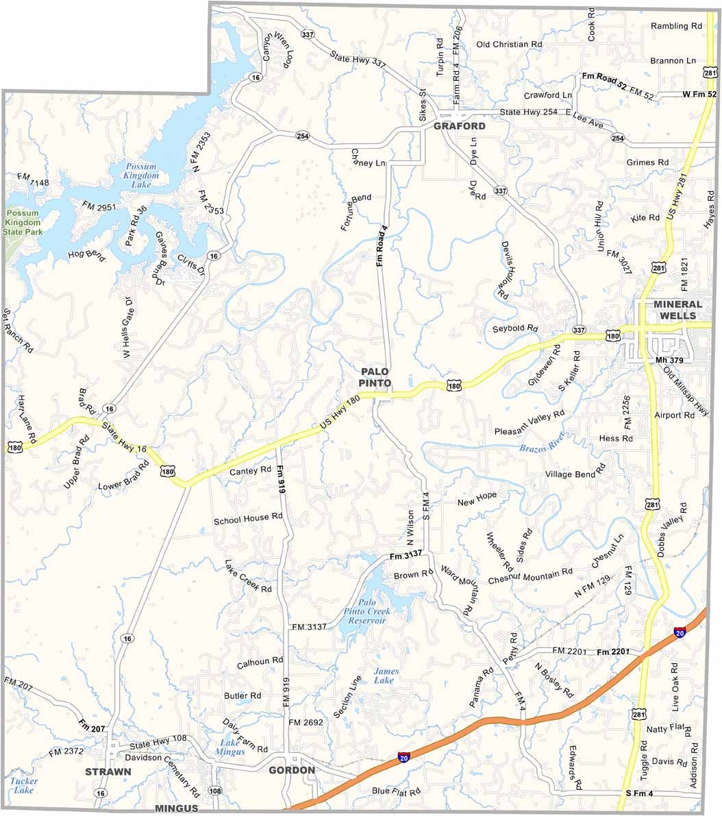
Palo Pinto County sits about 75 miles west of Dallas, where wide-open prairie gives way to rolling hills. Ranching has been part of life here for generations, and hunting remains a popular pastime.

The Brazos River winds through the county, adding plenty of scenic beauty to the landscape. Possum Kingdom Lake sits in the northwest and draws visitors from across the region for boating, fishing, and relaxing by the water.

Mineral Wells was once a famous spa destination, known for its “Crazy Water” mineral springs. Today, the town is much quieter, but its history still shines through. The old Baker Hotel dominates downtown, standing tall as a reminder of the town’s glamorous past and a symbol of hopes for a new chapter.
CategoryDetails
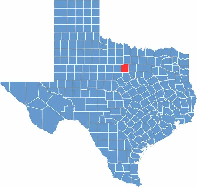
County NamePalo Pinto County
County SeatPalo Pinto
PopulationApproximately 30,000
Cities, Towns, and CommunitiesPalo Pinto, Mineral Wells, Santo, Graford
Interstates and HighwaysU.S. Highway 180, U.S. Highway 281, State Highway 337
FIPS Code48-363
Total Area (Land and Water)1,219 square miles (1,204 sq mi land, 15 sq mi water)
Adjacent Counties (and Direction)Jack County (North), Parker County (East), Hood County (Southeast), Erath County (South), Eastland County (Southwest), Stephens County (West), Young County (Northwest)
Time ZoneCentral Time Zone (CST)
StateTexas
Coordinates32°49’N, 98°04’W
EtymologyNamed after the Palo Pinto Creek
Major LandmarksLake Mineral Wells State Park, Palo Pinto County Courthouse
Scroll to Top