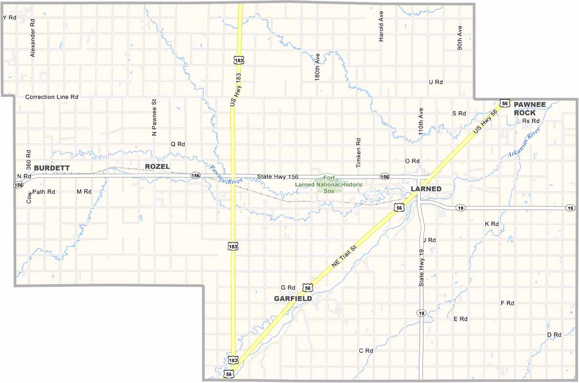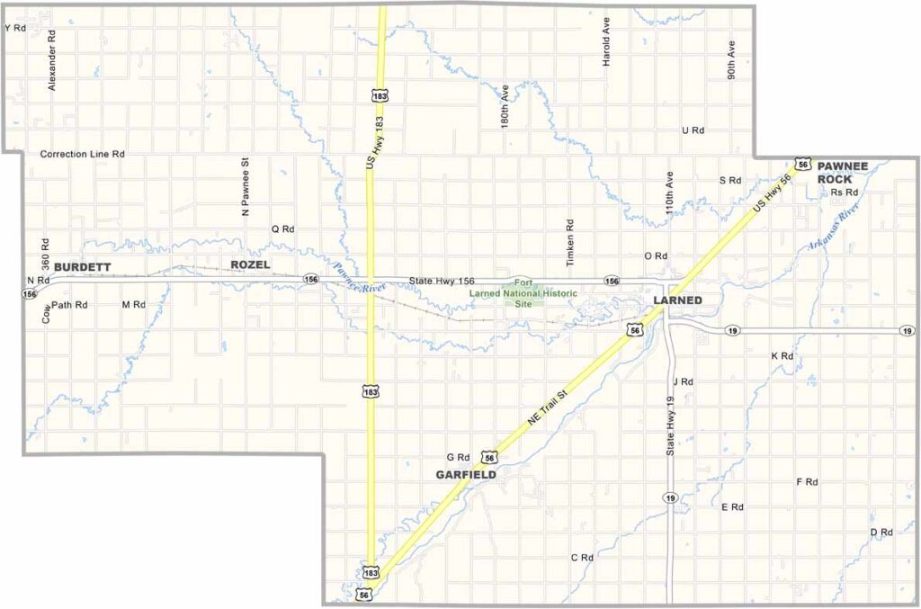
Pawnee County, Kansas

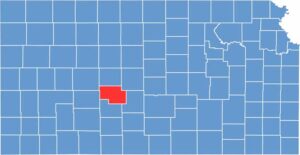
Pawnee County is located in central Kansas, with Larned serving as the largest town. The Arkansas River runs through the county, although it often looks more like sand than water.

The county is home to a state mental hospital, which is a major local employer. Fort Larned National Historic Site is also worth checking out if you’re interested in Old West history.

Most of the area is made up of flat farmland. The Santa Fe Trail once passed through the county. If you like small towns, Old West history, and wide-open skies, Pawnee County could be your spot.
CategoryDetails
County NamePawnee County
County SeatLarned
EtymologyNamed after the Pawnee tribe of Native Americans who inhabited the region.
Cities, Towns, and CommunitiesLarned, Garfield, Rozel, and several smaller communities
Interstates and HighwaysU.S. Highway 56, U.S. Highway 183, Kansas Highway 264
FIPS Code20-145
Total Area (Land and Water)730 square miles (land: 728 sq mi, water: 2 sq mi)
Adjacent Counties (and Direction)Rush County (North), Barton County (Northeast), Stafford County (East), Edwards County (South), Hodgeman County (West), Ness County (Northwest)
Time ZoneCentral Time Zone (CST)
Population6,000
StateKansas
Coordinates38.12°N, 99.14°W
Major LandmarksFort Larned National Historic Site, Pawnee Rock State Historic Site, and the Larned State Hospital
Scroll to Top