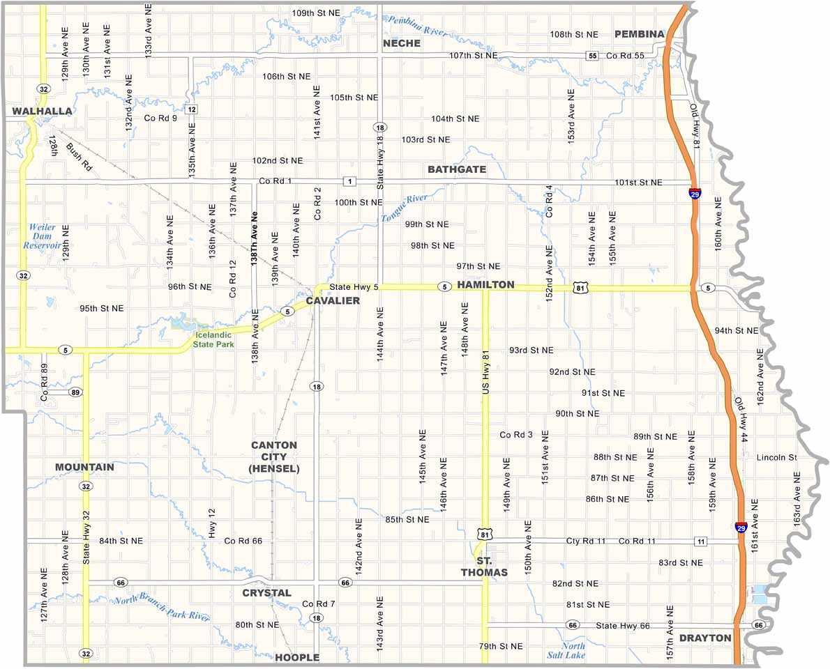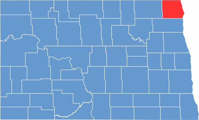
Pembina County hugs the Canadian border in northeastern North Dakota and also borders Minnesota. It's one of the state's oldest settled areas, and the Red River of the North forms its eastern boundary.
Cavalier is the county seat, and agriculture is the lifeblood of the community, with sugar beets and potatoes as major crops. Approximately 7,500 people live here.
Icelandic State Park offers plenty of outdoor recreation, while historians love exploring the Walhalla State Historic Site. The county's mix of cultures, including Métis, Icelandic, and Ukrainian, gives it a unique flavor.
| Category | Details |
|---|---|
| County Name | Pembina County |
| County Seat | Cavalier |
| Etymology | Named after Pembina, a regional term for the local area |
| Cities, Towns, and Communities | Cavalier, Walhalla, Pembina, Neche |
| Interstates and Highways |