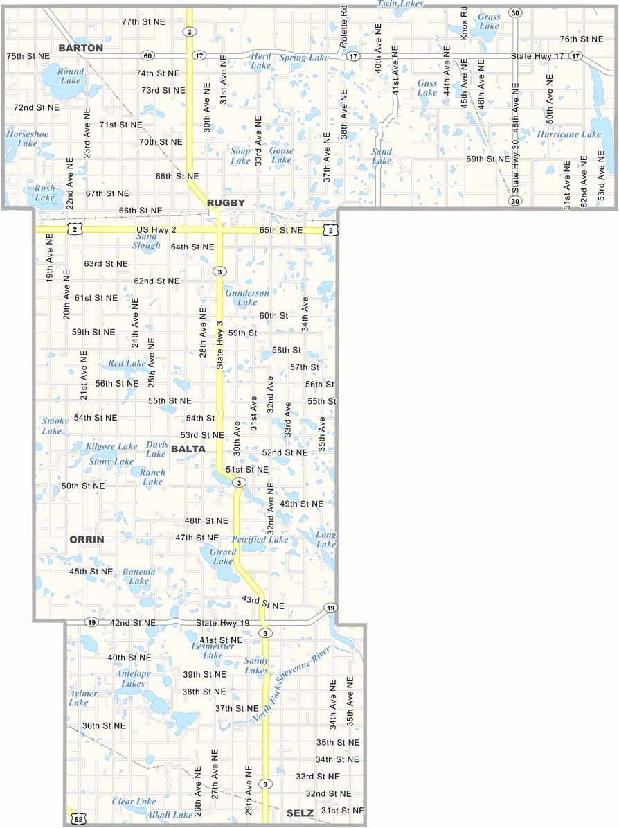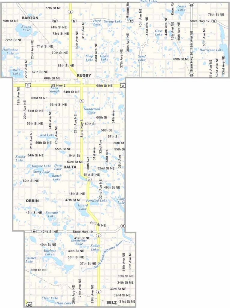
Pierce County Map, North Dakota

Pierce County, North Dakota

Pierce County sits right in the heart of North Dakota. Rugby (not the sport) marks the geographical center of North America, and there's a monument to prove it. The city anchors the county.

The county has a bit of everything, from rolling prairies that give way to forests and lakes. Ranching and farming are still big deals here, but tourism is growing too.

People come to see the Northern Lights Tower in Rugby, and there are plenty of lakes to enjoy throughout the county. Pierce County folks are proud of their heritage, and they're always ready with a warm welcome and a good story.
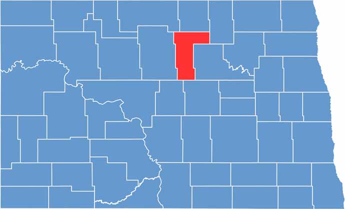
Pierce County location map of North Dakota
CategoryDetails
County NamePierce County
County SeatRugby
EtymologyNamed after Gilbert Ashville Pierce, a Governor of Dakota Territory
Cities, Towns, and CommunitiesRugby, Balta, Bowbells, Rolette
Interstates and HighwaysNorth Dakota Highway 3, North Dakota Highway 2
FIPS Code38-069
Total Area1,775 square miles (land and water)
Adjacent CountiesRolette County (North), Towner County (Northeast), Benson County (East), Wells County (Southeast), Sheridan County (Southwest), McHenry County (West), Bottineau County (Northwest)
Time ZoneCentral Time Zone
StateNorth Dakota
Coordinates48.3742° N, 99.0091° W
Major LandmarksRugby North Dakota’s Geographical Center, Prairie Village Museum
PopulationApproximately 4,000
Scroll to Top