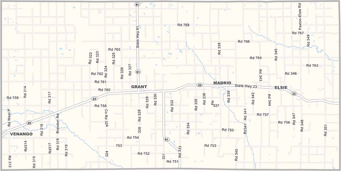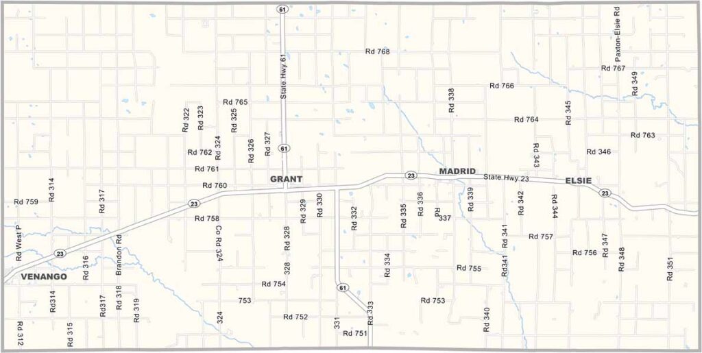
Perkins County Map, Nebraska

Perkins County, Nebraska

Perkins County is located in southwestern Nebraska along the Colorado border. It’s primarily agricultural country, with Grant serving as the county seat.

The landscape is mostly flat, with fields stretching as far as the eye can see. Wheat is the main crop, while corn and cattle also contribute to the local economy. Winters can be extremely windy, and summers are often hot and dry.

The people here are tough and accustomed to the challenging weather. The population has been declining for years, with many young people leaving the area. But those who stay have a strong connection to the place and are proud to call it home.
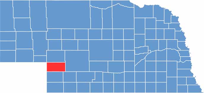

Perkins County location map of Nebraska
CategoryDetails
County NamePerkins County
County SeatGrant
EtymologyNamed after Charles Perkins, a railroad president
Cities, Towns, and CommunitiesGrant, Madrid, Elsie, Venango
Interstates and HighwaysUS 61, NE 23
FIPS Code31-135
Total Area (Land and Water)884 square miles (Land: 883 sq mi, Water: 1 sq mi)
Adjacent Counties (and Direction)Lincoln County (East), Hayes County (Southeast), Chase County (South), Phillips County, Colorado (Southwest), Sedgwick County, Colorado (West), Deuel County (Northwest), Keith County (North)
Time ZoneMountain Time Zone (MT)
StateNebraska
Coordinates40.8469° N, 101.7357° W
Major LandmarksGrant City Park, Champion Mill State Historical Park (nearby)
PopulationApproximately 3,000
Scroll to Top