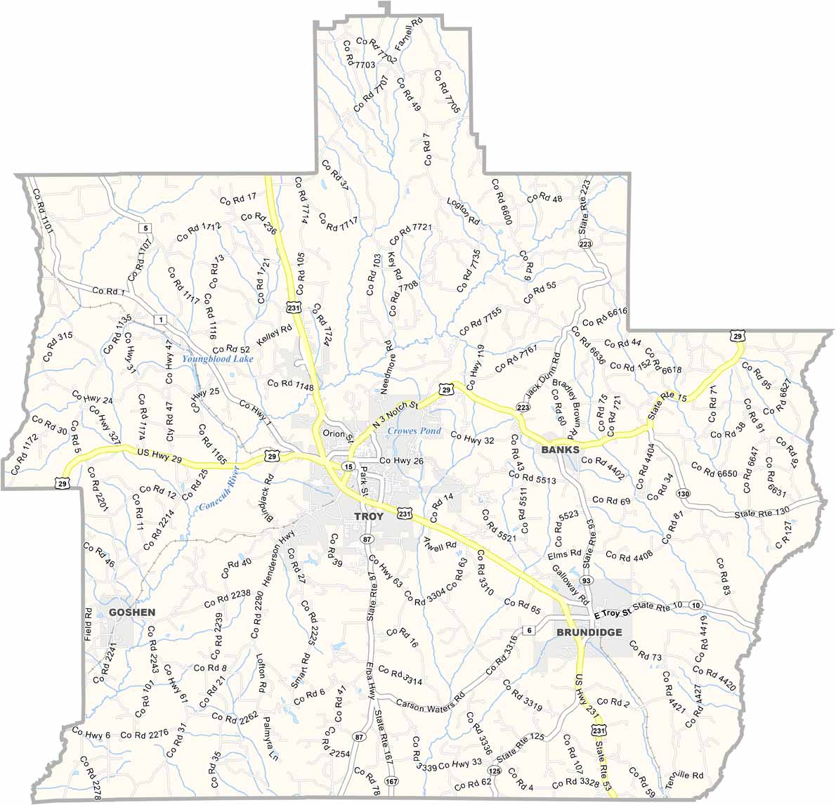
Pike County Map Download Alabama – Outline Map and Blank Map

Pike County Map Download Alabama – Outline Map and Blank Map

Printable Stone County Missouri map showing county boundaries and locations

Alabama

Pike County is located in southeastern Alabama. It has a population of around 34,000 people, and major highways such as U.S. Highway 29 and U.S. Highway 231 run through the area. Troy is the largest city in the county, with approximately 33,000 residents, and it has a strong college-town atmosphere due to Troy University.

The Pioneer Museum of Alabama preserves artifacts from the state’s early frontier history. The county also hosts the annual Pike Piddlers Storytelling Festival, which attracts storytellers from across the region.

Pike County is named after General Zebulon Pike, an explorer and military officer known for his expedition to the American Southwest and the discovery of Pikes Peak.
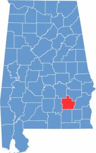

Pike County location map showing its position in Alabama.
Category Details
County Name Pike County
County Seat Troy
Cities, Towns, and Communities Troy, Brundidge, Goshen, Banks, Henderson, Ansley, Spring Hill
Interstates and Highways U.S. Highway 29, U.S. Highway 231, State Route 87, State Route 93, State Route 130, State Route 201
Etymology Named after General Zebulon Pike, an explorer and military officer known for his expedition to the American Southwest, including the discovery of Pikes Peak
FIPS Code 01-109
Total Area (Land and Water) 673 square miles (Land: 672 sq mi, Water: 1 sq mi)
Time Zone Central Time Zone (CT)
State Alabama
Coordinates 31.7960° N, 85.9696° W
Major Landmarks Troy University, Pioneer Museum of Alabama, Johnson Center for the Arts, Pike County Courthouse, Murphree Park
Adjacent Counties (and Direction) Bullock County (Northeast), Barbour County (East), Dale County (Southeast), Coffee County (South), Crenshaw County (West), Montgomery County (Northwest)
Population Approximately 33,000
Scroll to Top