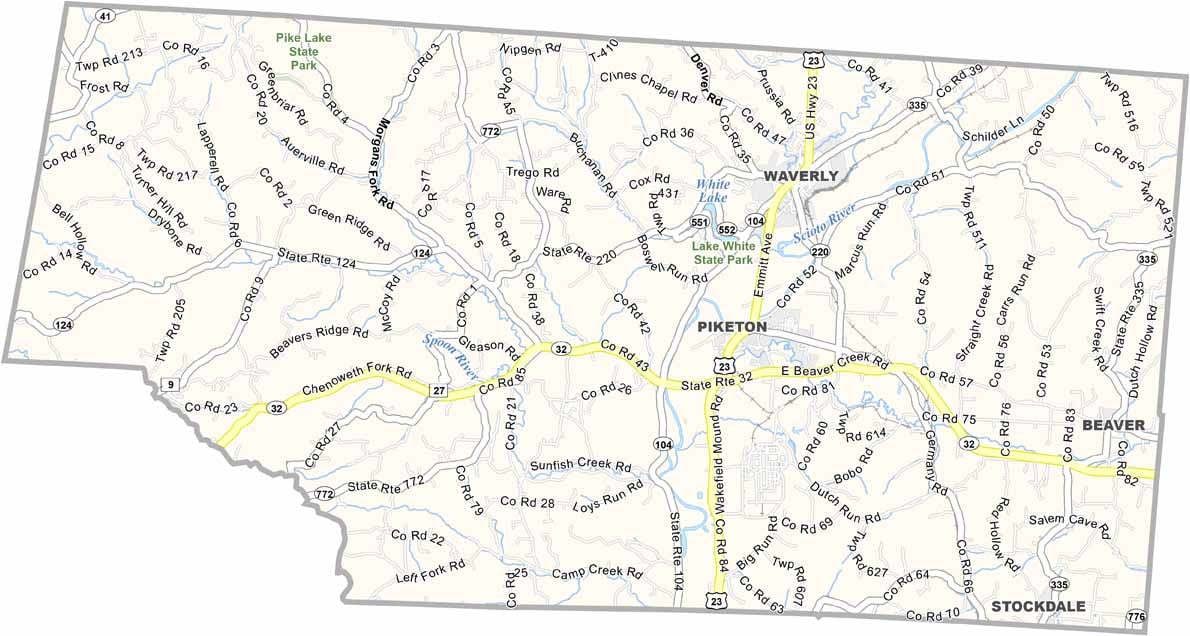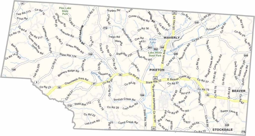
Pike County Map, Ohio

Pike County, Ohio

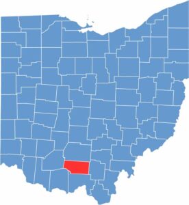
Southern Ohio is where Pike County calls home. It’s rural and proud of it. Waverly serves as the county seat. The county is named after Zebulon Pike, the explorer.

You’ll find some fascinating Native American earthworks here. Lake White State Park, near Waverly, showcases the area’s natural beauty. Farming and manufacturing are both important in Pike County.

Although the county has faced some economic challenges, community spirit runs deep. All in all, Pike County offers a slower pace of life that many residents appreciate.

CategoryDetails
County NamePike County
County SeatWaverly
EtymologyNamed after General Zebulon M. Pike, a War of 1812 officer and discoverer of Pikes Peak
Cities, Towns, and CommunitiesWaverly, Piketon, Beaver, Peebles
Interstates and HighwaysState Route 32, State Route 124, State Route 23
FIPS Code39-131
Total Area441 square miles (land and water)
Adjacent CountiesRoss County (North), Jackson County (East), Scioto County (South), Adams County (Southwest), Highland County (West)
Time ZoneEastern Time Zone
StateOhio
Coordinates39.0834° N, 83.1865° W
Major LandmarksPike Lake State Park, Shawnee State Forest
PopulationApproximately 28,000
Scroll to Top