
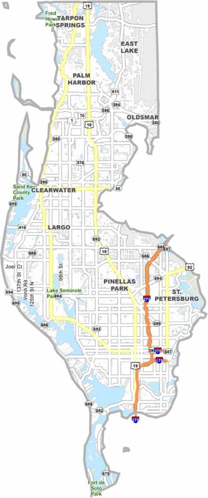
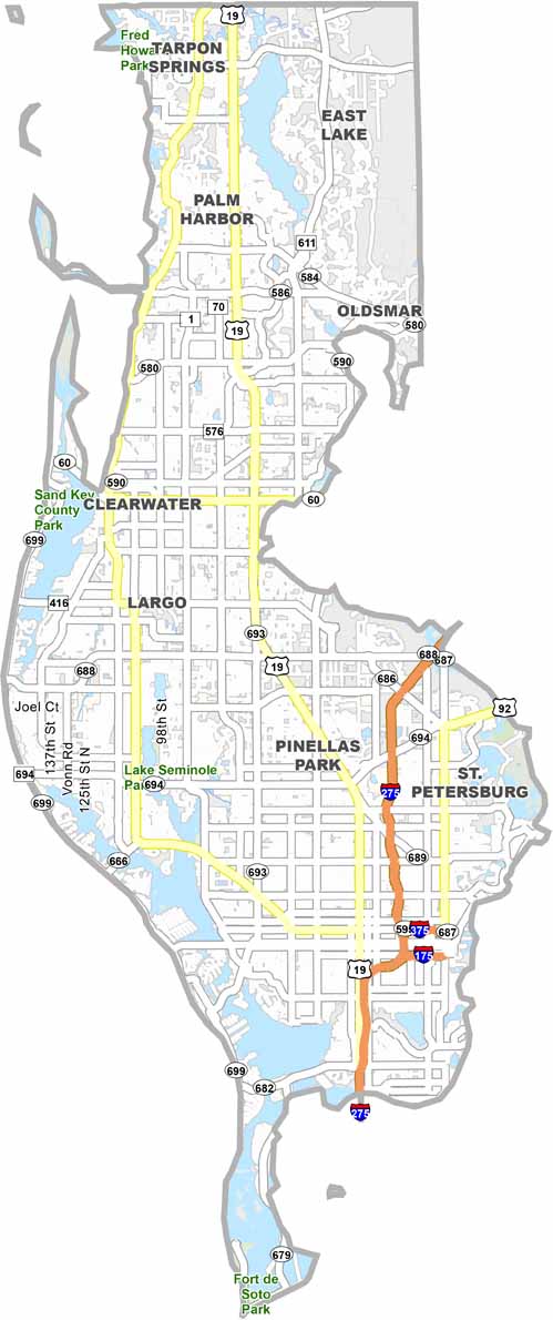
Pinellas County is a densely populated peninsula on Florida’s Gulf Coast, known for its beaches, cities, and year-round sunshine. St. Petersburg and Clearwater are the county’s main urban centers, while communities throughout the peninsula offer a mix of coastal living and city amenities.
The Pinellas Trail stretches nearly the length of the county and is popular with cyclists, walkers, and runners. Honeymoon Island and Caladesi Island provide natural escapes along the Gulf Coast. Despite its dense development, Pinellas County still has protected beaches, parks, and other natural areas. It offers a blend of beach-town atmosphere and urban attractions, from professional sports to spectacular Gulf sunsets.
Stone County is also rich in history and small-town charm. Communities such as Kimberling City and Galena showcase the region’s heritage and welcoming atmosphere, while Branson West serves as a lively gateway to local attractions, offering entertainment, dining, and convenient access to the surrounding Ozark scenery.
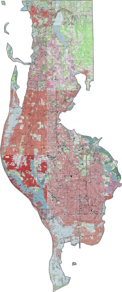
Our Pinellas County topographic map shows a peninsula with subtle changes in elevation. The central spine contains the county’s highest points, while gentle slopes descend toward Tampa Bay. The coastal areas feature barrier islands and extensive mangrove ecosystems. Use our zoom tool to explore these terrain features in greater detail.
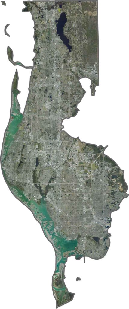
Pinellas County is a narrow peninsula with a densely developed coastline. The barrier islands include Clearwater Beach and St. Pete Beach, while the bay’s estuaries and waterways create a complex coastal landscape. Zoom in to explore how the land and water interact across the county.
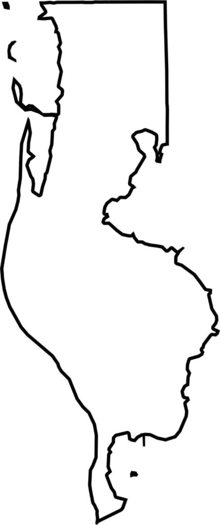
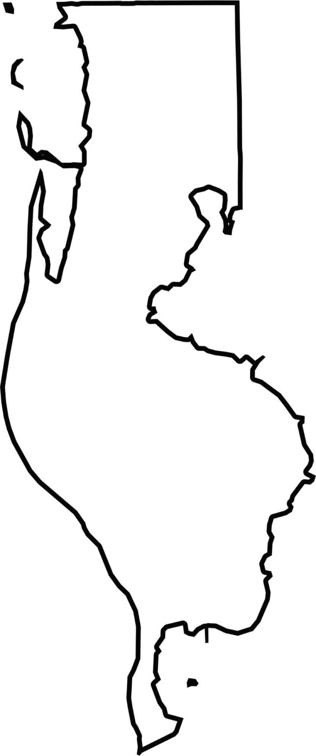
Our blank map shows Pinellas County as a narrow, elongated peninsula along Florida’s western coast. Natural inlets, waterways, and barrier islands shape much of its coastline, giving the county its distinctive form. The blank map makes these coastal boundaries easy to recognize.







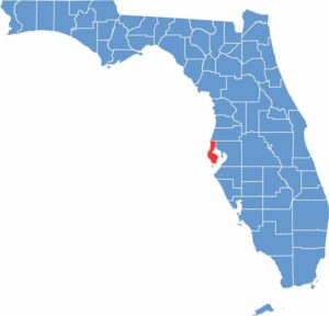
Looking to find a county map of Florida? Our Florida county map breaks down all 67 counties. Explore the Sunshine State with detailed topographic, satellite, and outline maps.