
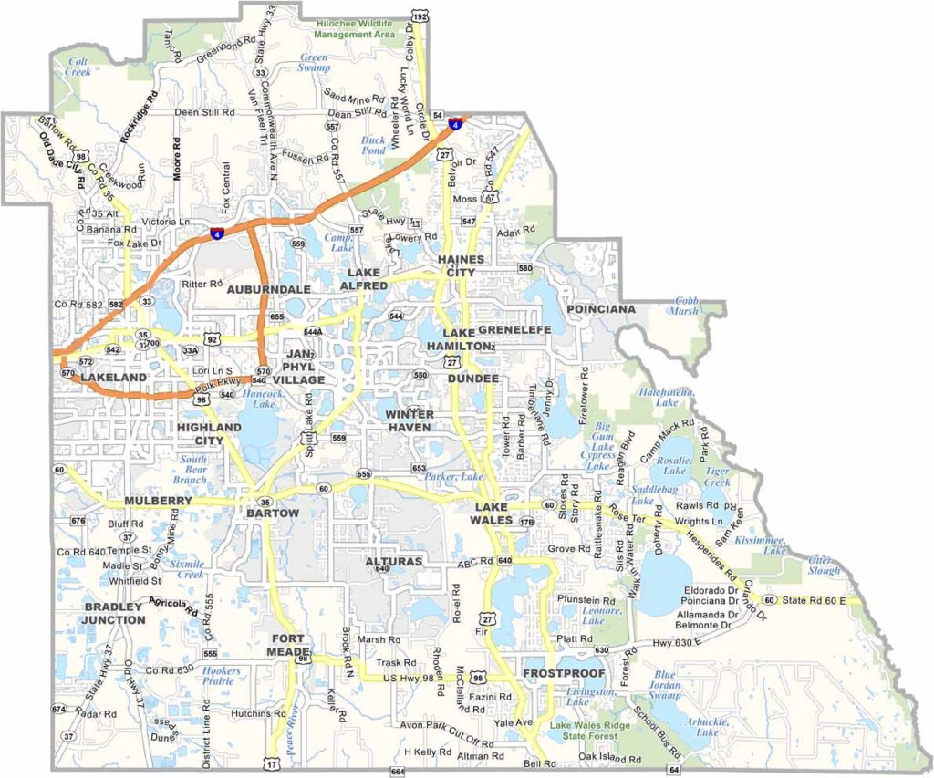
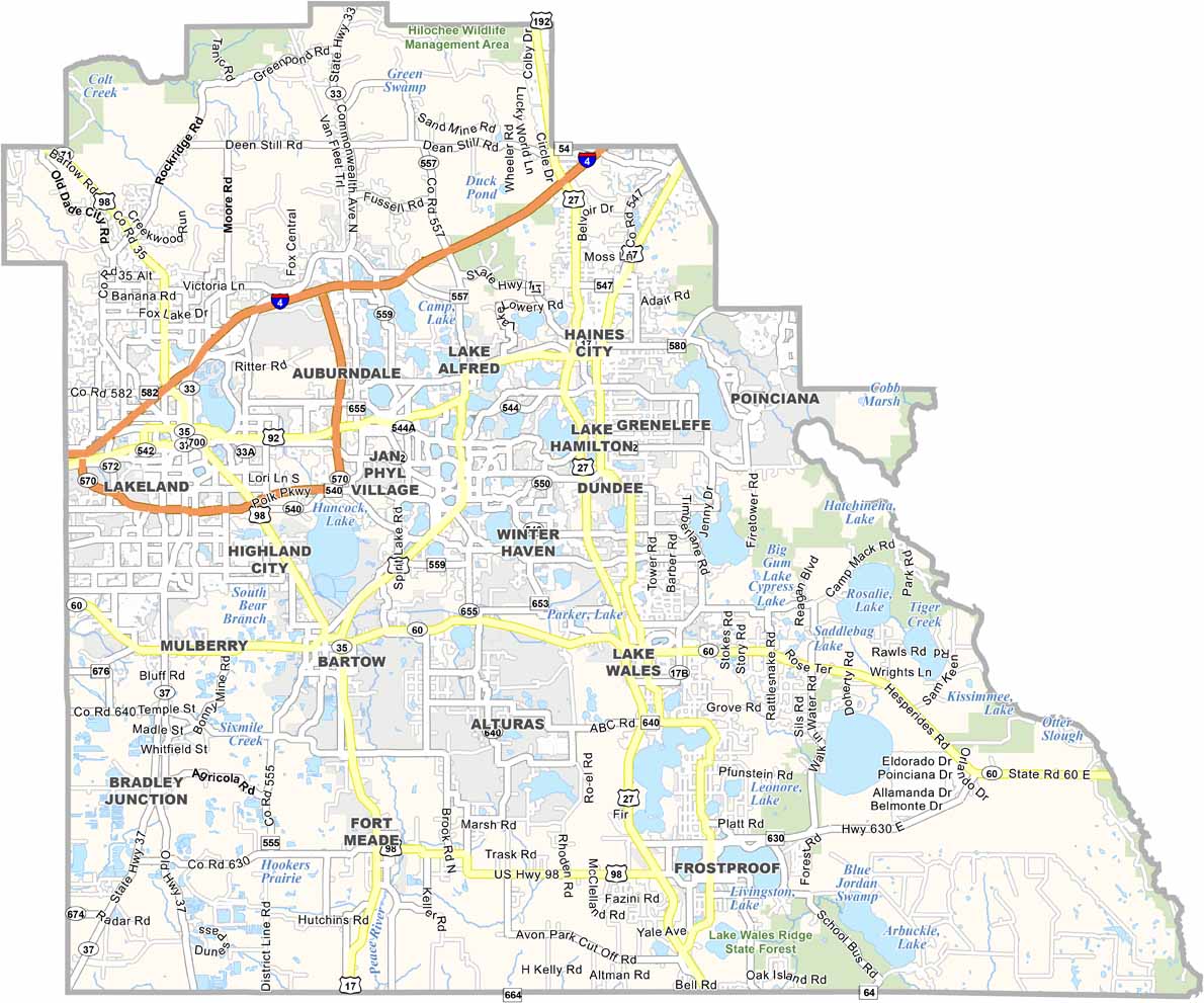
Polk County is located in central Florida, between Tampa and Orlando. Lakeland is the largest city and is known for its charming downtown and swan-filled lakes. The county has a strong agricultural heritage and remains one of Florida’s important citrus-growing regions.
Citrus farming is still a major part of the local economy, while tourism continues to grow with attractions such as LEGOLAND Florida. With numerous lakes throughout the county, residents and visitors have plenty of opportunities for fishing, boating, and other water activities. Bok Tower Gardens is another popular attraction, featuring beautiful gardens and its distinctive singing bell tower.
Polk County combines small towns, agricultural communities, and rapidly growing suburbs. Its culture has a more rural and Southern character than many coastal parts of Florida. Although the county is changing quickly, it continues to hold onto its agricultural roots, offering a unique mix of orange groves, lakes, and family-friendly attractions.
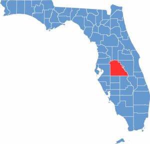
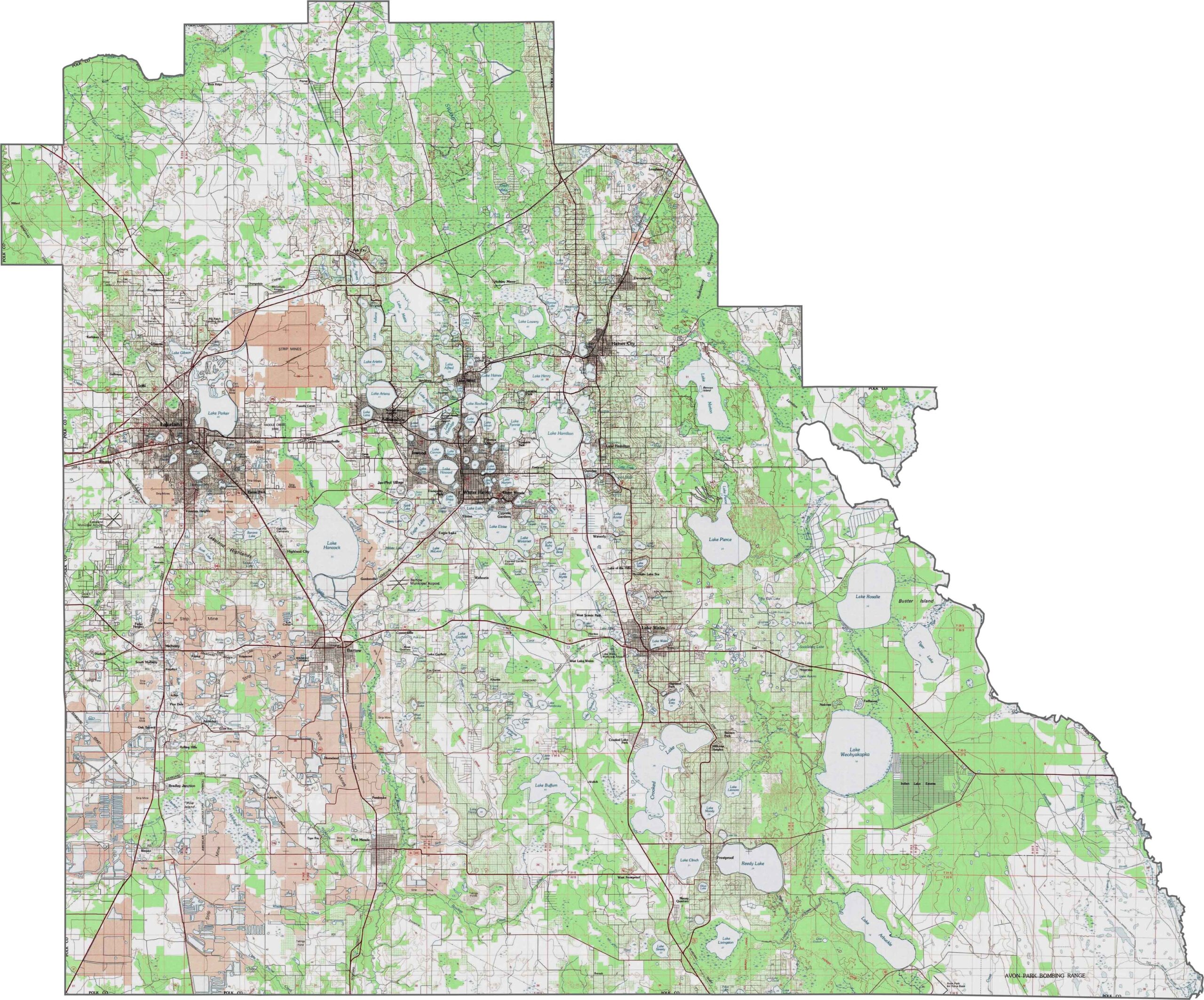
Polk County features some of central Florida’s most varied topography, with rolling hills and elevated ridges. The Lake Wales Ridge runs north to south through the county, creating distinct topographic zones. Our zoom tool lets you explore the county’s more than 550 lakes on this Polk County topographic map.
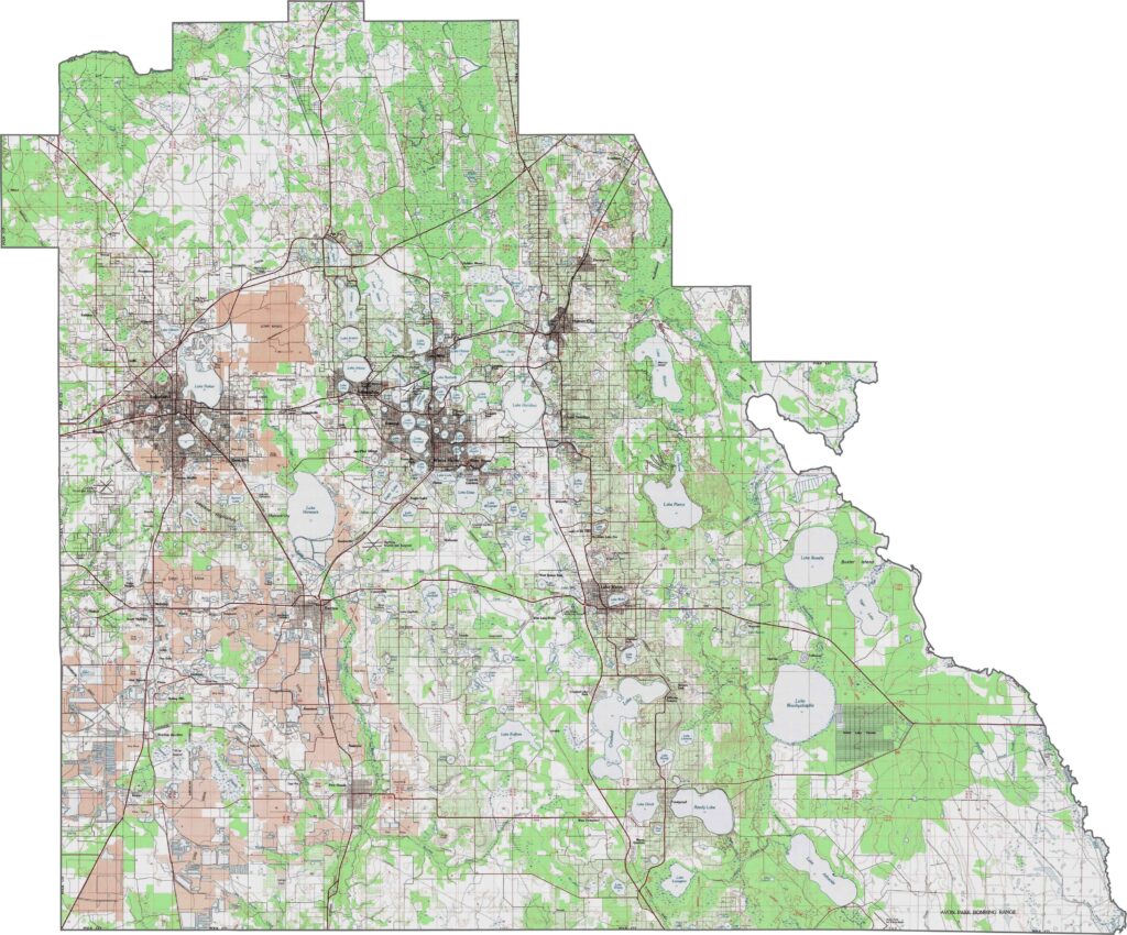
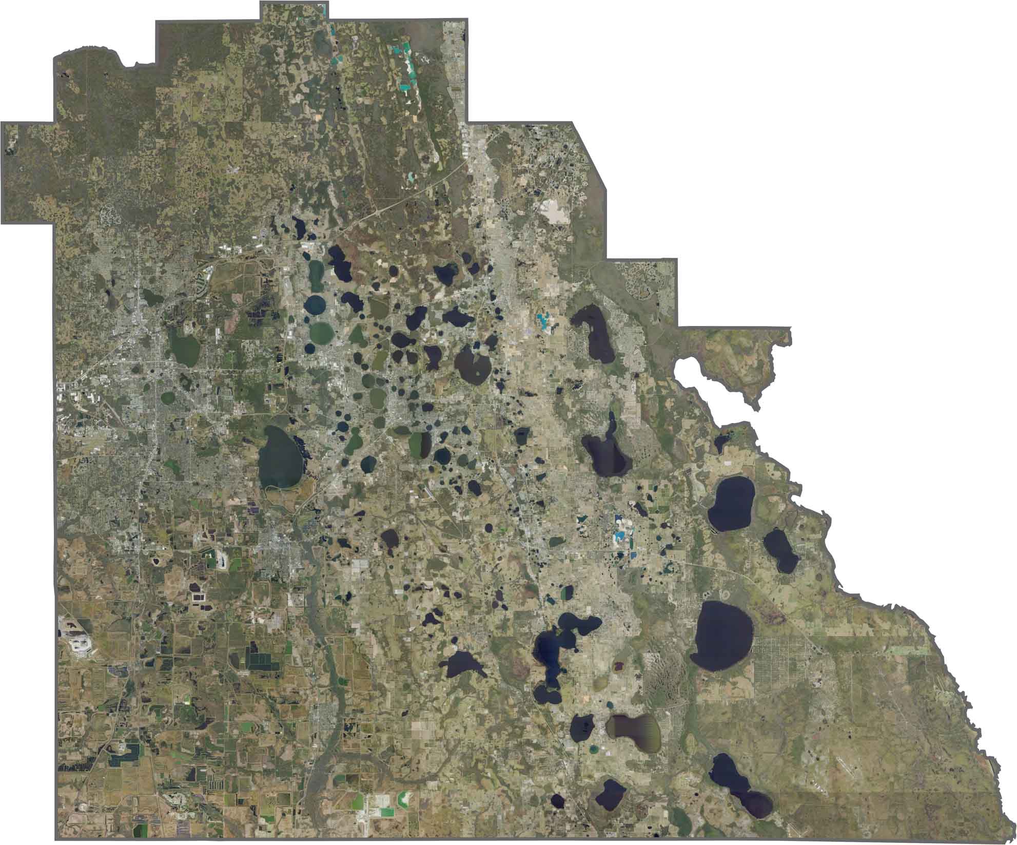
This satellite map highlights Polk County’s inland landscape of lakes, agricultural fields, citrus groves, and mining areas. The numerous lakes, including the Chain of Lakes around Winter Haven, add to the county’s diverse landscape and provide a striking contrast to the surrounding farmland.
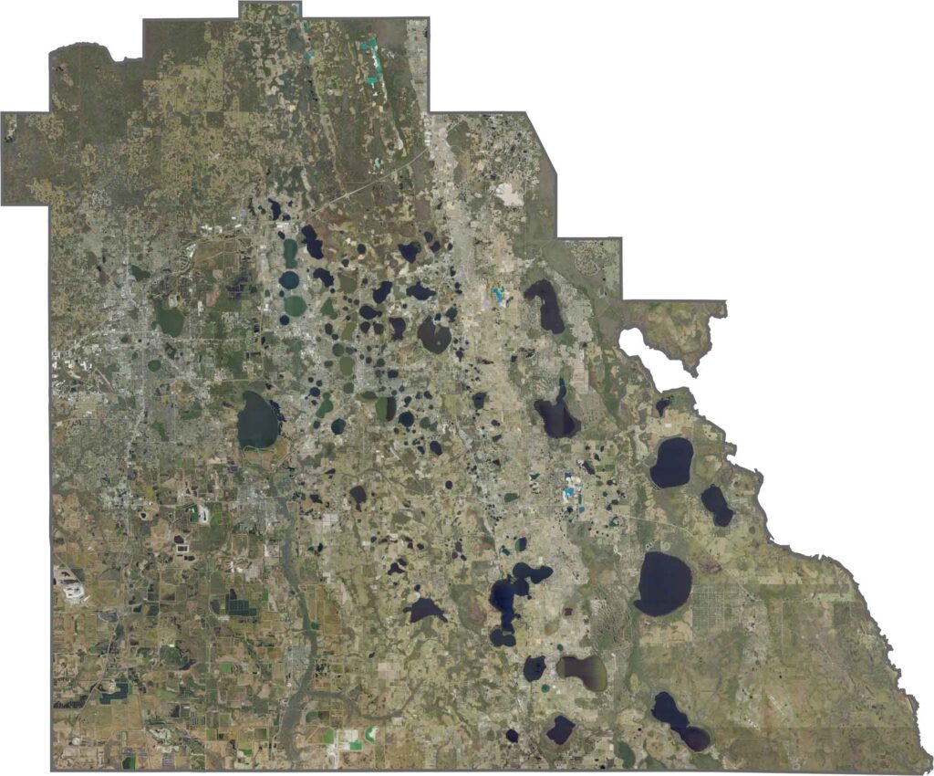
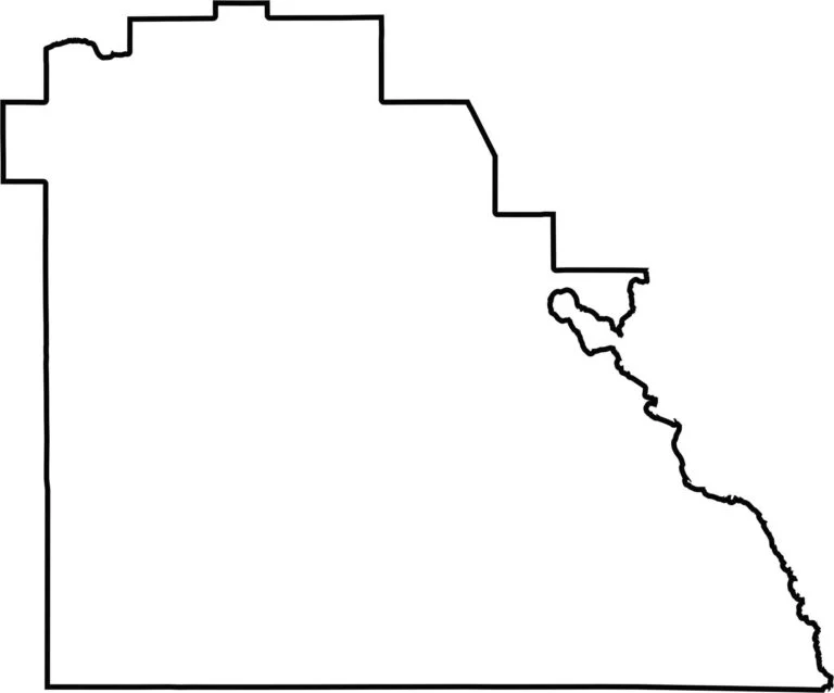
Polk County is landlocked and roughly square, with slight irregularities resulting from historical land divisions. Its boundaries largely follow early survey lines rather than natural features. The blank map below emphasizes the county’s simple, block-like shape.








Looking to find a county map of Florida? Our Florida county map breaks down all 67 counties. Explore the Sunshine State with detailed topographic, satellite, and outline maps.