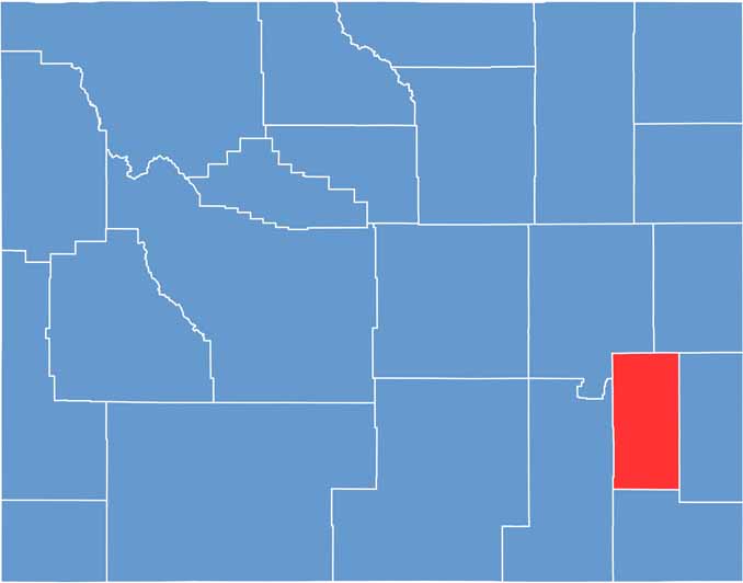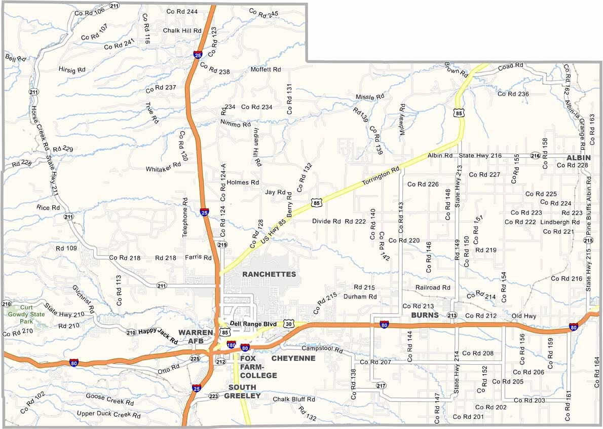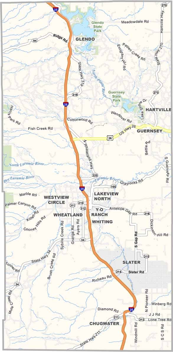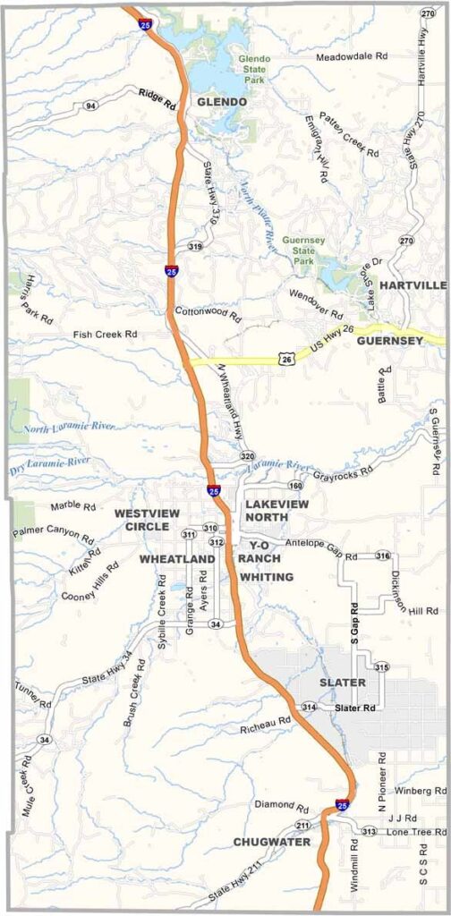
Platte County sits in southeastern Wyoming, right in the heart of cattle country. Wide-open prairies stretch across the landscape, while the North Platte River winds through the county, bringing water and life to the surrounding grasslands.
Wheatland, the county’s largest town, has that classic small-town Wyoming feel. Farming and ranching remain the backbone of the local economy, supported by hardworking families who have built their lives around the land.
The famous Oregon Trail once passed through this area, and you can still spot historic wagon ruts left behind by pioneers. Guernsey State Park surrounds the Guernsey Reservoir and offers plenty of opportunities to enjoy the outdoors. With its rich pioneer history and strong rural roots, Platte County feels like a true piece of old Wyoming.