
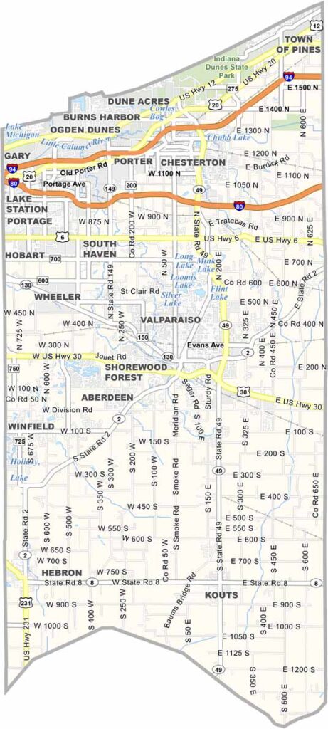
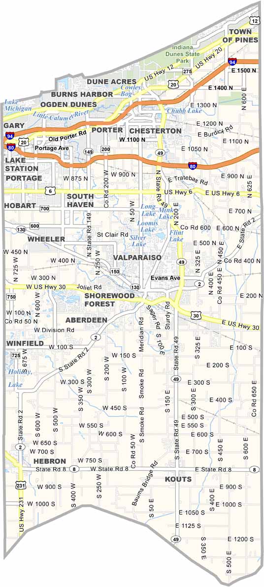
Porter County is located in northwestern Indiana, along the shores of Lake Michigan. Indiana Dunes National Park is the county’s jewel, and people love climbing its massive sand dunes.
The county also features a mix of small towns, including Valparaiso, which is home to Valparaiso University and a lively downtown area. Head north to Portage or Chesterton, and you’ll find a more suburban atmosphere.
It’s a place of stark contrasts, where steel mills share the lakefront with pristine beaches. But Porter County isn’t all lakefront—the southern part is mostly classic Indiana farmland.
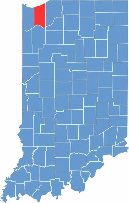
Flat plains cover much of the county, while sand dunes line the Lake Michigan shoreline. The southern areas are mostly level, while the northern lakeshore features rolling dunes and wetlands. I-80 and I-94 are the main highways in Porter County.
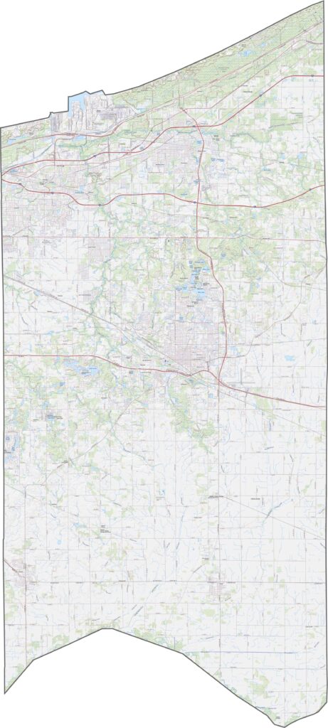
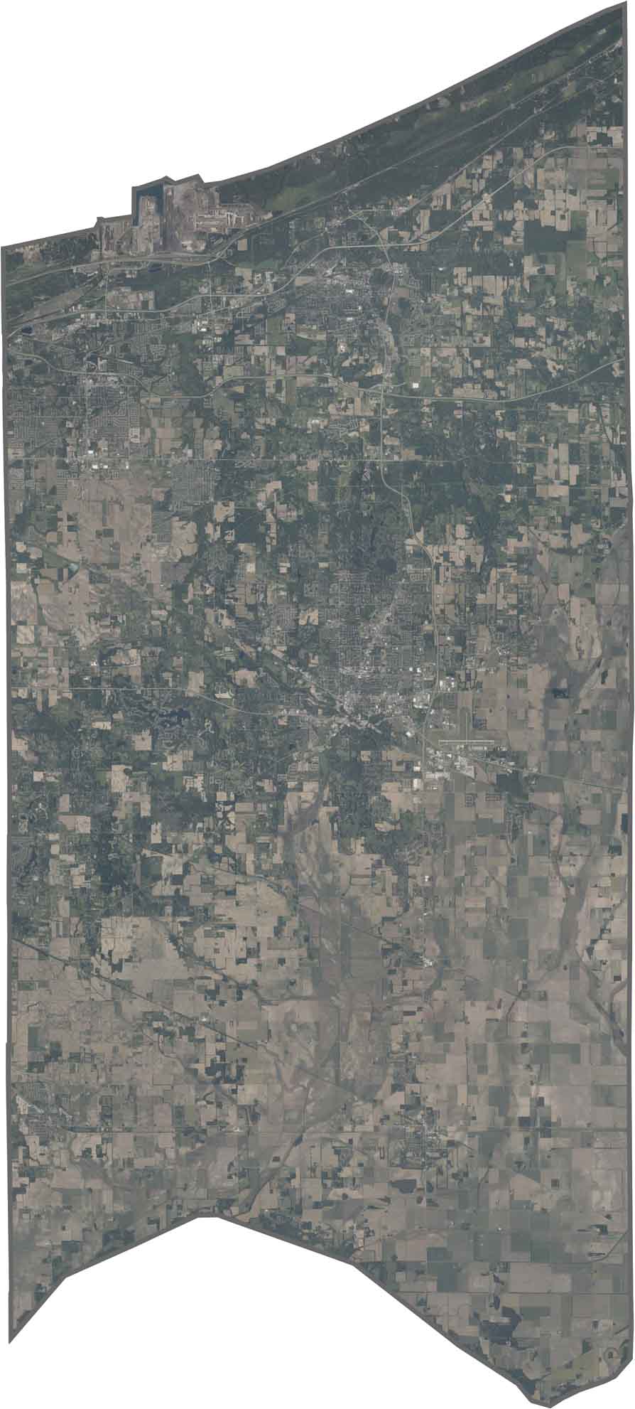
The Indiana Dunes stand out as light-colored sandy areas along the blue lake. Farther south, scattered towns are surrounded by farmland, while the intersecting highways create straight lines across the landscape.
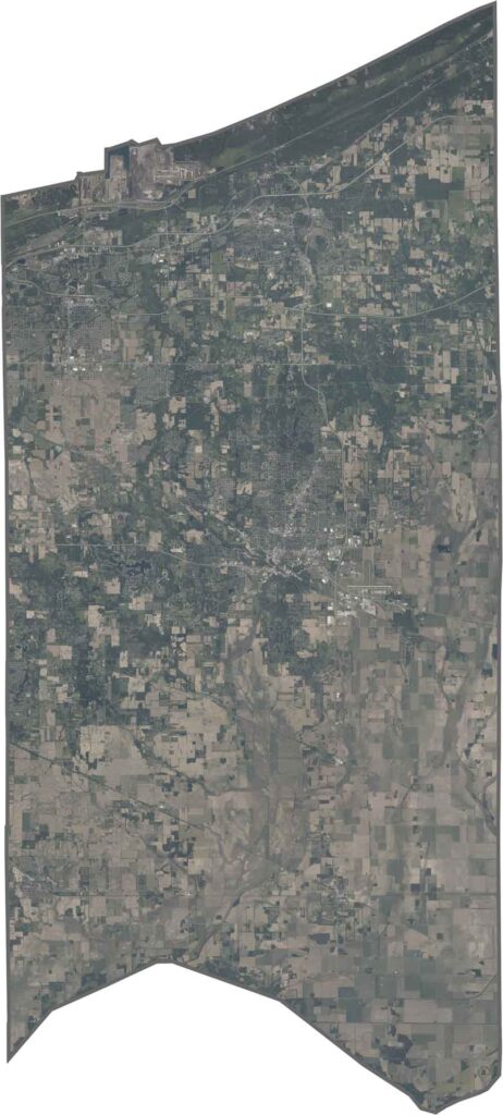
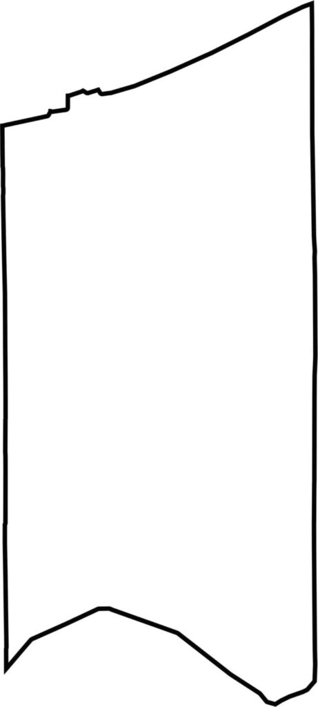
The county has an irregular shape that narrows toward the south. Lake Michigan forms its entire northern border, while the Kankakee River defines its southern edge. It does not touch any other states but lies close to Illinois to the west.







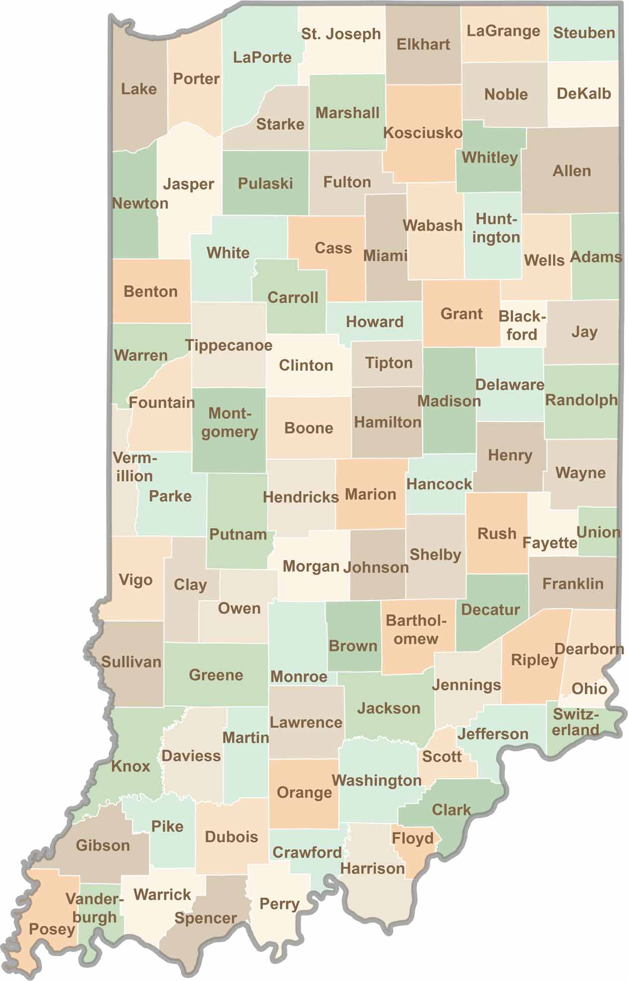
Explore the Hoosier State, home to 92 counties filled with scenic backroads, impressive skyline views, and charming small towns. Think of this as your glovebox passport to Indiana, guiding you to classic diner pies, covered bridges, and stunning Lake Michigan sunsets.