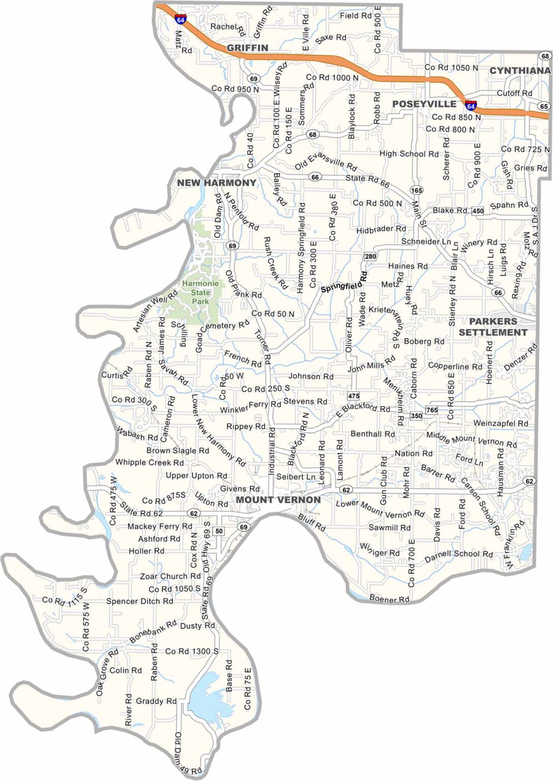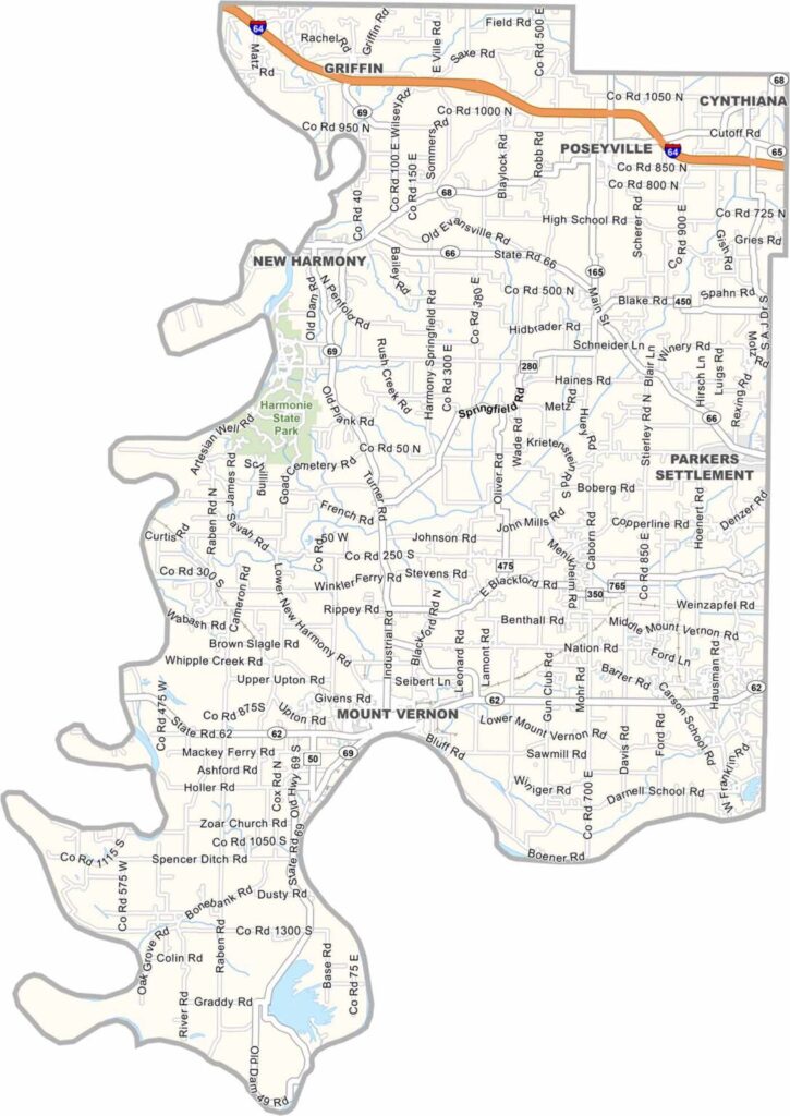
Posey County, Indiana

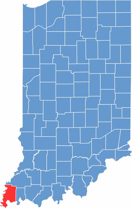
Posey County sits in the extreme southwestern corner of Indiana. It’s about as far from Indianapolis as you can get while still being in the state. It’s also where the Wabash River meets the Ohio River at the southeastern tip.

The county is mostly flat farmland, but the rivers add plenty of character. Harmonie State Park is here if you’re into camping and hiking. The county seat is Mount Vernon, a river town with views of both Kentucky and Illinois.

New Harmony, a tiny town with a big history, is the county’s claim to fame. It was founded as a utopian community and still has that quaint, idealistic vibe.

CategoryDetails
County NamePosey County
County SeatMount Vernon
EtymologyNamed after Thomas Posey, the last Governor of the Indiana Territory
Cities, Towns, and CommunitiesMount Vernon, New Harmony, Cynthiana, Poseyville, Wadesville, Griffin, Blairsville, Parker Settlement
Interstates and HighwaysI-64, IN-62, IN-66, IN-68, IN-69
FIPS Code18-129
Total Area (Land and Water)419 square miles (Land: 409 sq mi, Water: 10 sq mi)
Adjacent Counties (and Direction)White County, Illinois (West), Gallatin County, Illinois (Southwest), Gibson County (North), Union County, Kentucky (South), Vanderburgh County (East), Henderson County, Kentucky (Southeast)
Time ZoneCentral Time Zone (CT)
Population25,000 (estimated)
StateIndiana
Coordinates38.0039° N, 87.8749° W
Major LandmarksNew Harmony Historic District, Harmonie State Park, Hovey Lake Fish and Wildlife Area, Posey County Courthouse
Scroll to Top