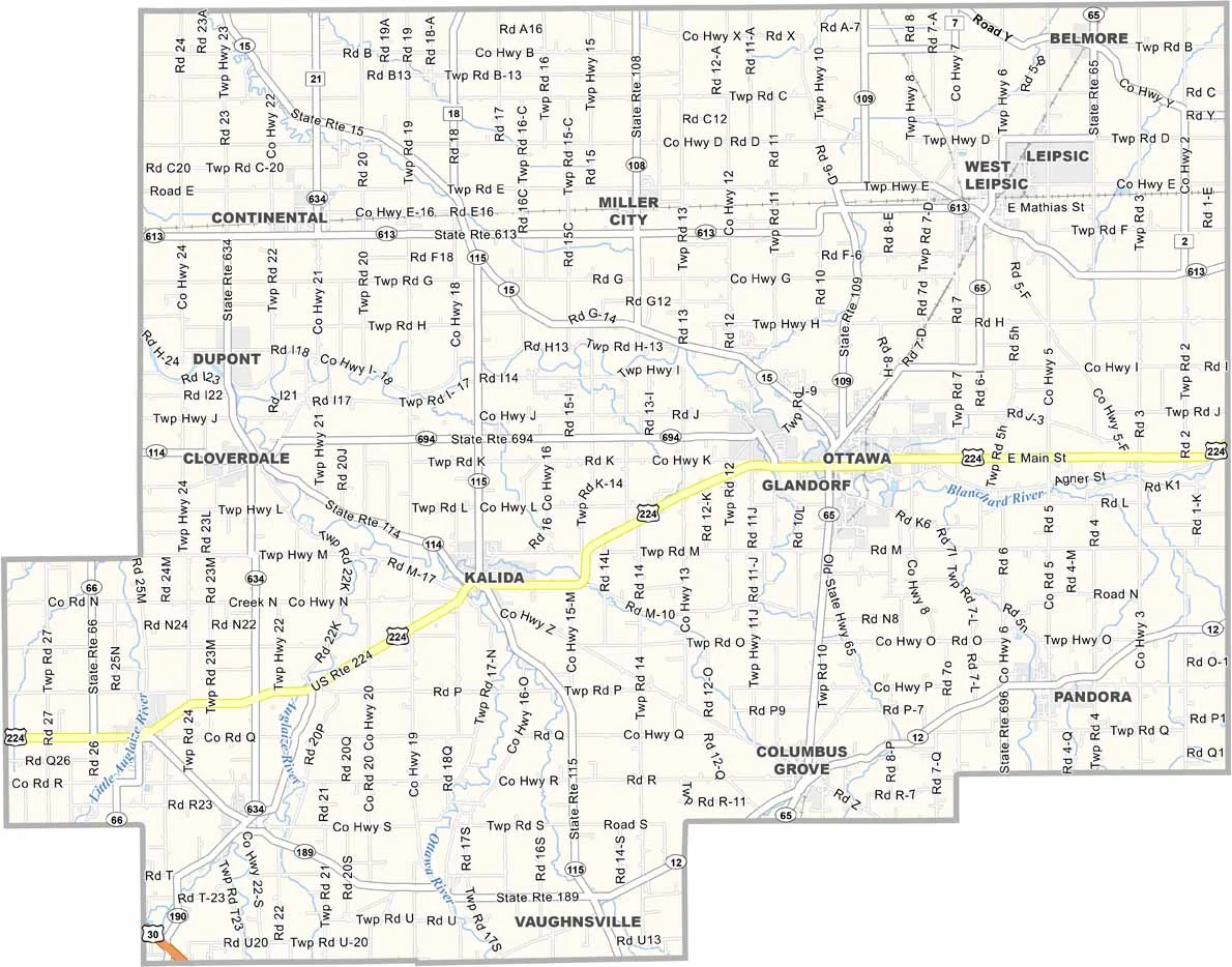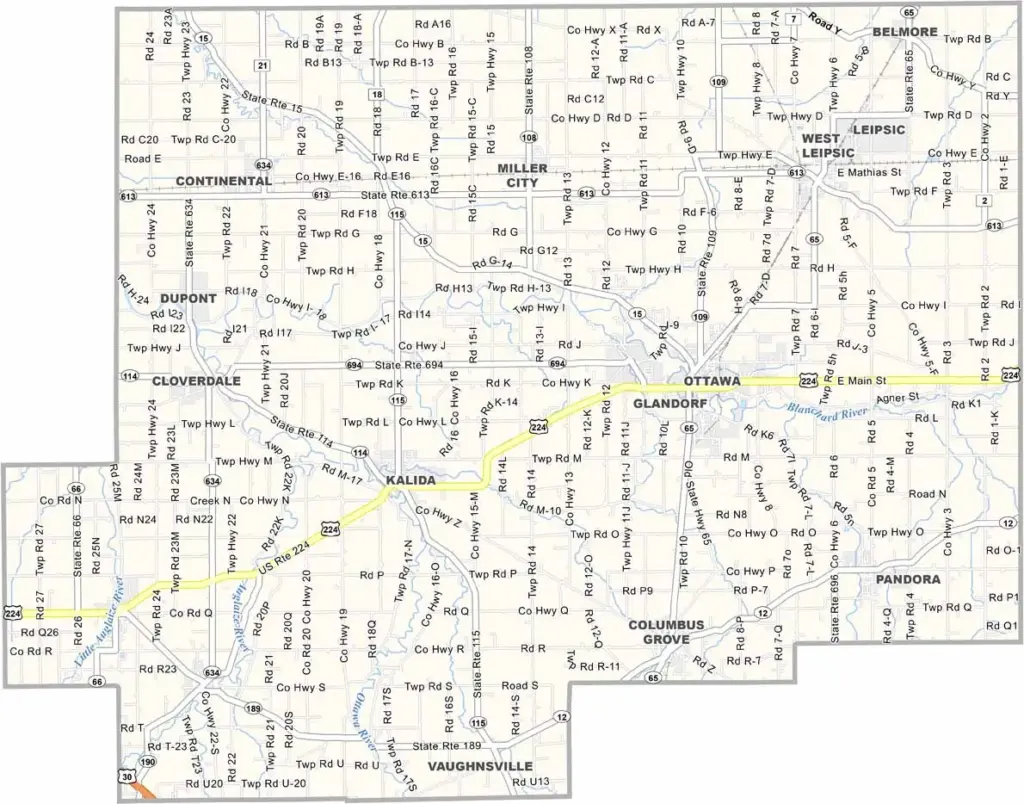
Putnam County Map, Ohio

Putnam County, Ohio

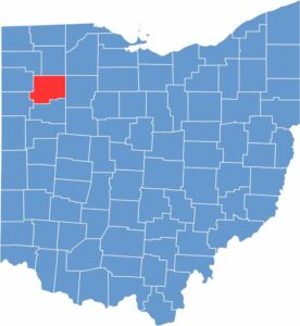
Putnam County is in northwest Ohio, and it’s flat here. Ottawa, the county seat, sits on the Blanchard River. The county is named after Israel Putnam, a general in the Revolutionary War.

Farming dominates the landscape, with plenty of corn and soybeans. The county has a significant Amish population, which adds to the area’s heritage. Manufacturing plays a role in the local economy too.

The Putnam County Fair is a summer highlight because it brings the whole community together. People here take pride in their rural roots. Small towns like Kalida and Leipsic add character, hosting local events and festivals.

CategoryDetails
County NamePutnam County
County SeatOttawa
EtymologyNamed after General Israel Putnam, a Revolutionary War officer
Cities, Towns, and CommunitiesOttawa, Leipsic, Pandora, Columbus Grove
Interstates and HighwaysU.S. Highway 224, State Route 12, State Route 65
FIPS Code39-137
Total Area485 square miles (land and water)
Adjacent CountiesHenry County (North), Hancock County (East), Allen County (South), Van Wert County (Southwest), Paulding County (West), Defiance County (Northwest), Wood County (Northeast)
Time ZoneEastern Time Zone
StateOhio
Coordinates41.1036° N, 84.1263° W
Major LandmarksPutnam County Historical Society, The Ottawa Historical Society
PopulationApproximately 34,000
Scroll to Top