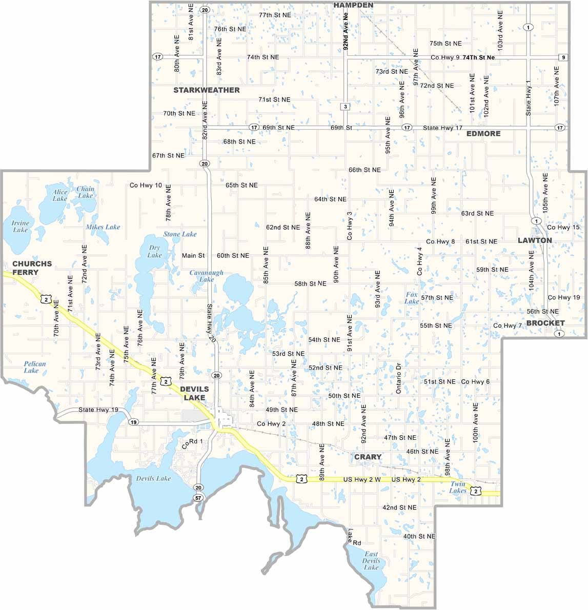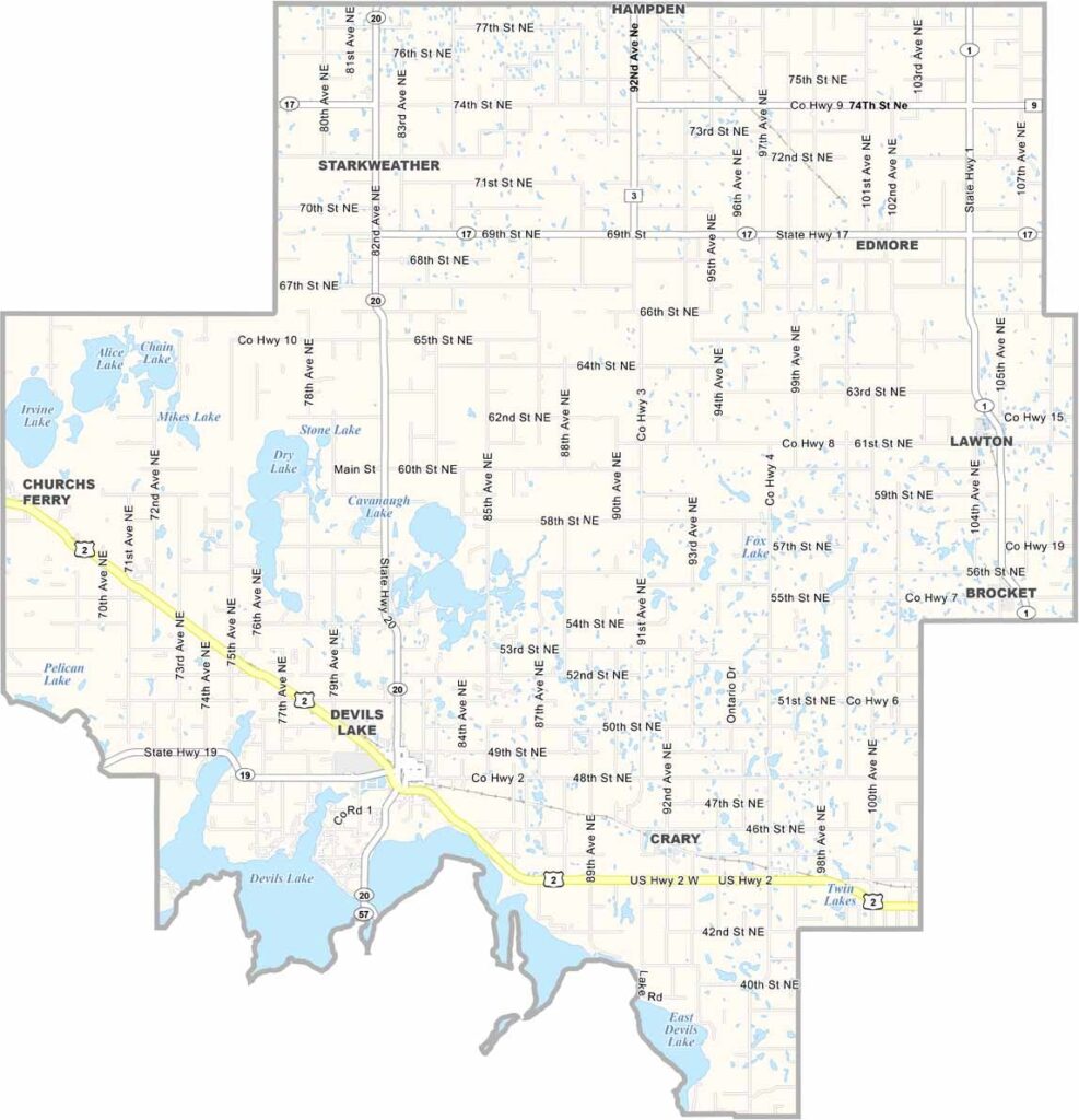
Ramsey County Map, North Dakota

Ramsey County, North Dakota

Ramsey County sits in the northeastern part of North Dakota, where Devils Lake, the state's largest natural body of water, dominates the landscape. The lake has shaped the area's history and economy.

Agriculture is still important, but tourism is booming. The fishing here is world-class, with walleye, perch, and northern pike all biting. Hiking trails also crisscross the southern part of the county.

The county has seen its share of ups and downs, and flooding has been a real challenge. Still, the people have turned adversity into opportunity.
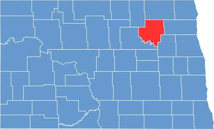
Ramsey County location map of North Dakota
CategoryDetails
County NameRamsey County
County SeatDevils Lake
EtymologyNamed after Alexander Ramsey, a governor and senator
Cities, Towns, and CommunitiesDevils Lake, St. Michael, Manvel, Tolna
Interstates and HighwaysNorth Dakota Highway 2, North Dakota Highway 19
FIPS Code38-071
Total Area1,934 square miles (land and water)
Adjacent CountiesCavalier County (North), Walsh County (East), Nelson County (Southeast), Benson County (Southwest), Towner County (Northwest)
Time ZoneCentral Time Zone
StateNorth Dakota
Coordinates48.1130° N, 98.9300° W
Major LandmarksDevils Lake, Fort Totten State Historic Site
PopulationApproximately 11,000
Scroll to Top