
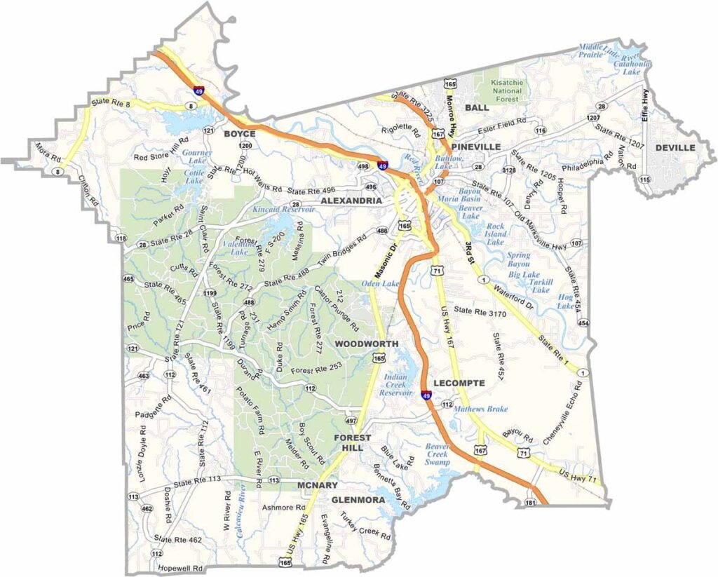
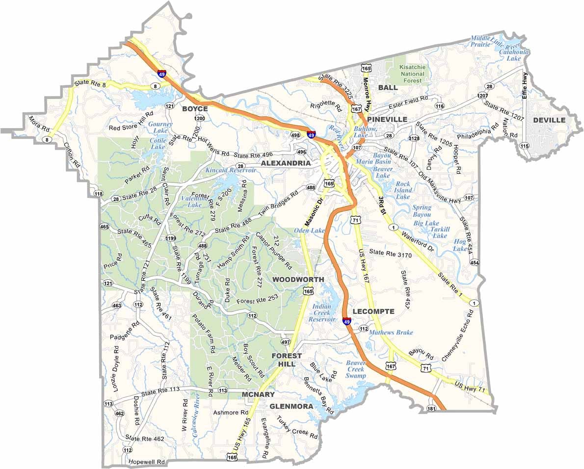
Rapides Parish sits in the heart of central Louisiana, making it a natural hub for the region. It is home to Alexandria, the parish seat and largest city, where local culture, commerce, and community life come together.
The Red River flows through the parish, with a network of lakes along its eastern side. These waterways provide plenty of opportunities for fishing, boating, and outdoor recreation, especially on relaxed weekends.
Known for its friendly communities and flavorful Louisiana cuisine, Rapides Parish offers local favorites such as spicy crawfish and sweet, soft beignets. Like any community, the parish faces its share of challenges, but for many residents, Rapides Parish remains a welcoming place to call home.
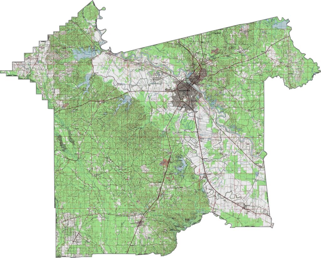
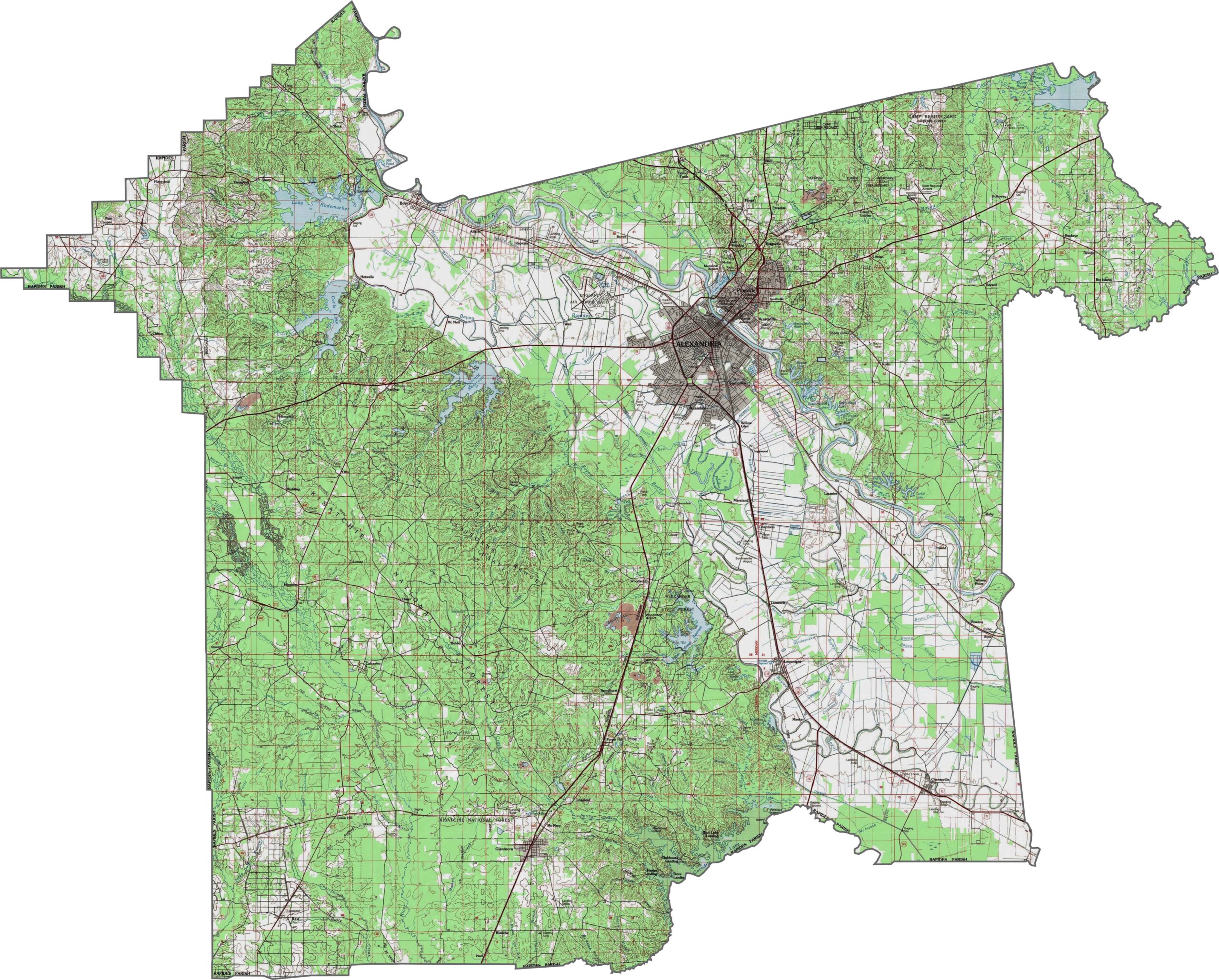
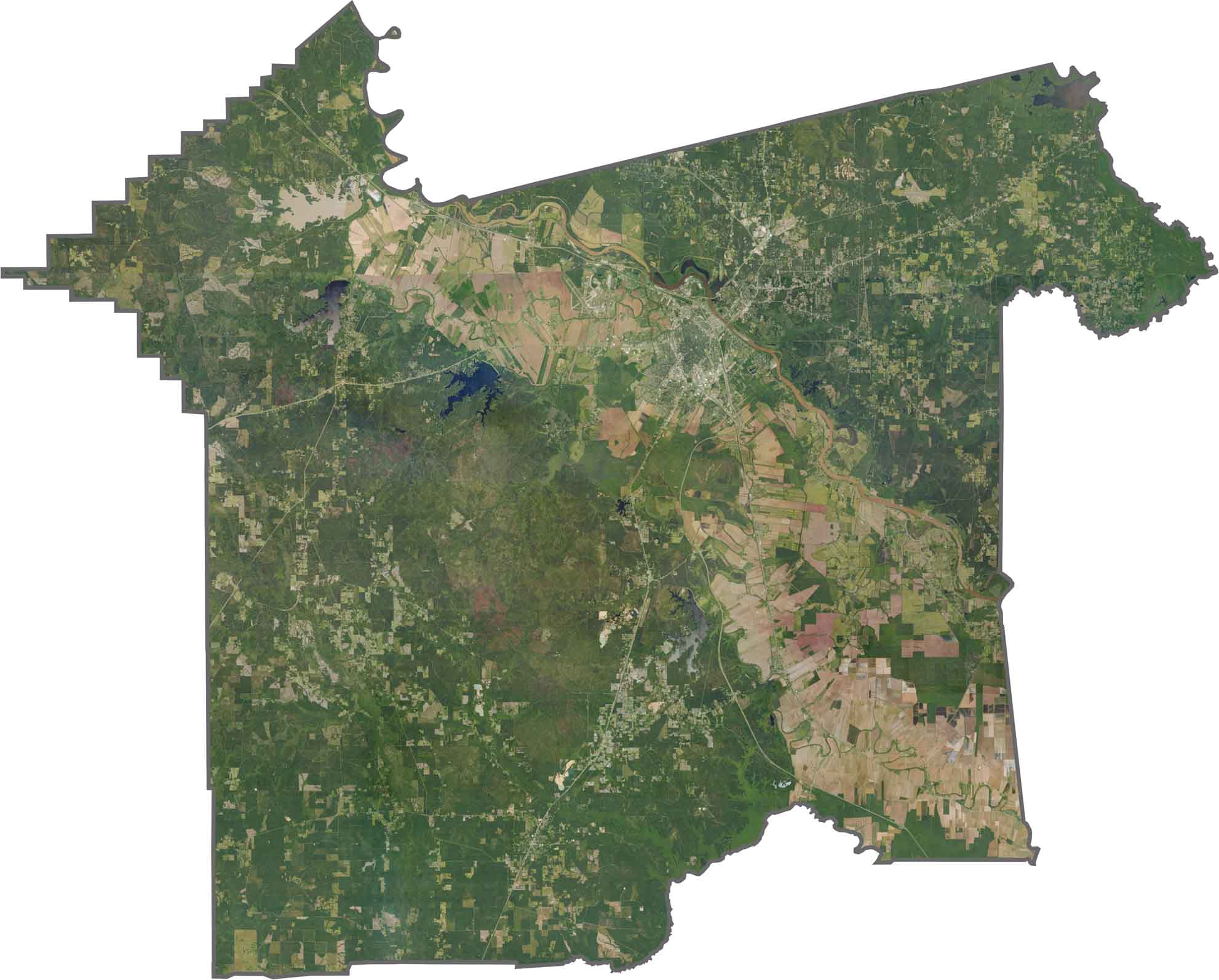
Rapides Parish features a striking mix of river valleys and pine-covered hills. The Red River floodplain creates broad, low-lying areas, while the landscape generally slopes eastward. Along some waterways, however, sharp bluffs rise above the surrounding terrain. Explore these elevation changes and landscape patterns clearly with our detailed zoom feature.
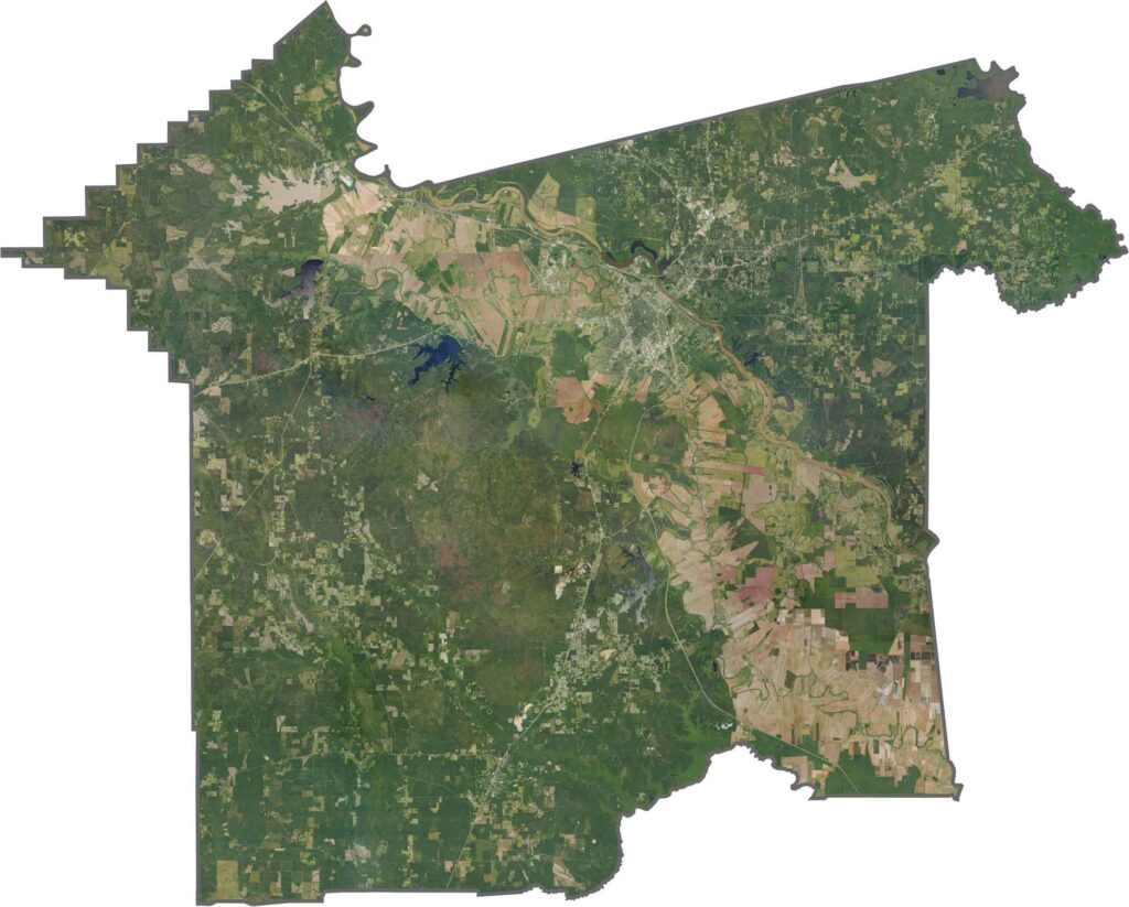
The Red River cuts diagonally across Rapides Parish, creating numerous bends and oxbow lakes throughout the floodplain. Southwest of Alexandria, the large military installation stands out prominently against the surrounding landscape and adds another distinctive feature to the parish map.
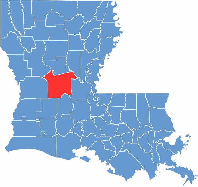
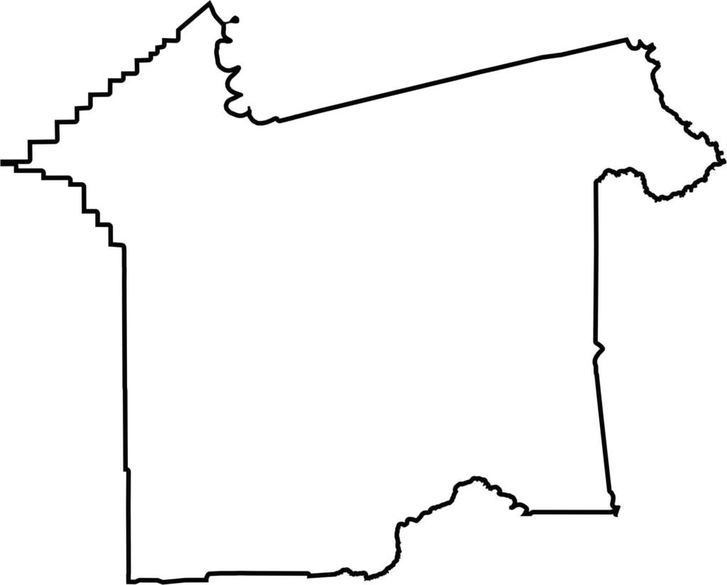
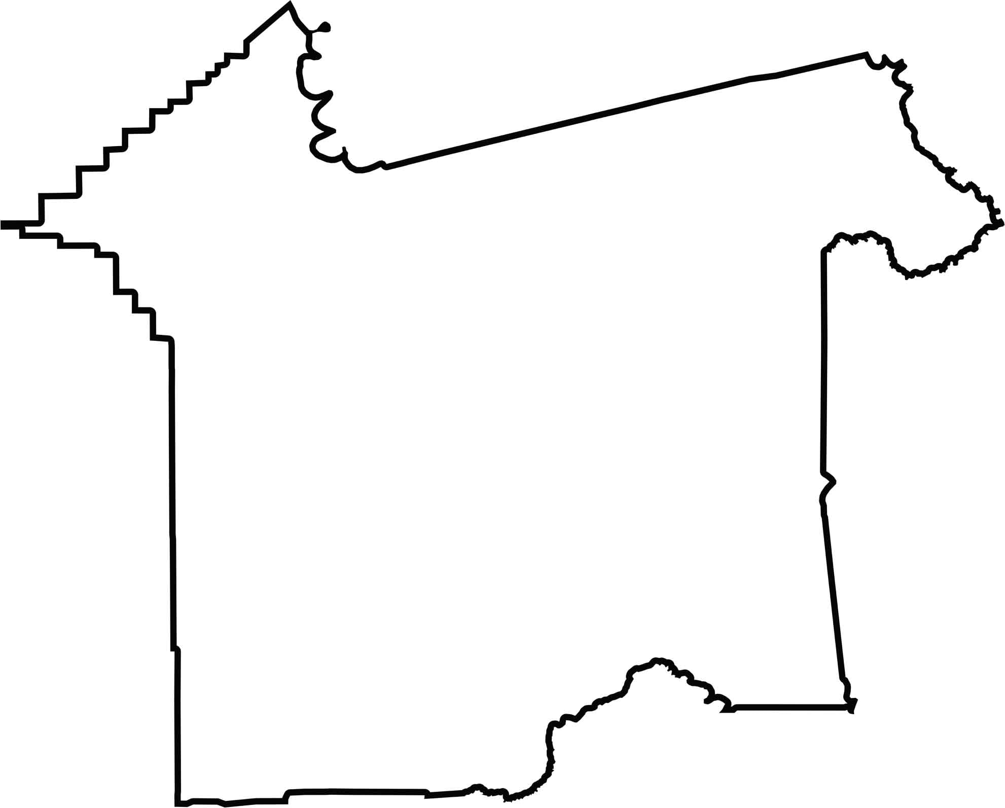
Rapides Parish has a roughly square shape that tilts toward the northeast. It lies entirely within Louisiana, with no state borders, while sharing boundaries with seven neighboring parishes. This central location gives Rapides a distinctive position within the state’s geographic landscape.






In Louisiana, you’ll taste the spirit of the state in its hot sauce and hear it in the midnight blues. Laissez les bon temps rouler! Explore our Louisiana parish maps to discover the state’s unique communities, winding bayous, and rich landscapes. Come for the beignets. Stay for the bayou.