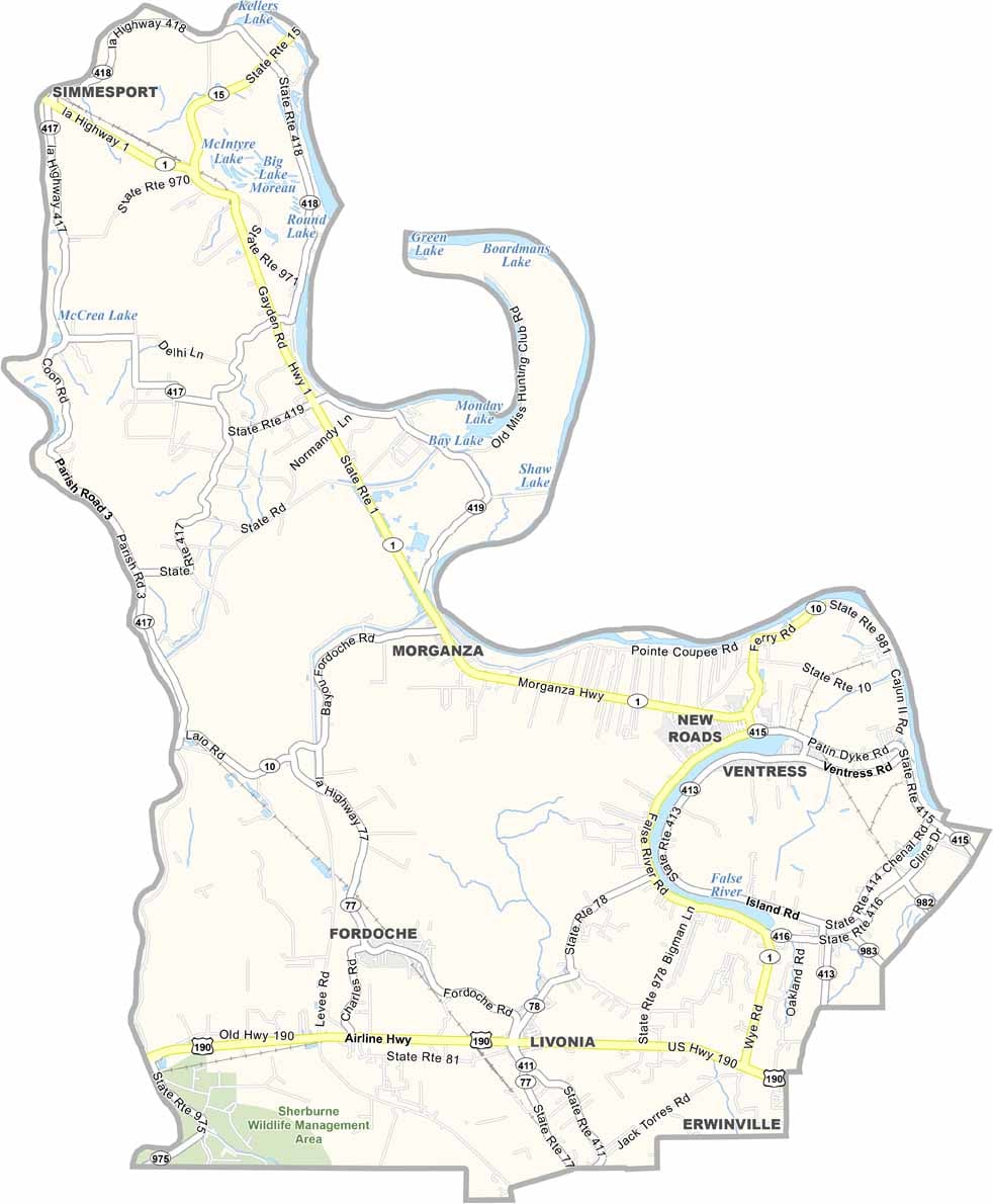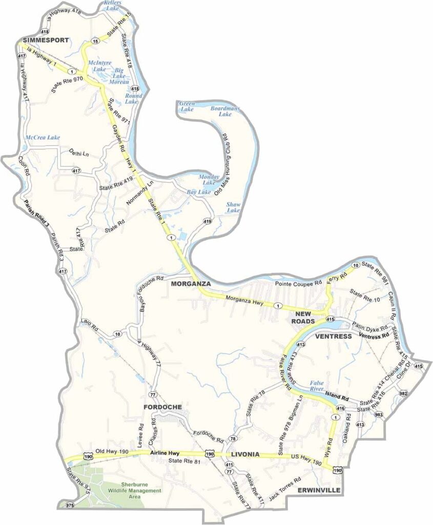
Pointe Coupee Parish, Louisiana

Pointe Coupee Parish stretches along the winding Mississippi River in south-central Louisiana, where a rich blend of history and natural beauty shapes the local landscape and culture.

The parish takes its name from the French phrase meaning “cut point,” a reference to an oxbow lake created by the powerful Mississippi River. This connection to the river remains an important part of the parish’s identity and geography.

New Roads, the parish seat, is known for its lively Mardi Gras celebrations, while False River, the famous oxbow lake, is a popular destination for water sports, boating, fishing, and relaxing weekend getaways.

CategoryDetails
Parish NamePointe Coupee Parish
Parish SeatNew Roads
EtymologyNamed after the French phrase “Pointe Coupée,” meaning “cut point,” referring to a bend or point of land cut off by the Mississippi River
Cities, Towns, and CommunitiesNew Roads, Livonia, Fordoche, Morganza, Ventress, Jarreau, Batchelor, Innis
Interstates and HighwaysUS-190, LA-1, LA-10, LA-415
FIPS Code22-077
Total Area (Land and Water)591 square miles (557 sq mi land, 34 sq mi water)
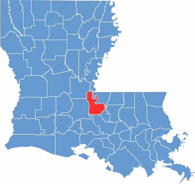
Adjacent Parishes (and Direction)Concordia Parish (North), West Feliciana Parish (Northeast), West Baton Rouge Parish (East), Iberville Parish (South), St. Martin Parish (Southwest), St. Landry Parish (West), Avoyelles Parish (Northwest)
Time ZoneCentral Time Zone (CT)
StateLouisiana
Coordinates30.7079° N, 91.5781° W
Major LandmarksFalse River, Pointe Coupee Parish Courthouse, William H. Sadler House, St. Francis Chapel, New Roads Historic District, LeJeune House, Louisiana 4-H Museum
PopulationApproximately 20,000
Scroll to Top