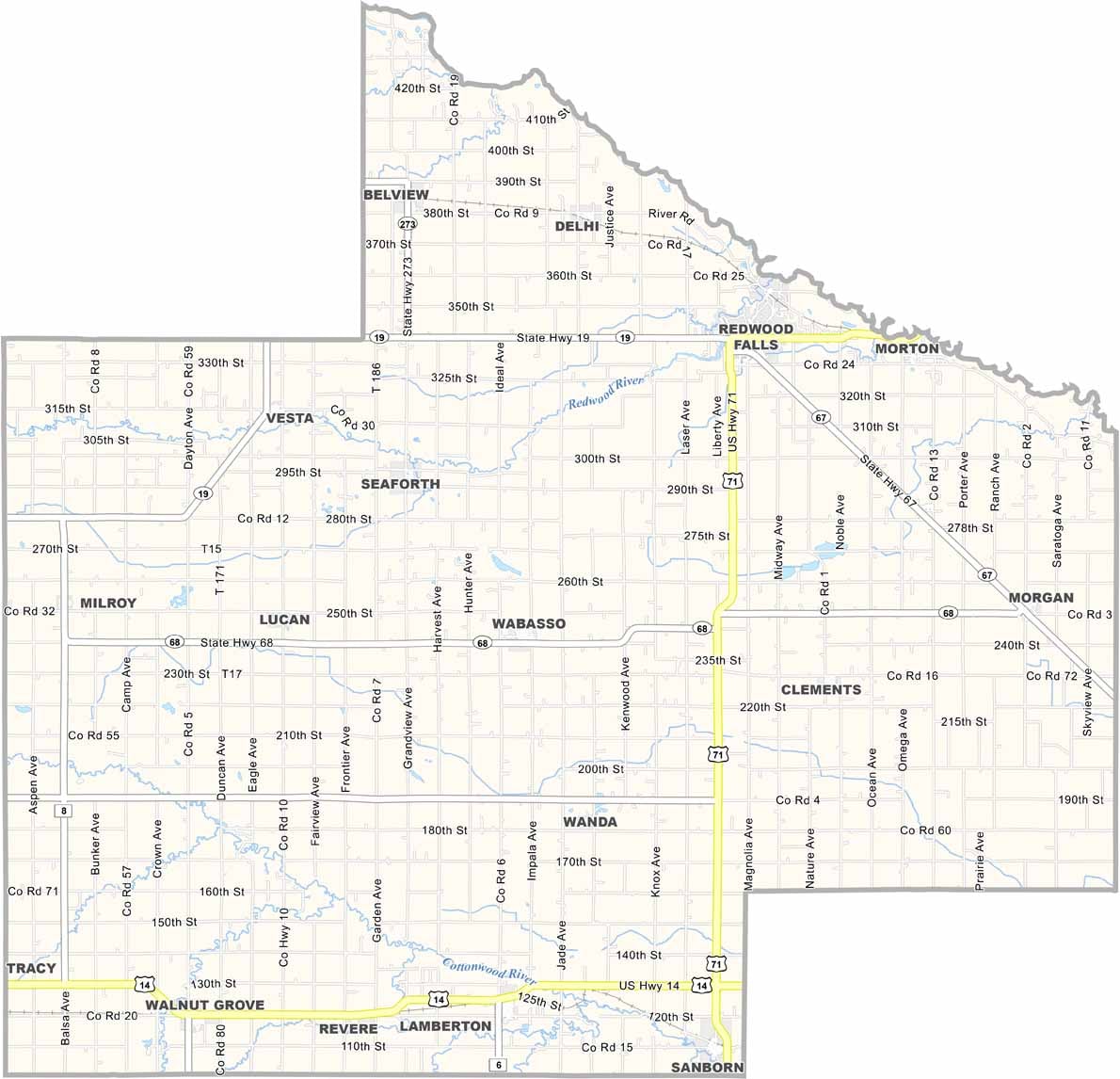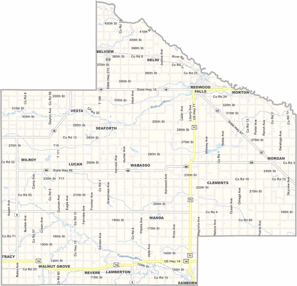
Redwood County Map, Minnesota

Redwood County, Minnesota

Redwood County lies in the southwest part of Minnesota, where the prairies roll on forever. Redwood Falls is the county seat, and it has a waterfall right in town. How cool is that?

The Minnesota River cuts through the county, carving out some seriously pretty landscapes. Agriculture is the backbone of the economy, and you'll see corn and soybeans for days. But it's not all farmland.

The county has some killer parks, like Alexander Ramsey Park, nicknamed the "Little Yellowstone of Minnesota." Redwood County isn't huge, but it's got heart. The people here are genuine, the kind who'll wave as you drive by. And the sunsets? Out of this world.
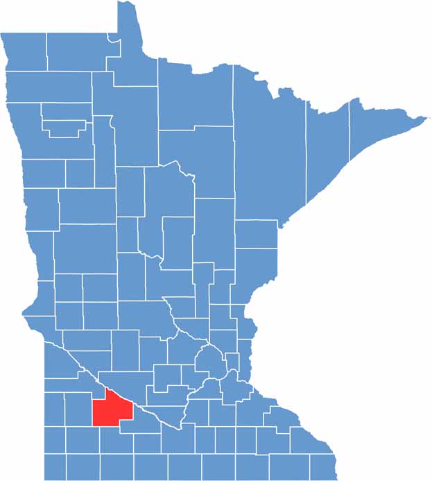

Redwood County location map of Minnesota
CategoryDetails
County NameRedwood County
County SeatRedwood Falls
PopulationApproximately 15,000
Cities, Towns, and CommunitiesRedwood Falls, Morgan, Lamberton, Wabasso, Walnut Grove, Revere, Delhi, Milroy
Interstates and HighwaysUS 71, US 14, MN 19, MN 67
FIPS Code27-127
Total Area (Land and Water)881 square miles (Land: 879 sq mi, Water: 2 sq mi)
Adjacent Counties (and Direction)Renville County (Northeast), Brown County (East), Cottonwood County (South), Murray County (Southwest), Lyon County (West), Yellow Medicine County (Northwest)
Time ZoneCentral Time Zone (CT)
StateMinnesota
Coordinates44.4134° N, 95.1055° W
EtymologyNamed after the abundance of redwood trees in the area
Major LandmarksAlexander Ramsey Park, Lower Sioux Agency Historic Site, Gilfillan Estate, Jackpot Junction Casino
Scroll to Top