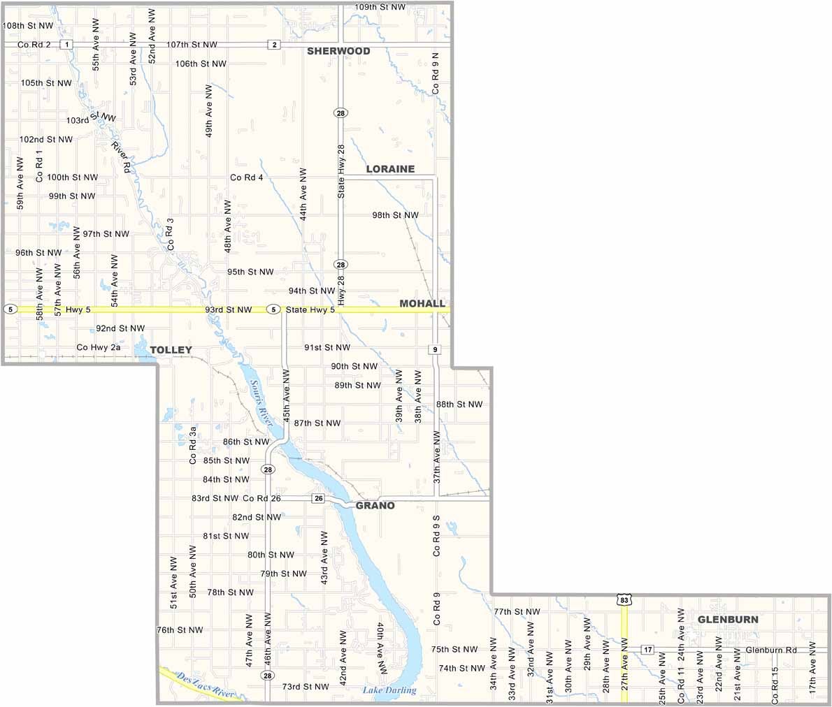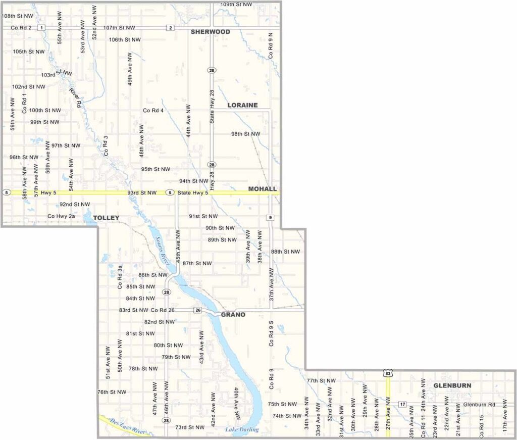
Renville County Map, North Dakota

Renville County, North Dakota

Renville County sits in North Dakota's north-central region, bordering Saskatchewan. It's a small county in terms of population, and Mohall serves as the county seat.

Danish settlers left their mark on the area's culture, and the main natural feature here is the Souris River. Birders flock to the county to spot everything from pelicans to peregrine falcons.

Agriculture is the backbone of the local economy. The county has seen its share of booms and busts, and oil development has brought new opportunities and challenges.
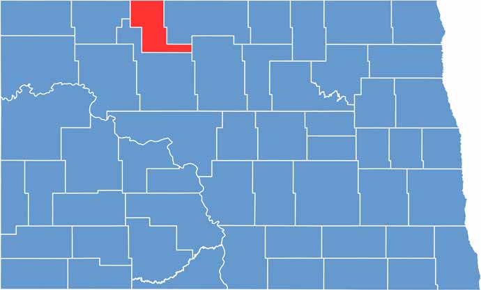
Renville County location map of North Dakota
CategoryDetails
County NameRenville County
County SeatMohall
EtymologyNamed after Joseph Renville, missionary and interpreter for Dakota Native Americans
Cities, Towns, and CommunitiesMohall, Glenburn, Towner, Berthold
Interstates and HighwaysNorth Dakota Highway 52, North Dakota Highway 14
FIPS Code38-075
Total Area1,250 square miles (land and water)
Adjacent CountiesBottineau County (East), McHenry County (Southeast), Ward County (South), Burke County (West)
Time ZoneCentral Time Zone
StateNorth Dakota
Coordinates48.5630° N, 101.3470° W
Major LandmarksRenville County Historical Society, Lake Upsilon
PopulationApproximately 2,500
Scroll to Top