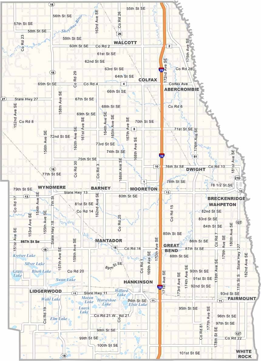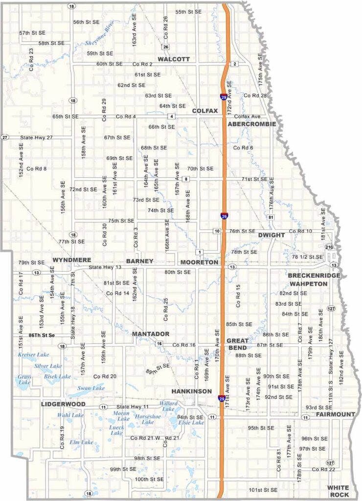
Richland County Map, North Dakota

Richland County, North Dakota

Richland County occupies the southeastern corner of North Dakota. Wahpeton, the county seat, is home to the world's largest catfish. It's true, so go check out the statue.

The county has a diverse economy, with manufacturing and healthcare as growing sectors. People enjoy fishing and boating on Lake Elsie.

Agriculture dominates the landscape, and the rich soil produces bumper crops of corn, soybeans, and sugar beets. The Red River forms the eastern border with Minnesota. The Bagg Bonanza Farm historic site highlights the area's agricultural past.
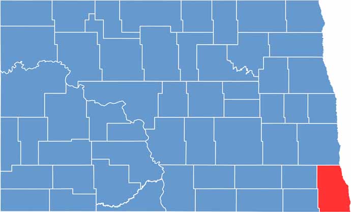
Richland County location map of North Dakota
CategoryDetails
County NameRichland County
County SeatWahpeton
EtymologyNamed after Morgan T. Rich, an early settler to North Dakota
Cities, Towns, and CommunitiesWahpeton, Breckenridge, Colfax, Lidgerwood
Interstates and HighwaysInterstate 29, North Dakota Highway 11
FIPS Code38-077
Total Area1,482 square miles (land and water)
Adjacent CountiesCass County (North), Clay County, Minnesota (Northeast), Wilkin County, Minnesota (East), Traverse County, Minnesota (Southeast), Roberts County, South Dakota (South), Marshall County, South Dakota (Southwest), Sargent County (West), Ransom County (Northwest)
Time ZoneCentral Time Zone
StateNorth Dakota
Coordinates46.2617° N, 96.5873° W
Major LandmarksRichland County Historical Society Museum, Bois de Sioux Golf Course
PopulationApproximately 17,000
Scroll to Top