
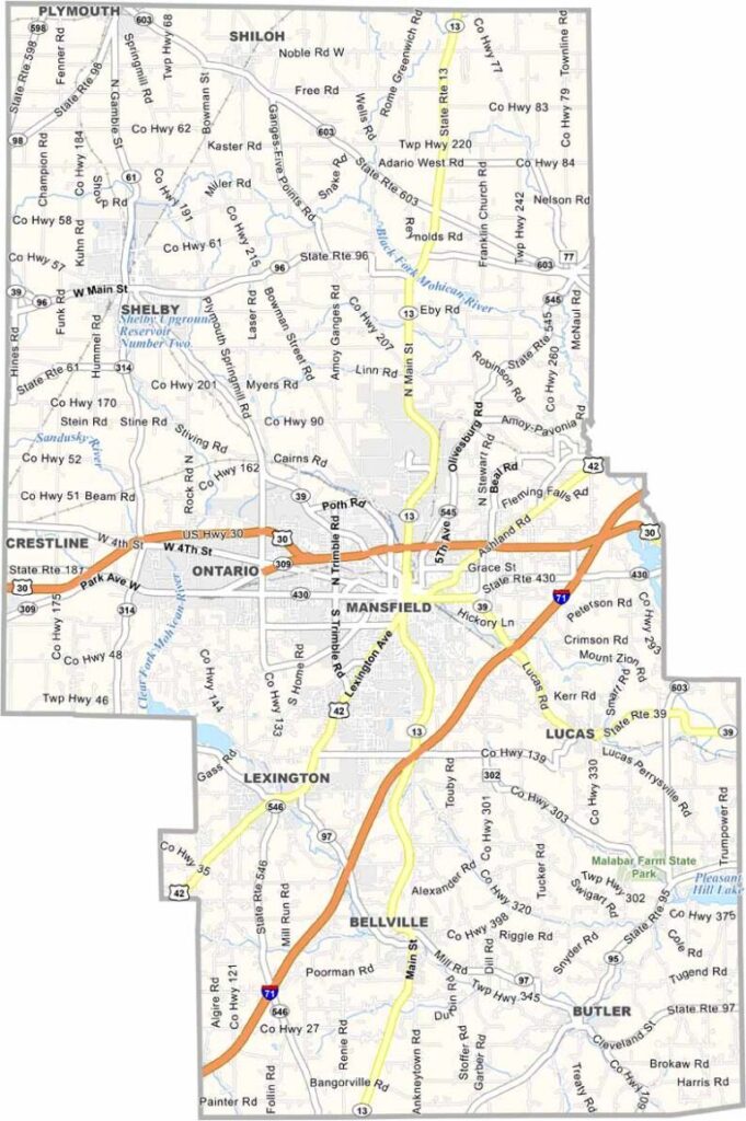
Richland County sits right in the heart of north-central Ohio. Mansfield, the county seat, is known for its haunted prison tours, a popular Halloween attraction. The overnight stays can be quite frightful.
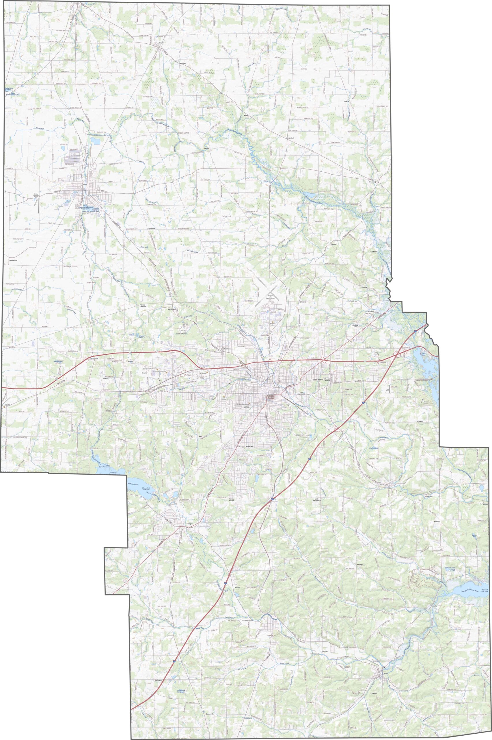
You'll find some beautiful parks here. Malabar Farm State Park is a local treasure in the southeast of the county. It was once owned by Pulitzer Prize-winning author Louis Bromfield.
The county has a diverse economy, with manufacturing, agriculture, and healthcare all playing important roles. The Mid-Ohio Sports Car Course brings in racing fans from all over. Richland County offers a nice mix of urban and rural living, and people here enjoy a good quality of life.
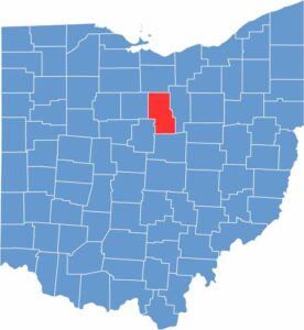
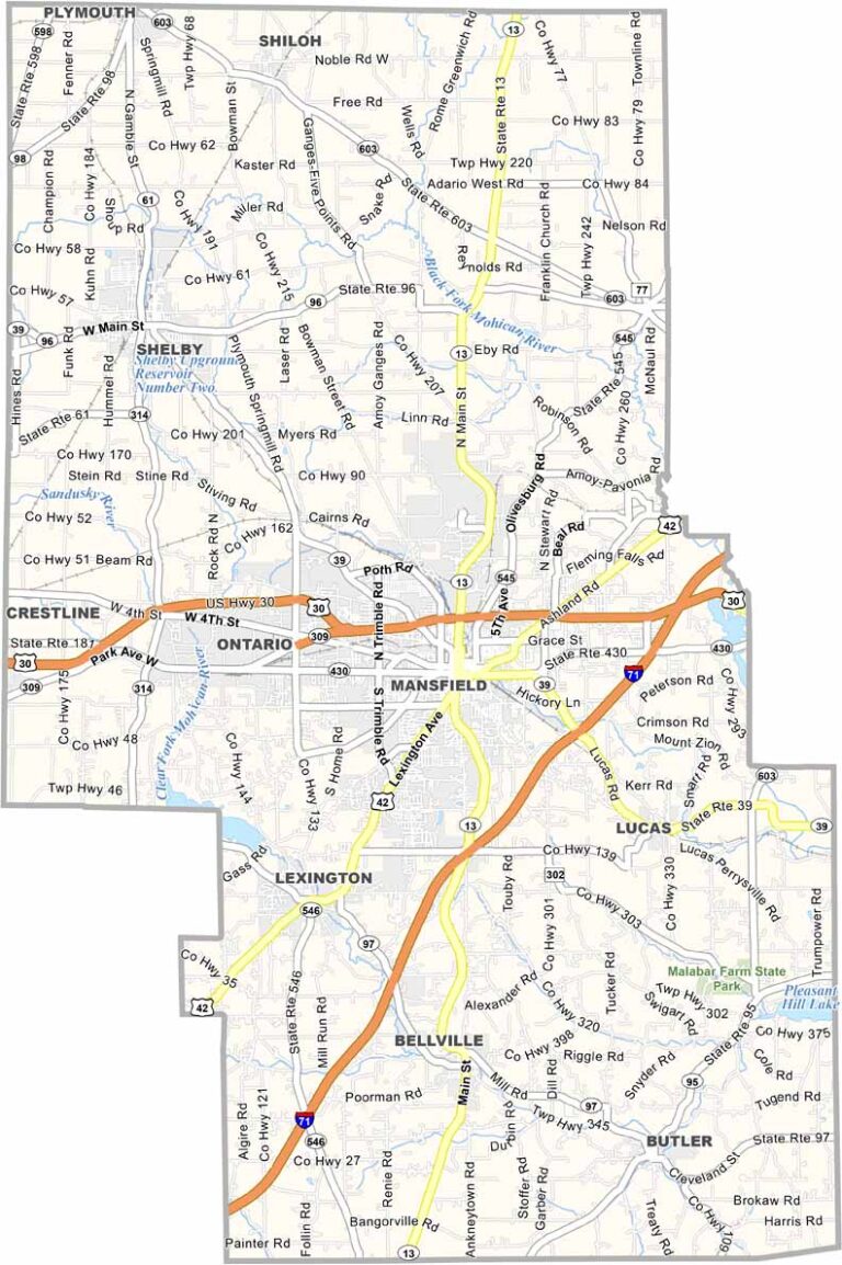
Richland County has a bit of everything. Interstate 71 slices through the county diagonally. U.S. Route 30 and U.S. Route 42 also cut across the heart of the county. You can zoom in on highways here using our zoom tool below.
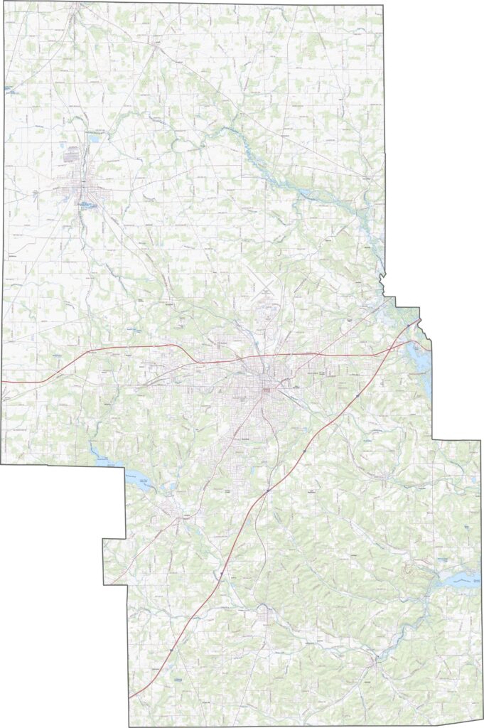
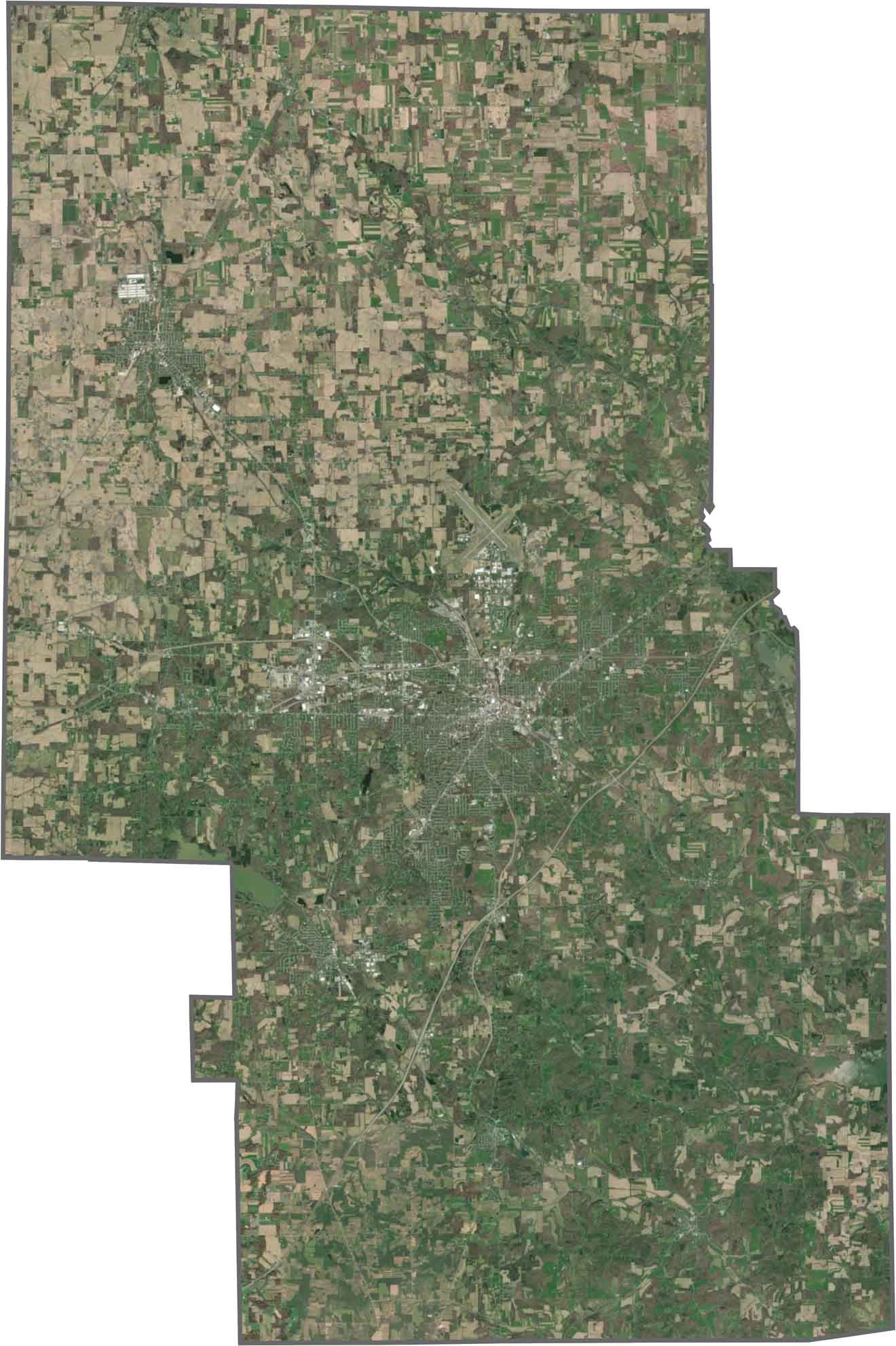
Mansfield fills the center, but there's green in every direction. You'll notice a lot more forested areas in the south compared to the north, which is mostly agriculture. Though urban pockets are easy to spot, the landscape still feels spacious.
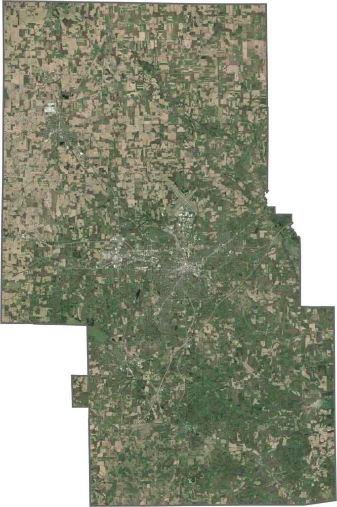
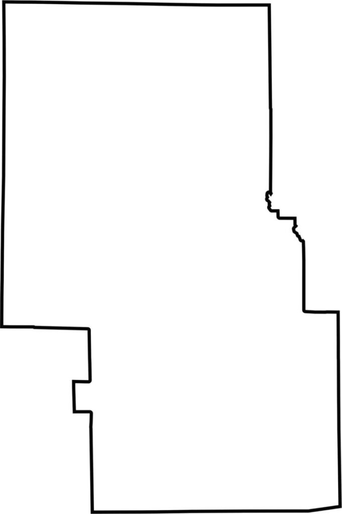
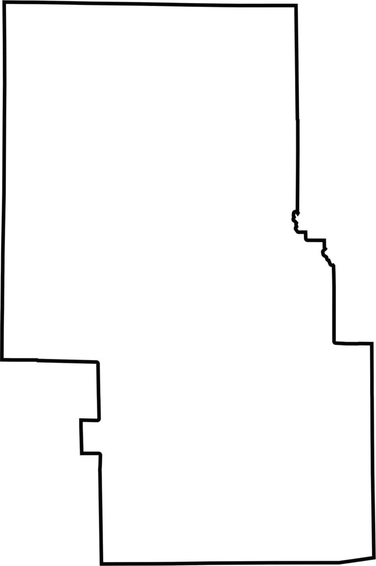
Richland County has a ragged outline. Much of it follows straight lines, except for the southeastern edge, which dips and curves.







Forget the coast. Ohio’s 88 counties are where everyday America comes alive. No pretense, no postcard perfection—just hardworking towns and quiet backroads that grow on you. This is the Midwest without the filter.