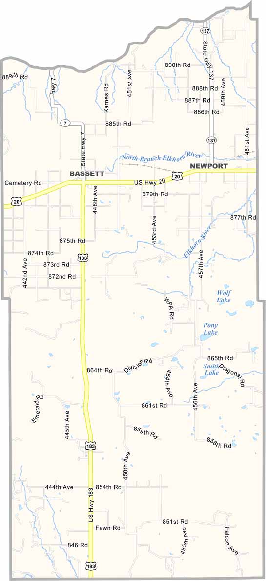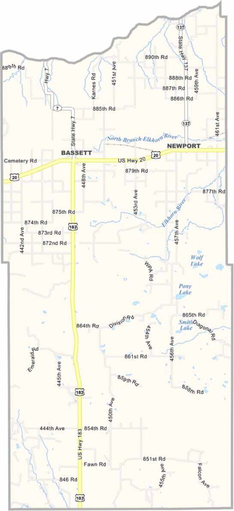
Rock County Map, Nebraska

Rock County, Nebraska

Rock County is located in north-central Nebraska and is part of the Sandhills region. Bassett serves as the county seat and is a small community with fewer than 1,000 residents.

The Niobrara River forms much of the northern border, creating spectacular scenery along the way. Newport and Rose are two other notable communities in the county.

Ranching is the main way of life here, with cattle far outnumbering people. The landscape features rolling hills and open grasslands, creating a beautiful rural setting. In Rock County, community is at the heart of everyday life.
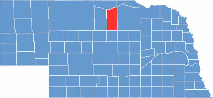

Rock County location map of Nebraska
CategoryDetails
County NameRock County
County SeatBassett
EtymologyNamed after the rocky terrain found in the county
Cities, Towns, and CommunitiesBassett, Newport, Rose
Interstates and HighwaysUS 20, NE 7
FIPS Code31-149
Total Area (Land and Water)1,012 square miles (Land: 1,008 sq mi, Water: 4 sq mi)
Adjacent Counties (and Direction)Keya Paha County (North), Boyd County (Northeast), Holt County (East), Loup County (South), Brown County (West)
Time ZoneCentral Time Zone (CT)
StateNebraska
Coordinates42.4022° N, 99.5630° W
Major LandmarksLong Pine State Recreation Area, Rock County Historical Society Museum
PopulationApproximately 1,300
Scroll to Top