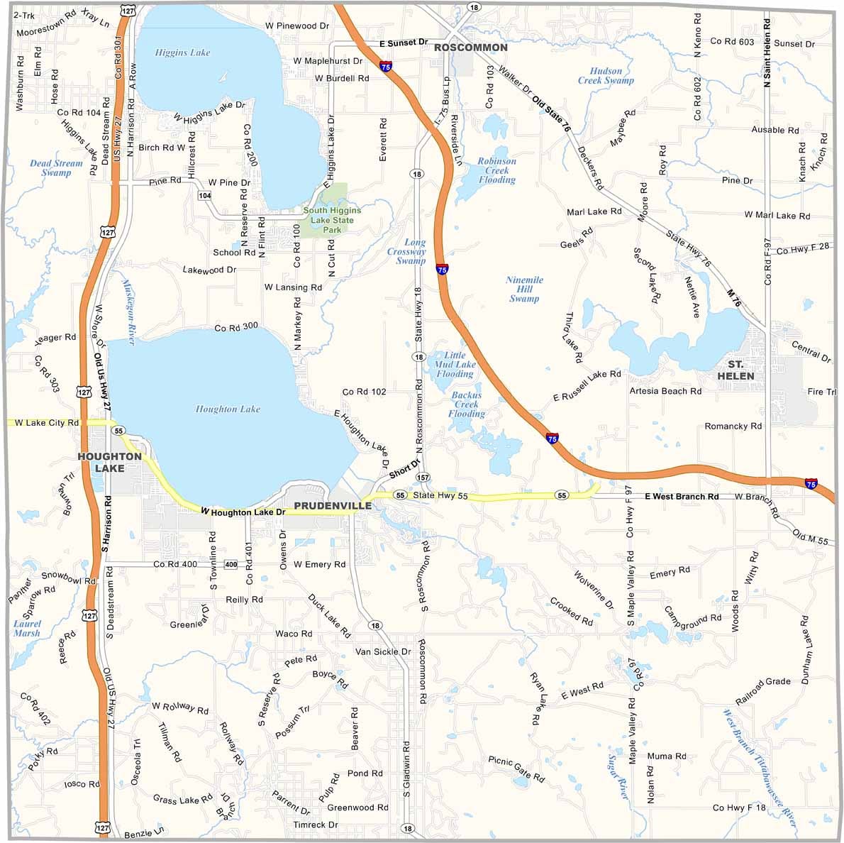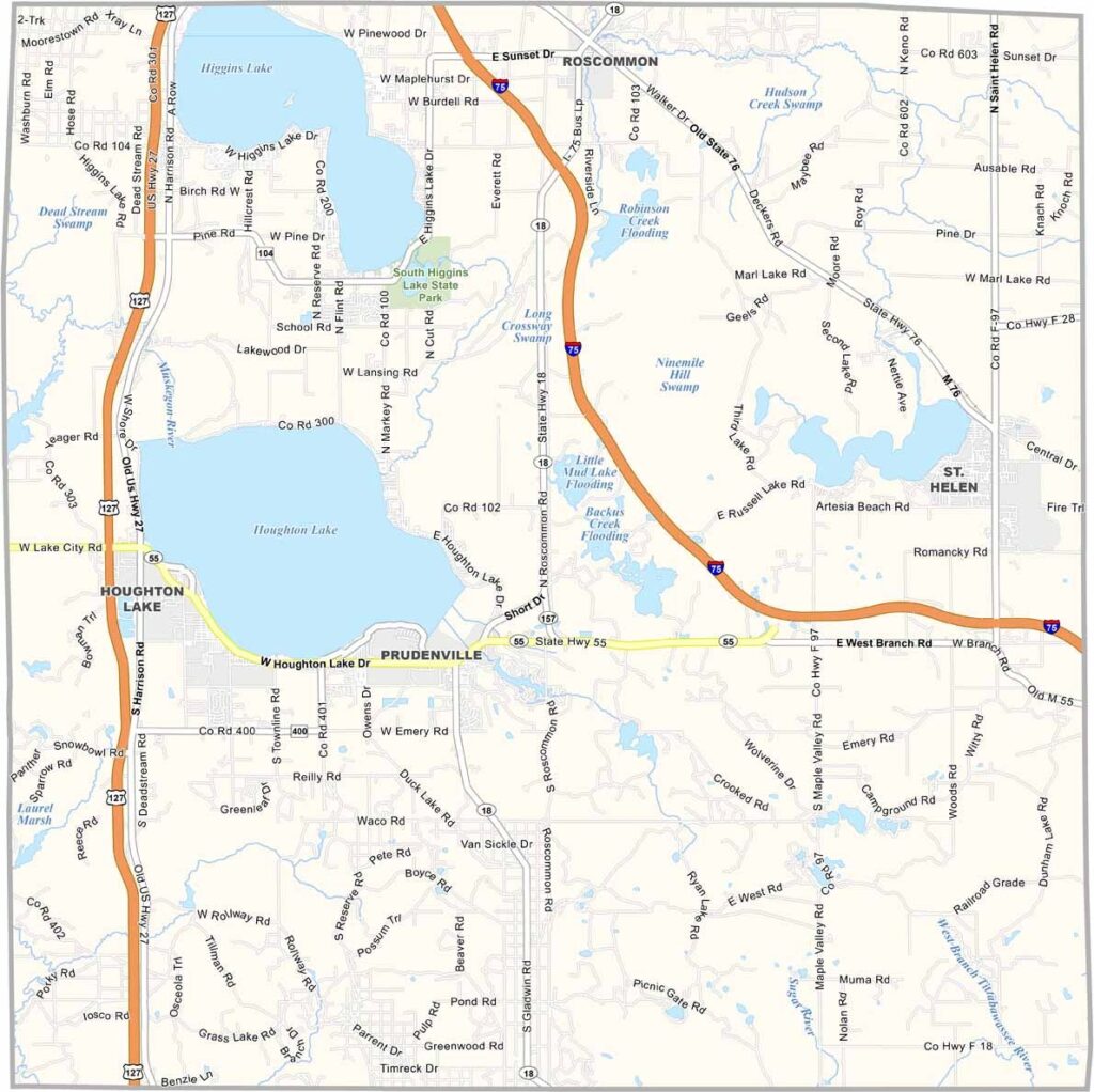
Roscommon County Map, Michigan

Roscommon County, Michigan

In the middle of Michigan’s Lower Peninsula, you’ll find Roscommon County. The Au Sable River and Muskegon River wind through the county from all directions.

Houghton Lake is Michigan’s largest inland lake. Yep, it’s a hotspot for boating, fishing, and kicking back. Wildlife is abundant, so don’t be surprised if you spot a bald eagle or two.

Small towns like Roscommon and St. Helen have that classic up-north charm. In Roscommon County, the fish are always biting, the beer is always cold, and the scenery never gets old. Just watch out for the mosquitoes—they’re big enough to carry off small children.
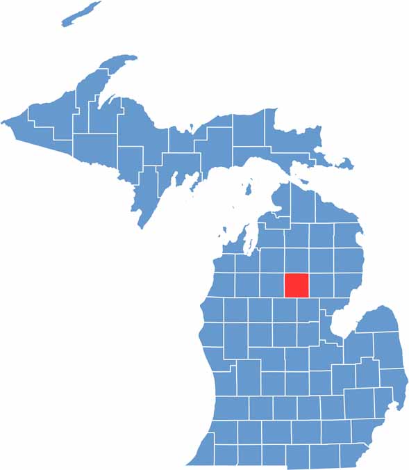

Roscommon County location map of Michigan
CategoryDetails
County NameRoscommon County
County SeatRoscommon
Cities, Towns, and CommunitiesRoscommon, Houghton Lake, St. Helen, Prudenville, Higgins Lake, Lyon Township
Interstates and HighwaysI-75, US 127, M-18, M-55
FIPS Code26-143
Total Area (Land and Water)580 square miles (Land: 518 sq mi, Water: 62 sq mi)
Adjacent Counties (and Direction)Crawford County (North), Oscoda County (Northeast), Ogemaw County (East), Gladwin County (Southeast), Clare County (Southwest), Missaukee County (West), Kalkaska County (Northwest)
Time ZoneEastern Time Zone (ET)
StateMichigan
Coordinates44.3361° N, 84.6115° W
EtymologyNamed after County Roscommon in Ireland
Major LandmarksHiggins Lake State Park, South Higgins Lake State Park, Houghton Lake, Marl Lake
PopulationApproximately 24,000
Scroll to Top