Russell County Map Download Alabama – Outline Map and Blank Map

Russell County Map Download Alabama – Outline Map and Blank Map

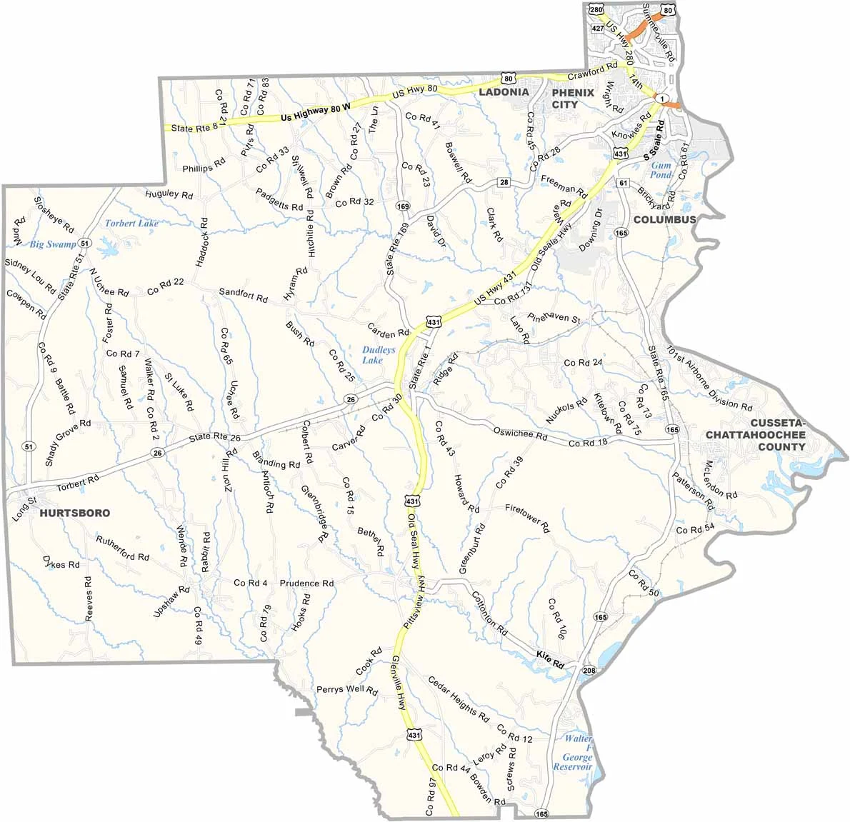
Russell County maps showing boundaries and locations in Alabama.

Russell County, Alabama

Russell County is located along the eastern edge of Alabama, following the Chattahoochee River, with Columbus, Georgia situated directly across the river.

Its county seat, Phenix City, has a notable history. It was once known as the “Sin City” of the South due to its turbulent past, but today it is a much calmer and more stable community.

Major routes such as U.S. Highway 431 and U.S. Highway 80 pass through the county, supporting travel and commerce. The nearby presence of Fort Moore (formerly Fort Benning) also contributes to a strong military influence in the region.
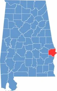

Russell County location map showing its position in Alabama.
Category Details
County Name Russell County
County Seat Phenix City
Cities, Towns, and Communities Phenix City, Hurtsboro, Ladonia, Fort Mitchell, Seale, Pittsview, Cottonton, Uchee
Interstates and Highways U.S. Highway 80, U.S. Highway 280, U.S. Highway 431, State Route 26, State Route 165, State Route 169
Etymology Named after Colonel Gilbert C. Russell, a military officer who served in the Creek War
FIPS Code 01-113
Total Area (Land and Water) 647 square miles (Land: 641 sq mi, Water: 6 sq mi)
Time Zone Central Time Zone (CT)
State Alabama
Coordinates 32.2887° N, 85.1841° W
Major Landmarks Fort Mitchell Historic Site, Phenix City Amphitheater, Russell County Courthouse, Lake Oliver, Chattahoochee Riverwalk
Adjacent Counties (and Direction) Lee County (North), Muscogee County, Georgia (Northeast), Chattahoochee County, Georgia (East), Stewart County, Georgia (Southeast), Barbour County (South), Bullock County (Southwest), Macon County (Northwest)
Population Approximately 61,000
Scroll to Top