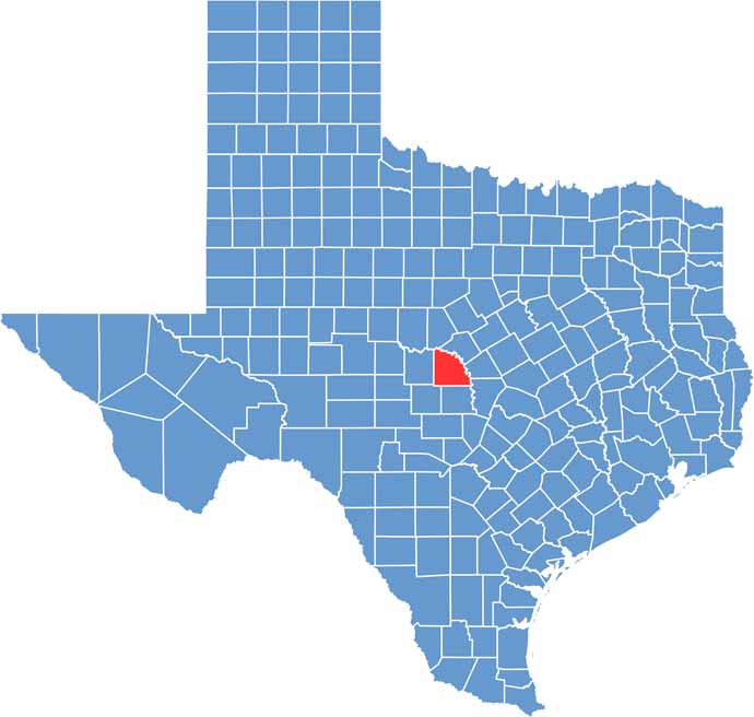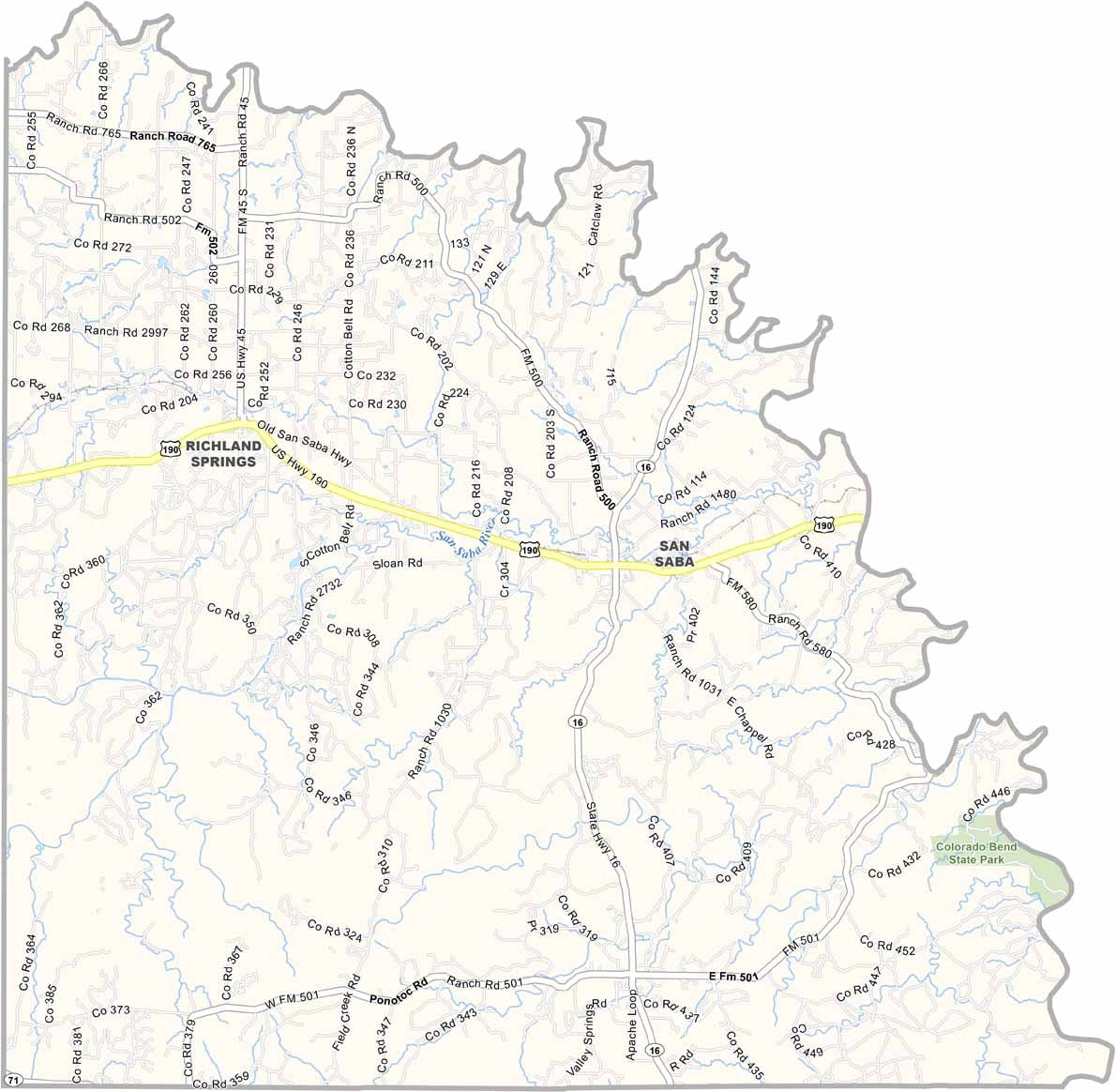
San Saba County lies in Central Texas, where the Hill Country meets the open plains. It proudly carries the nickname “Pecan Capital of the World,” thanks to its long history of pecan growing. The Colorado River forms much of the county’s northern boundary.
San Saba serves as the county seat and is a small community with plenty of local character. Hunting is a major attraction, especially during deer season when visitors arrive from across the region. Colorado Bend State Park is also nearby, offering opportunities for hiking, camping, and exploring the outdoors.
The San Saba River winds through the county and gives the area its name. Ranching remains an important part of life for many residents, while spring brings colorful wildflowers across the countryside. With its wide-open landscapes and deep frontier roots, San Saba County has a timeless Texas feel.