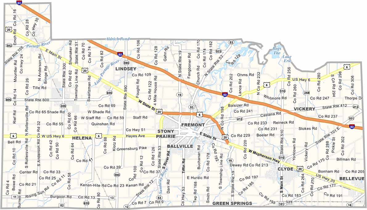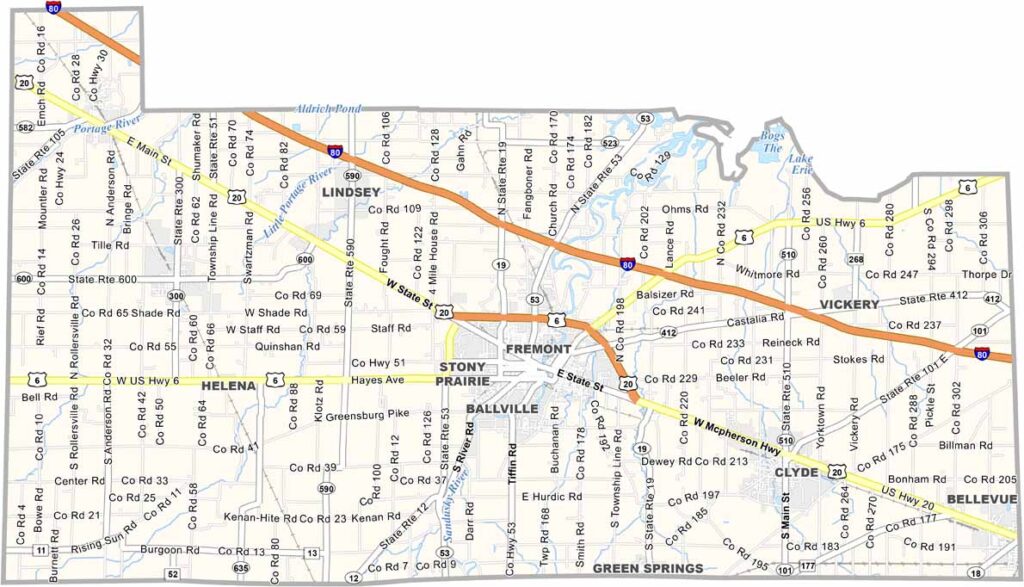
Sandusky County Map, Ohio

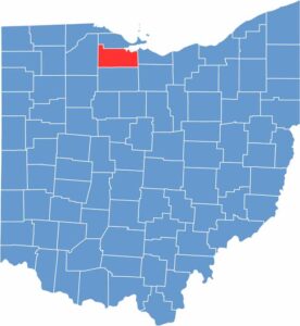
Sandusky County, Ohio

Sandusky County sits in northwest Ohio, with Fremont serving as the county seat. The city is known as the home of Rutherford B. Hayes, the 19th U.S. President, and his presidential library and museum are big attractions.

Running through the county is the Sandusky River, a great spot for fishing. While farming is important here, manufacturing also plays a significant role in the local economy.

In Gibsonburg, Williams Park houses a piece of history. It has a section of the World Trade Center, serving as a moving memorial. Throughout the year, the county fairgrounds host various events, keeping the community spirit alive and thriving.

CategoryDetails
County NameSandusky County
County SeatFremont
EtymologyNamed after an Iroquois word meaning "cold water"
Cities, Towns, and CommunitiesFremont, Bellevue, Gibsonburg, Clyde
Interstates and HighwaysU.S. Highway 20, State Route 53, State Route 19
FIPS Code39-143
Total Area418 square miles (land and water)
Adjacent CountiesOttawa County (North), Erie County (East), Huron County (Southeast), Seneca County (South), Wood County (West)
Time ZoneEastern Time Zone
StateOhio
Coordinates41.3525° N, 83.1294° W
Major LandmarksFremont Speedway, Sandusky County Historical Society Museum
PopulationApproximately 60,000
Scroll to Top