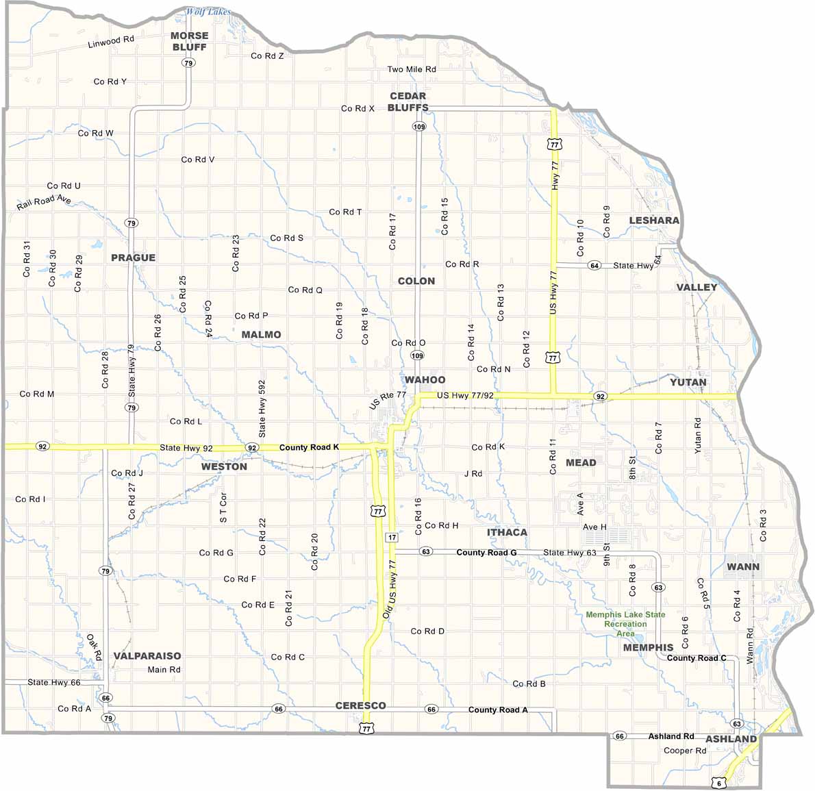
Saunders County Map, Nebraska

Saunders County, Nebraska

Saunders County is located in the heart of eastern Nebraska. Wahoo serves as the county seat. Yep, that really is its name. Three rivers flow through the county: the Platte, Elkhorn, and Wahoo.

The county combines farmland with small towns. Corn and soybeans are the main crops, while cattle farming also plays a role.

The old Saunders County Courthouse is worth seeing. Built in 1904, it is still in use today. People here are friendly in that classic Midwestern way. Another advantage is the county’s location, close enough to Lincoln and Omaha for easy day trips.
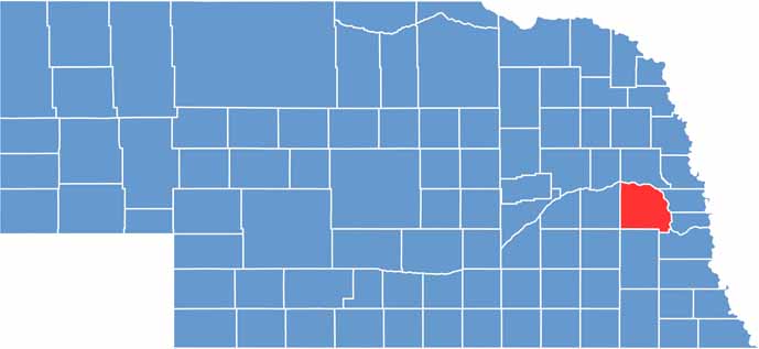

Saunders County location map of Nebraska
CategoryDetails
County NameSaunders County
County SeatWahoo
EtymologyNamed after Alvin Saunders, the last territorial governor of Nebraska
Cities, Towns, and CommunitiesWahoo, Ashland, Yutan, Mead, Cedar Bluffs, Valparaiso, Prague, Weston
Interstates and HighwaysUS 77, US 6, NE 92, NE 79
FIPS Code31-155
Total Area (Land and Water)760 square miles (Land: 750 sq mi, Water: 10 sq mi)
Adjacent Counties (and Direction)Douglas County (East), Sarpy County (East), Cass County (Southeast), Lancaster County (South), Butler County (West), Dodge County (North)
Time ZoneCentral Time Zone (CT)
StateNebraska
Coordinates41.2272° N, 96.6638° W
Major LandmarksMahoney State Park, Saunders County Historical Museum, Ashland Golf Club
PopulationApproximately 22,000
Scroll to Top