
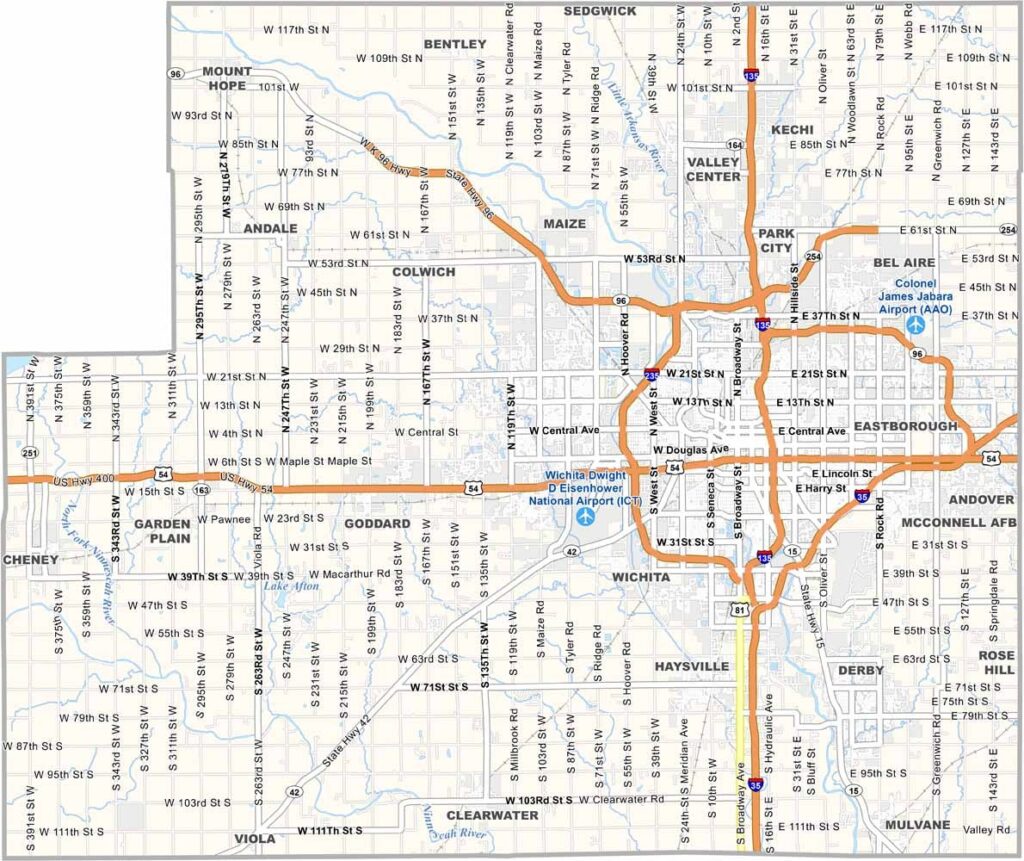
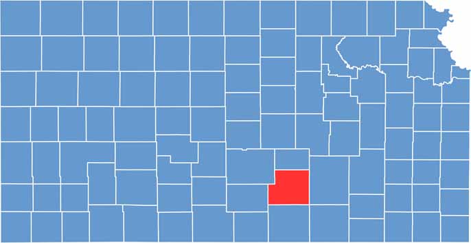
Sedgwick County is the most populous county in Kansas and is home to Wichita, the state’s largest city. Compared with many other parts of Kansas, the county has a distinctly urban atmosphere, with a busy mix of city life, businesses, and communities.
Wichita offers a variety of museums, theaters, and dining options, while the aircraft industry remains a major part of the local economy. The city is especially famous for its strong aviation industry, earning the nickname “Air Capital of the World.”
Despite its urban character, farmland still stretches across the outskirts of Sedgwick County. With a population of more than 525,000 residents, the county naturally offers greater diversity and job opportunities, making it one of the most active and dynamic areas in Kansas.
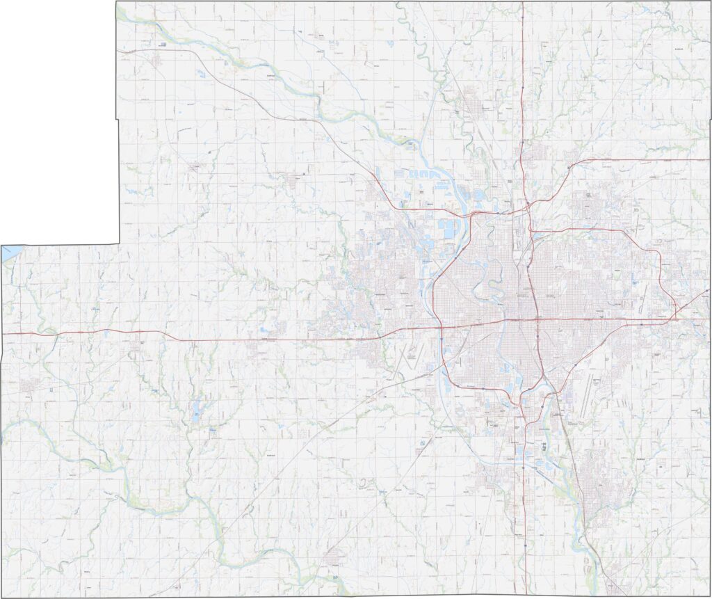
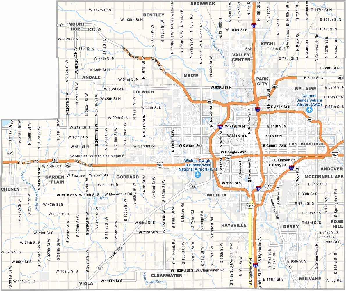
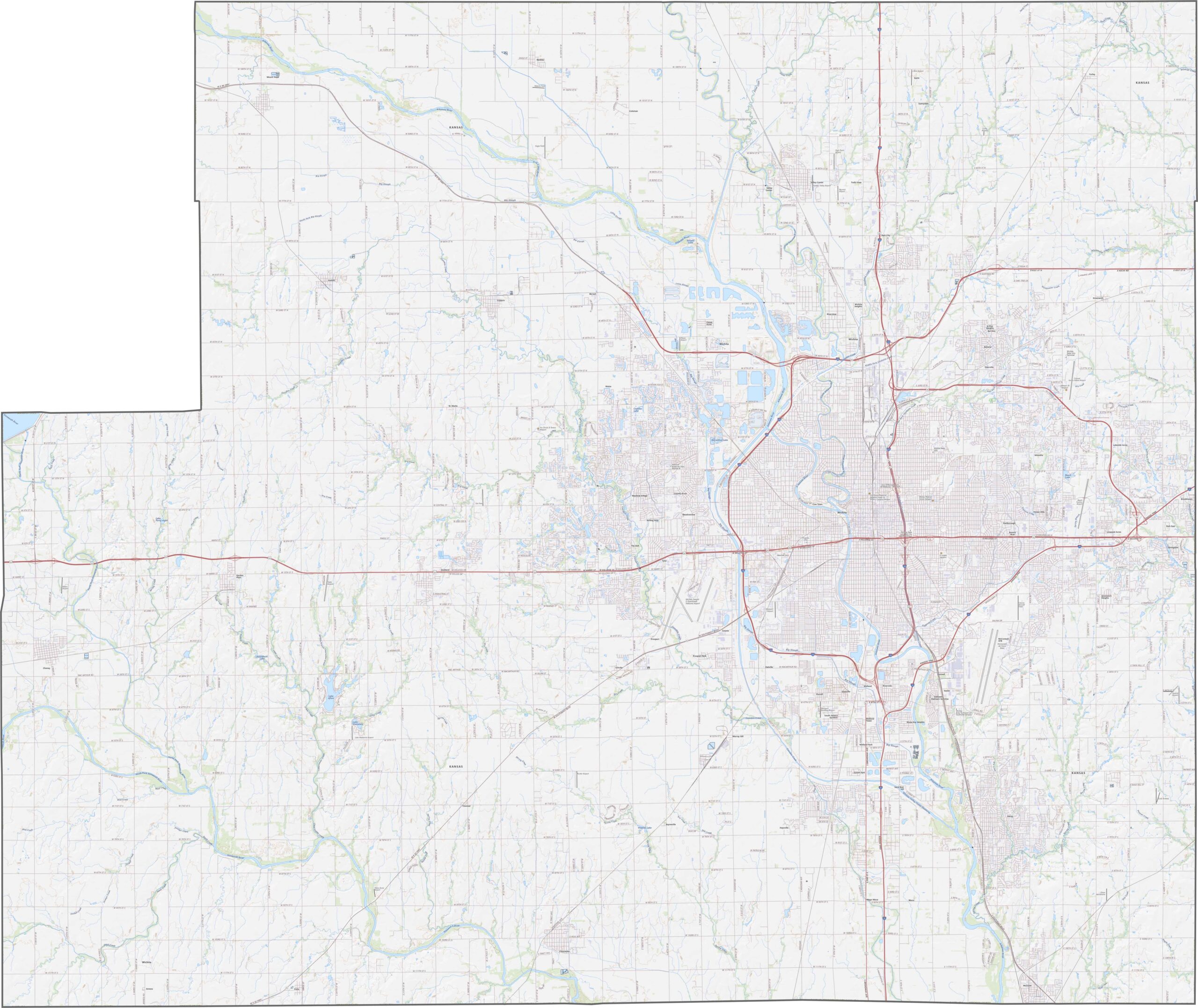
Sedgwick County roads stretch in long, straight lines across the open plains. Despite the flat terrain, overpasses and interchanges help keep traffic flowing smoothly. I-35 and U.S. Highway 54 run through Wichita, connecting the county with major regional routes. Use our zoom tool to explore these routes in greater detail.
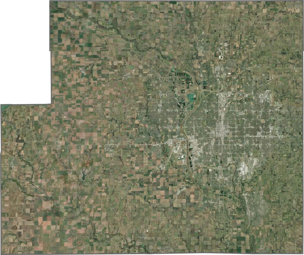
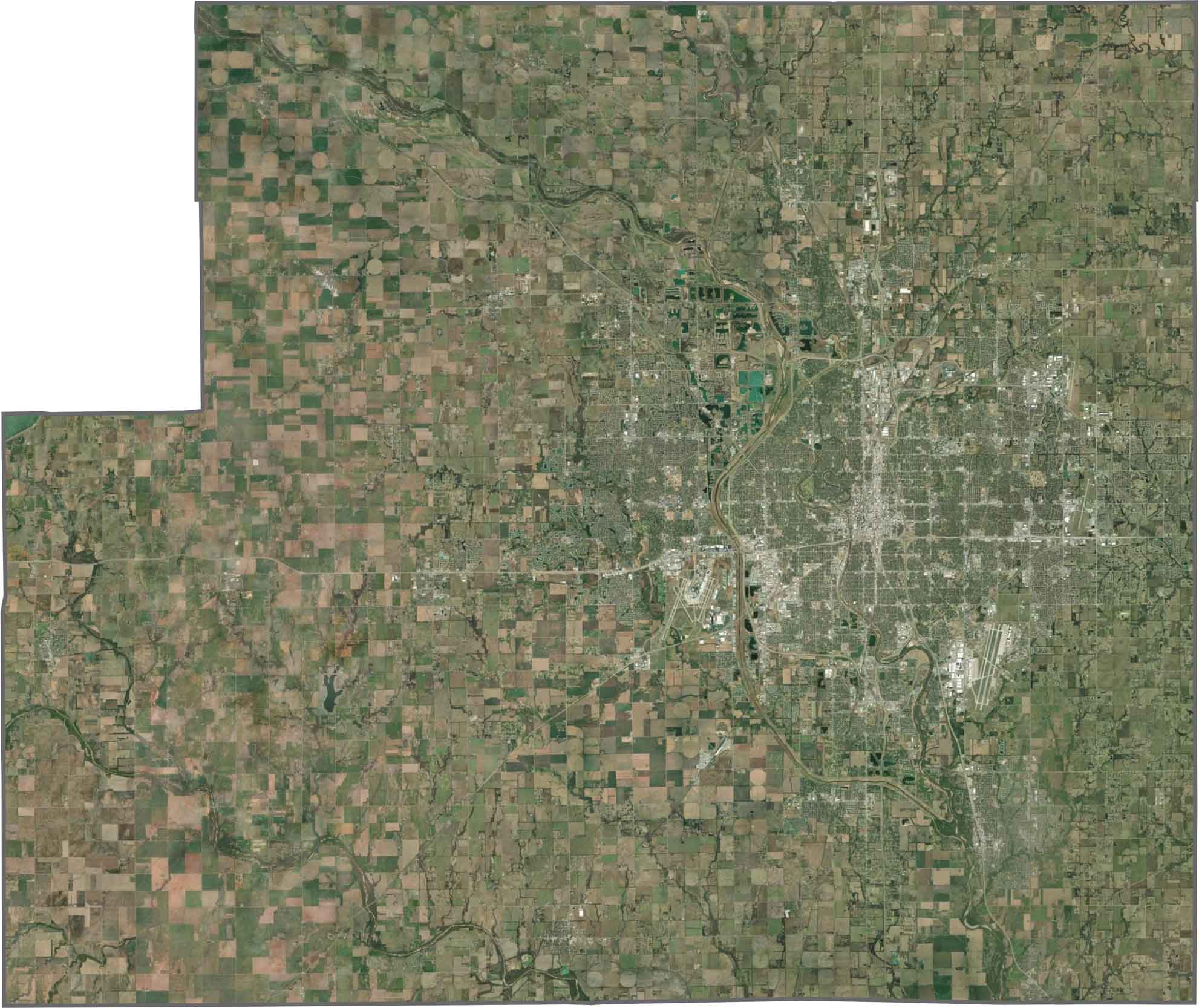
Wichita dominates the eastern part of the view, with its urban street grid spreading outward across the landscape. The Arkansas River winds through the city, while surrounding areas feature neatly arranged farmland in large square fields. Near the airport, industrial zones interrupt the otherwise consistent agricultural pattern.
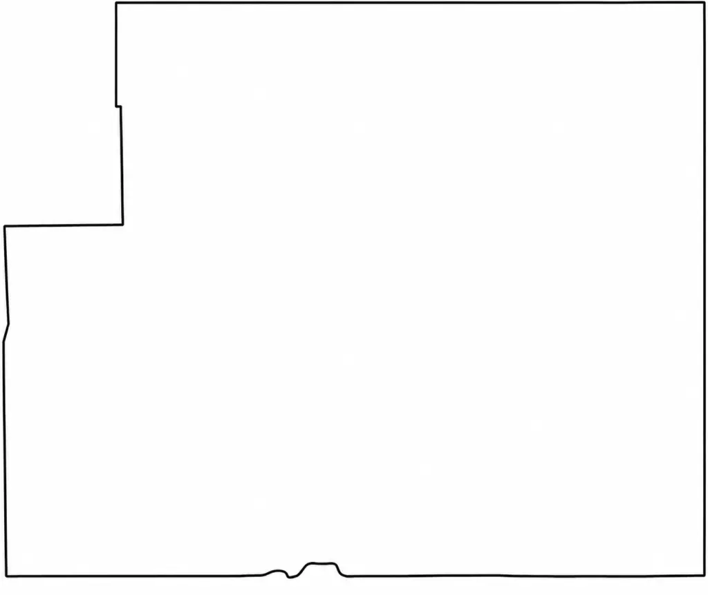
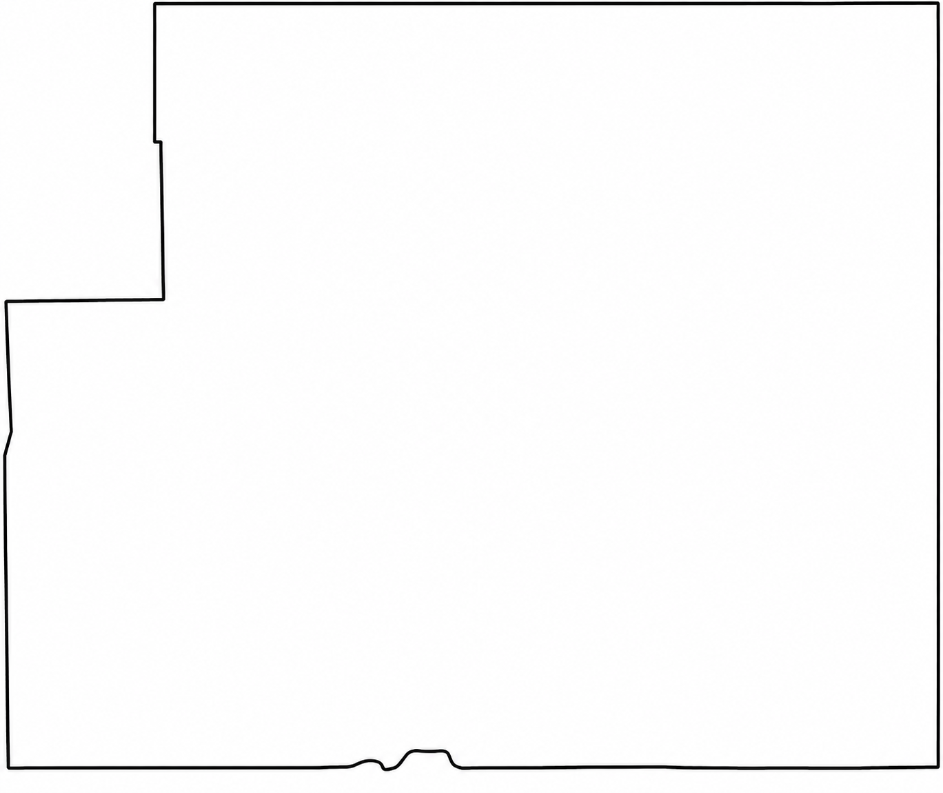
Sedgwick County has a large, nearly perfect rectangular shape. The Kansas River cuts across the northern portion of the county and forms much of its northern boundary.
Flat? Only to the distracted. In Kansas, the horizon isn’t the end—it’s the beginning. Slow down, listen closely, and discover the wide-open landscapes, hidden stories, and quiet charm that make the Sunflower State worth exploring. The middle of everything has plenty of stories to tell.