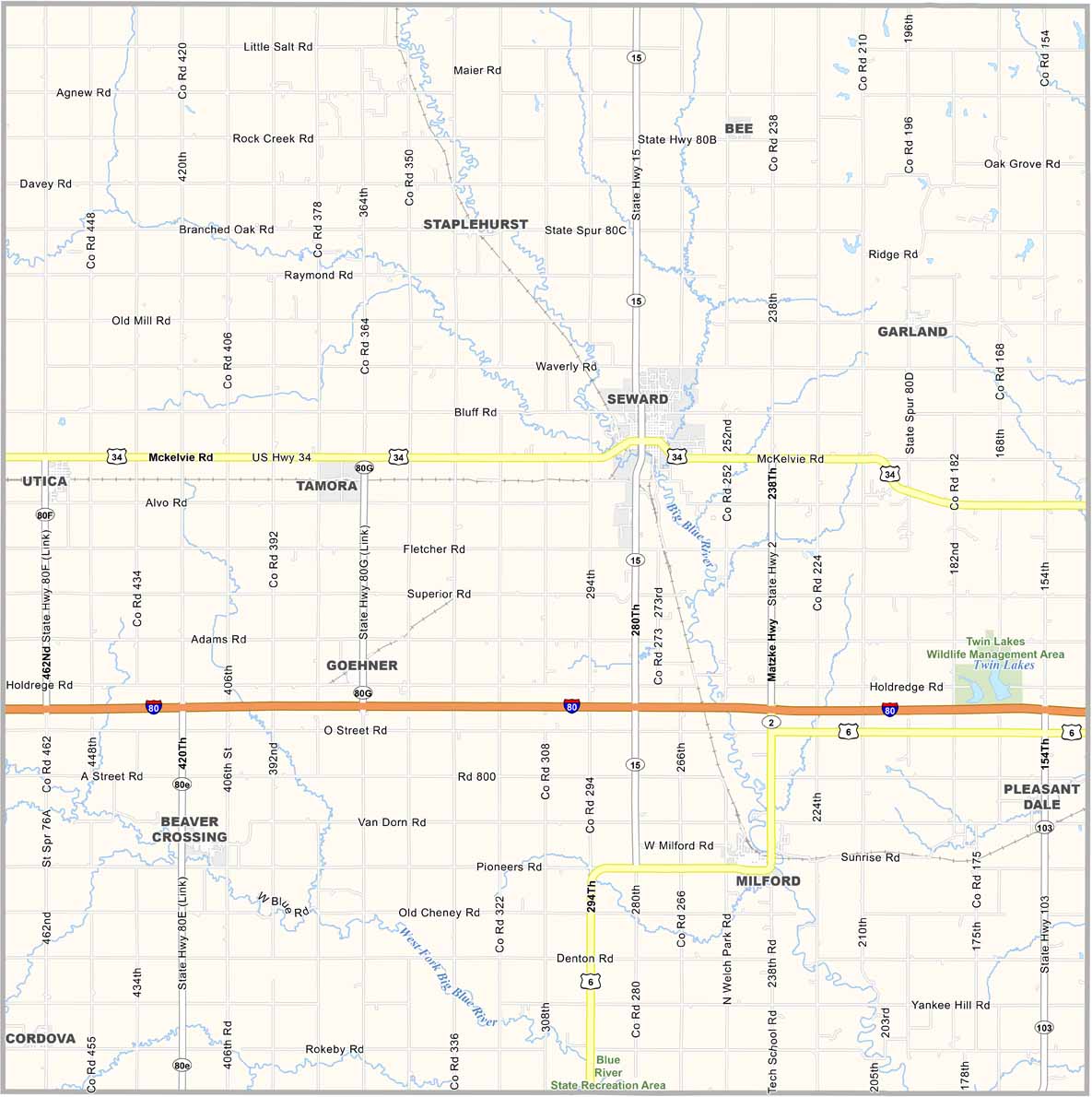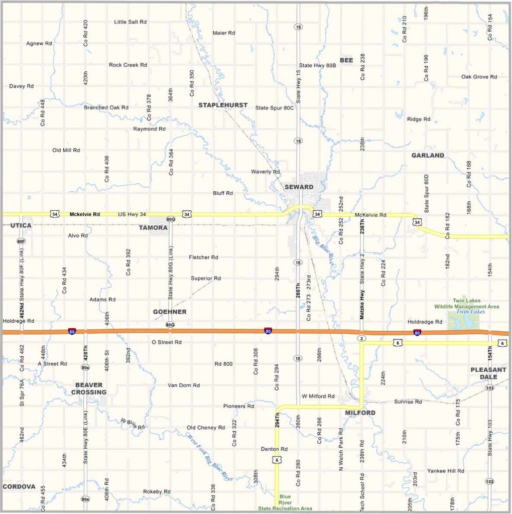
Seward County Map, Nebraska

Seward County, Nebraska

Seward County is located in southeastern Nebraska. Seward serves as the county seat and is known as “Nebraska’s Fourth of July City.” Its Independence Day celebration attracts visitors from all over.

Concordia University is located here, adding a lively atmosphere to the area. The county is mostly farmland, but it also has some industry, creating a more diverse local economy.

The Big Blue River flows through the county, including through Seward, adding scenic views around the county seat. Residents take pride in their history, and the historic courthouse built in 1905 is still standing.
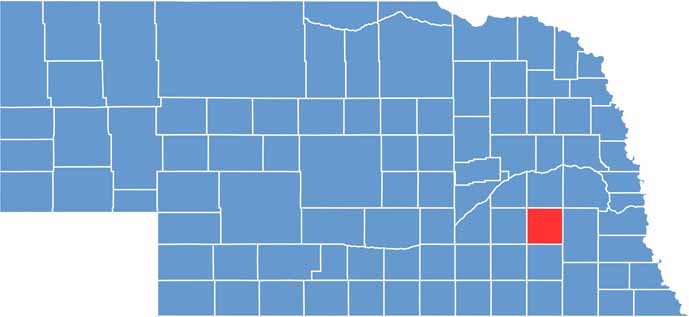

Seward County location map of Nebraska
CategoryDetails
County NameSeward County
County SeatSeward
EtymologyNamed after William H. Seward, a U.S. Secretary of State
Cities, Towns, and CommunitiesSeward, Milford, Utica, Bee, Goehner, Garland, Pleasant Dale, Cordova
Interstates and HighwaysI-80, US 34, NE 15
FIPS Code31-159
Total Area (Land and Water)576 square miles (Land: 574 sq mi, Water: 2 sq mi)
Adjacent Counties (and Direction)Butler County (North), Lancaster County (East), Saline County (South), Fillmore County (Southwest), York County (West), Polk County (Northwest)
Time ZoneCentral Time Zone (CT)
StateNebraska
Coordinates40.9064° N, 97.0988° W
Major LandmarksNebraska National Guard Museum, Seward County Historical Society Museum, Concordia University
PopulationApproximately 18,000
Scroll to Top