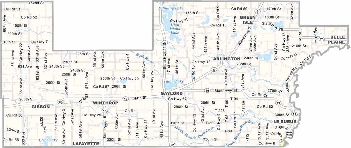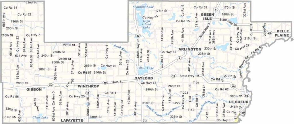
Sibley County Map, Minnesota

Sibley County, Minnesota

Sibley County sits in the south-central part of Minnesota, about an hour's drive southwest of the Twin Cities. It's farm country here, with fields of corn and soybeans stretching in every direction. The Minnesota River forms its southern border.

Gaylord is the county seat, located in the center of the county. Locals take pride in their German heritage, which shows up in the architecture and festivals. You'll find some surprisingly good beer here too.

Wildlife lovers come to Rush River County Park for hiking and birdwatching. It's quiet out here, but that's part of its appeal. Life moves at its own pace in Sibley County.
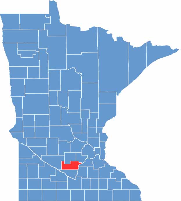

Sibley County location map of Minnesota
CategoryDetails
County NameSibley County
County SeatGaylord
PopulationApproximately 15,000
Cities, Towns, and CommunitiesGaylord, Arlington, Winthrop, Henderson, Gibbon, New Auburn, Green Isle
Interstates and HighwaysUS 169, MN 5, MN 19, MN 22, MN 25
FIPS Code27-143
Total Area (Land and Water)601 square miles (Land: 589 sq mi, Water: 12 sq mi)
Adjacent Counties (and Direction)McLeod County (North), Carver County (Northeast), Scott County (East), Le Sueur County (Southeast), Nicollet County (South), Renville County (West)
Time ZoneCentral Time Zone (CT)
StateMinnesota
Coordinates44.6019° N, 94.2075° W
EtymologyNamed after Henry Hastings Sibley, the first governor of Minnesota
Major LandmarksNey Nature Center, High Island Creek Park, Henderson Heritage & History Center
Scroll to Top