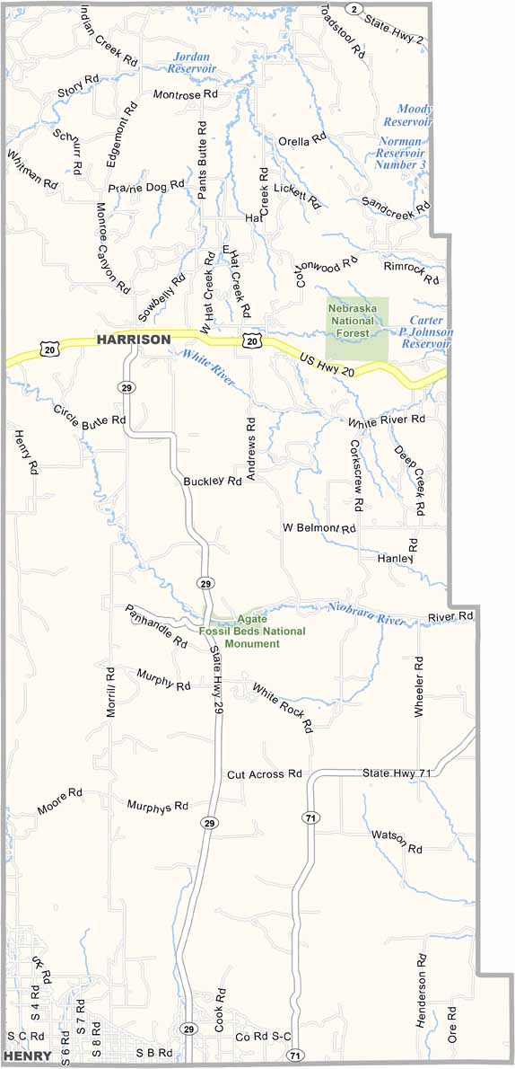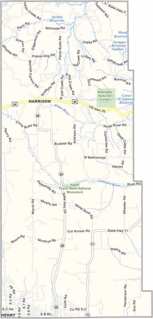
Sioux County Map, Nebraska

Sioux County, Nebraska

Sioux County is located in the far northwestern corner of Nebraska, bordering Wyoming and South Dakota. Harrison serves as the county seat and is a tiny community with fewer than 300 residents.

The entire county has only around 1,200 people, making it one of the least populated counties in Nebraska. Ranching remains the main part of the local economy.

There’s plenty of open space, with a landscape that combines high plains and rugged badlands. It’s a beautiful setting for those who enjoy wide-open country. Agate Fossil Beds National Monument is also located here, making the county an interesting destination for anyone fascinated by prehistoric history.
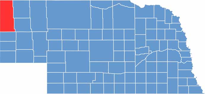

Sioux County location map of Nebraska
CategoryDetails
County NameSioux County
County SeatHarrison
EtymologyNamed after the Sioux Native American tribe
Cities, Towns, and CommunitiesHarrison, Agate, Andrews, Glen, Montrose
Interstates and HighwaysU.S. Highway 20, Nebraska Highway 29
FIPS Code31-165
Total Area (Land and Water)2,067 square miles (2,067 sq mi land, 0 sq mi water)
Adjacent Counties (and Direction)Fall River County, South Dakota (North), Dawes County (Northeast), Box Butte County (Southeast), Scotts Bluff County (South), Goshen County, Wyoming (Southwest), Niobrara County, Wyoming (Northwest)
Time ZoneMountain Time Zone (MT)
StateNebraska
Coordinates42.4682° N, 103.7281° W
Major LandmarksAgate Fossil Beds National Monument, Hudson-Meng Bison Bonebed
PopulationApproximately 1,200
Scroll to Top