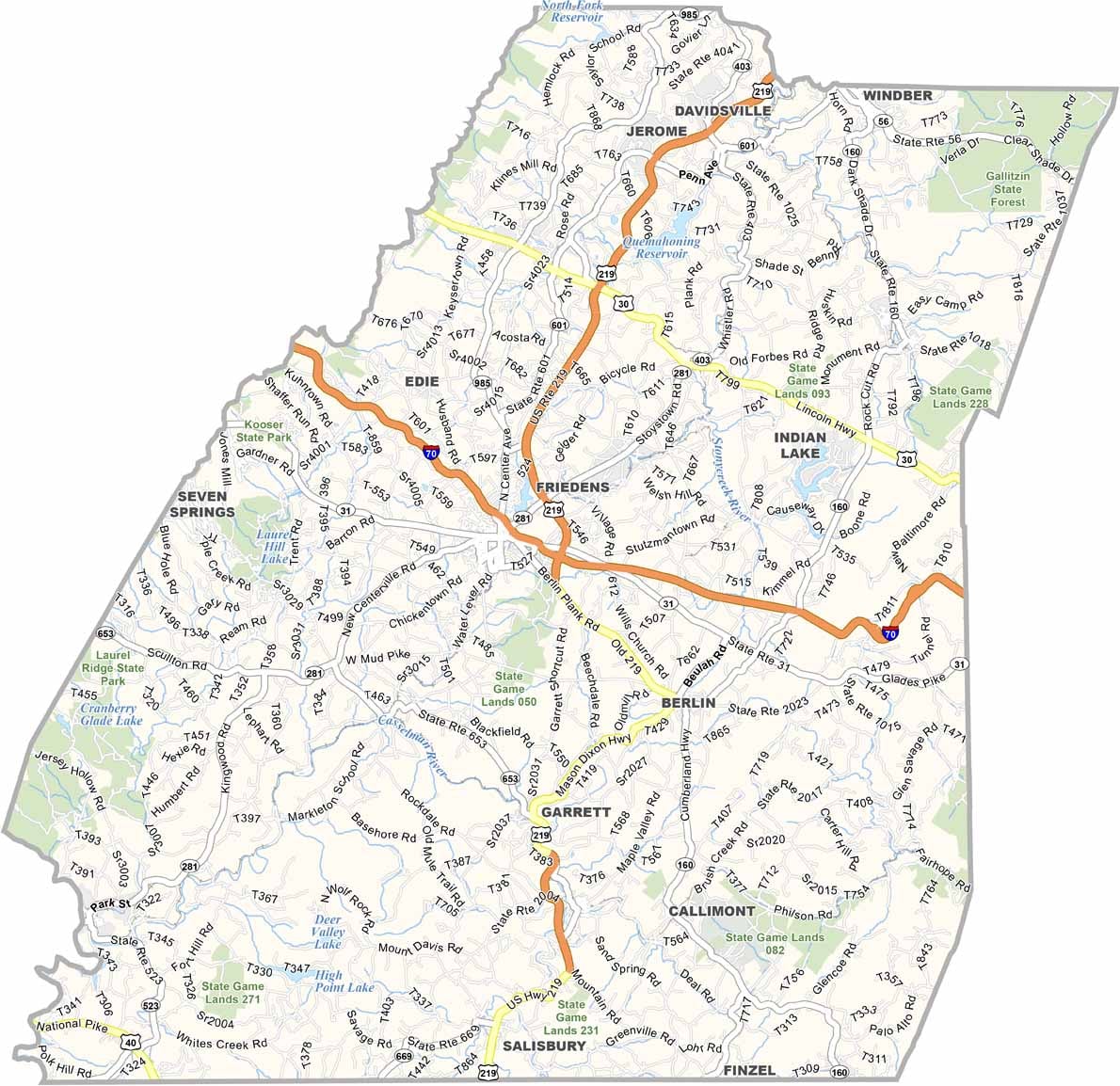
Somerset County Map, Pennsylvania

Somerset County, Pennsylvania

Somerset County lies in southwestern Pennsylvania, along the Maryland border. The Flight 93 National Memorial is located here, and the county has a wealth of history to match.

The Allegheny Mountains run through the county and offer some spectacular views. Locals enjoy plenty of hiking and fishing, and although winters can be rough, that means great skiing at Seven Springs.

Small towns and rural areas make up the county, and farming is still big. Don't miss the Pennsylvania Maple Festival each spring in Meyersdale. Somerset County has character, plain and simple.
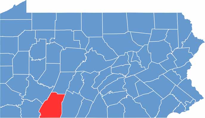

Location map of Somerset County, Pennsylvania
CategoryDetails
County NameSomerset County
County SeatSomerset
EtymologyNamed after Somerset, England
Cities, Towns, and CommunitiesSomerset, Windber, Meyersdale, Berlin, Confluence, Rockwood
Interstates and HighwaysInterstate 70, Interstate 76 (Pennsylvania Turnpike), U.S. Highway 30, U.S. Highway 219
FIPS Code42-111
Total Area (Land and Water)1,081 square miles (1,074 sq mi land, 7 sq mi water)
Adjacent Counties (and Direction)Cambria County (North), Bedford County (East), Allegany County, Maryland (Southeast), Garrett County, Maryland (Southwest), Fayette County (West), Westmoreland County (Northwest)
Time ZoneEastern Time Zone (EST)
StatePennsylvania
Coordinates39°59’N, 79°02’W
Major LandmarksFlight 93 National Memorial, Laurel Hill State Park, Seven Springs Mountain Resort
PopulationApproximately 72,000
Scroll to Top