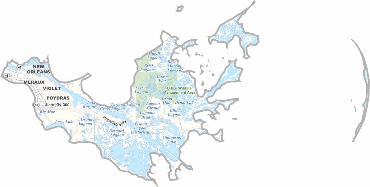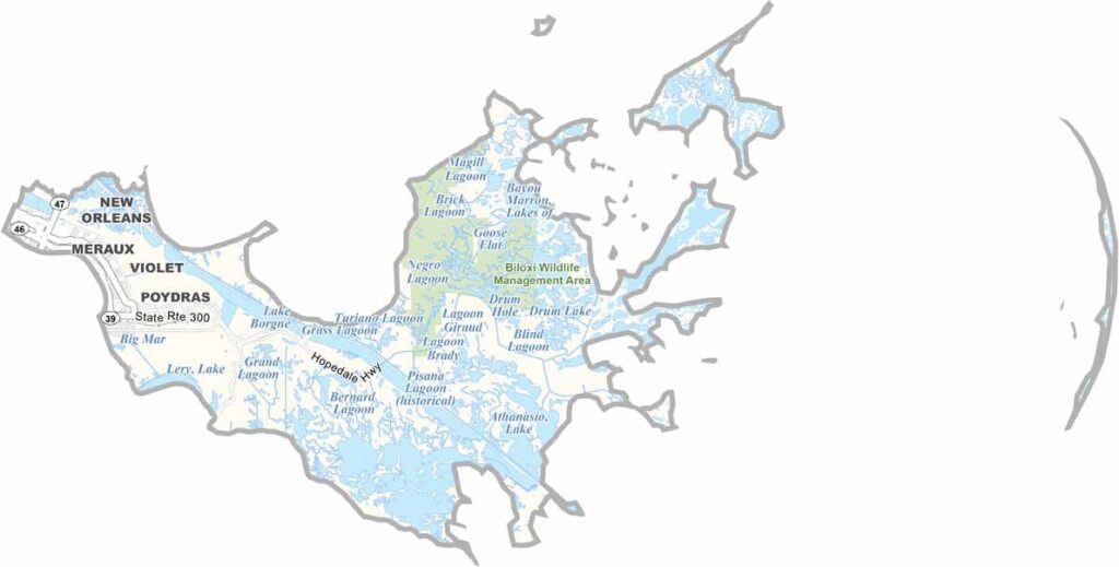
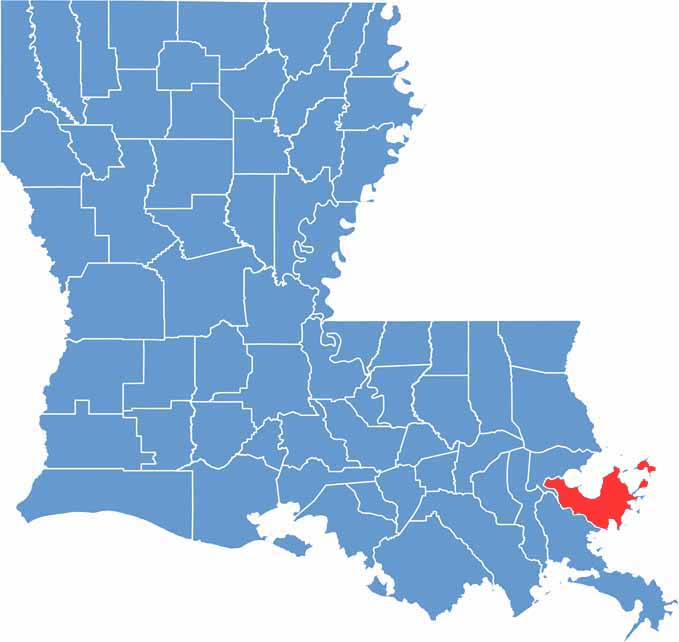
St. Bernard Parish, Louisiana

St. Bernard Parish lies just southeast of New Orleans, stretching along the Mississippi River as it winds toward the Gulf of Mexico. The parish was devastated by Hurricane Katrina in 2005, but its communities have worked hard to rebuild and recover in the years since.

Known for excellent catfishing, St. Bernard’s wetlands are rich in wildlife, including alligators, herons, and other native species. The local food scene is another highlight, with favorites such as char-grilled oysters and authentic po’boys reflecting the parish’s strong Louisiana culinary traditions.

St. Bernard Parish has a deep sense of history, community, and resilience, along with a distinctive natural landscape shaped by rivers, wetlands, and coastal waterways. Though relatively small, the parish has a strong local identity and plenty of character.

CategoryDetails
Parish NameSt. Bernard Parish
Parish SeatChalmette
EtymologyNamed after Saint Bernard, the patron saint of Spanish Governor Bernardo de Gálvez, who helped settlers in the area
Cities, Towns, and CommunitiesChalmette, Arabi, Meraux, Violet, Poydras, St. Bernard, Ycloskey, Delacroix, Hopedale
Interstates and HighwaysLA-39, LA-46, LA-47
FIPS Code22-087
Total Area (Land and Water)2,158 square miles (378 sq mi land, 1,780 sq mi water)
Adjacent Parishes (and Direction)Hancock County, Mississippi (North), Harrison County, Mississippi (Northeast), Orleans Parish (Northwest), Plaquemines Parish (South), St. Tammany Parish (Northwest)
Time ZoneCentral Time Zone (CT)
StateLouisiana
Coordinates29.8786° N, 89.3513° W
Major LandmarksChalmette Battlefield and National Cemetery, Los Islenos Museum and Village, St. Bernard State Park, Fort Proctor, Bayou Road, Shell Beach
PopulationApproximately 46,000
Scroll to Top