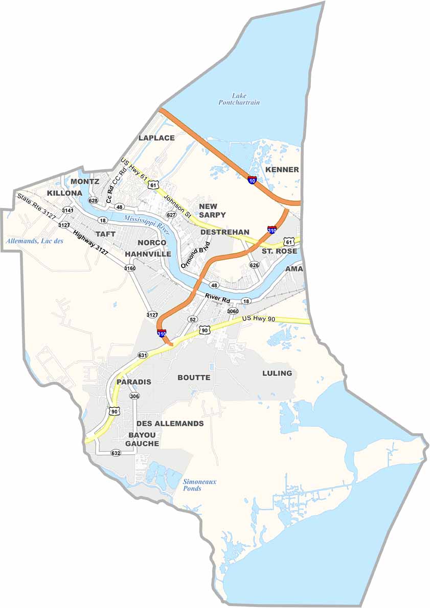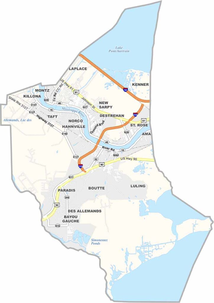
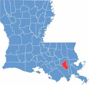
St. Charles Parish, Louisiana

St. Charles Parish sits along the Mississippi River, about 20 miles west of New Orleans. It’s a place where history and industry come together, with antebellum homes standing alongside massive oil refineries.

The parish is known for its swamps and bayous, and kids enjoy splashing in the river on hot summer days. Lake Pontchartrain lies to the north, while Lake Salvador is located to the south.

The Bonnet Carré Spillway offers a unique spot for bird watching and fishing when it isn’t being used to divert floodwaters. You’ll mostly find a mix of small-town charm and suburban convenience.

CategoryDetails
Parish NameSt. Charles Parish
Parish SeatHahnville
EtymologyNamed after Saint Charles
Cities, Towns, and CommunitiesDestrehan, Luling, Hahnville, Norco, St. Rose, Boutte, Paradis, Ama, Killona
Interstates and HighwaysI-10, I-310, US-61, US-90, LA-18
FIPS Code22-089
Total Area (Land and Water)411 square miles (279 sq mi land, 132 sq mi water)
Adjacent Parishes (and Direction)Jefferson Parish (East), Lafourche Parish (Southwest), St. John the Baptist Parish (Northwest)
Time ZoneCentral Time Zone (CT)
StateLouisiana
Coordinates29.9275° N, 90.3414° W
Major LandmarksDestrehan Plantation, Ormond Plantation, Bonnet Carré Spillway, St. Charles Parish Courthouse, Wetland Watchers Park
PopulationApproximately 54,000
Scroll to Top