St. Clair County Map Download Alabama – Outline Map and Blank Map

St. Clair County Map Download Alabama – Outline Map and Blank Map

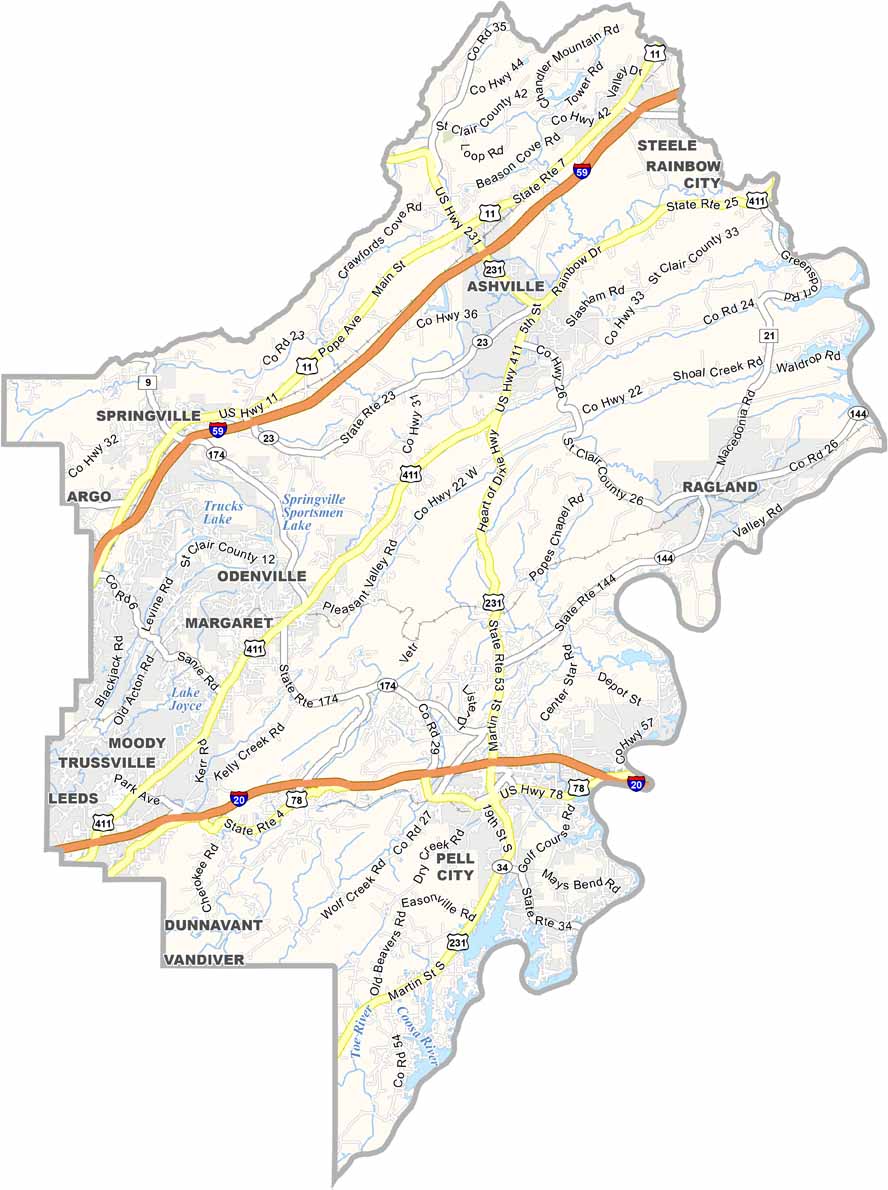
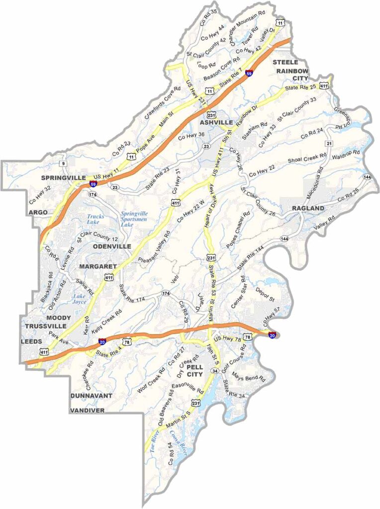
St. Clair County maps showing boundaries and locations in Alabama.

St. Clair County, Alabama

St. Clair County is located just northeast of Birmingham and is one of the fastest-growing areas in the region. It has two county seats, Ashville and Pell City.

With a population of around 96,000, the county sits on the outskirts of the Birmingham metro area. Major highways including Interstate 20, Interstate 59, and U.S. Highway 231 provide easy connections to both Birmingham and Atlanta.

Logan Martin Lake, part of the Coosa River system, plays a central role in local recreation and lifestyle. Nearby, just outside the county near Talladega Superspeedway, is the International Motorsports Hall of Fame.
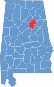

St. Clair County location map showing its position in Alabama.
Category Details
County Name St. Clair County
County Seat Ashville and Pell City (dual seats)
Cities, Towns, and Communities Pell City, Ashville, Moody, Springville, Odenville, Ragland, Riverside, Steele, Margaret, Argo, Wattsville, Branchville
Interstates and Highways Interstate 20, U.S. Highway 231, U.S. Highway 411, State Route 23, State Route 34, State Route 144
Etymology Named after General Arthur St. Clair, the first governor of the Northwest Territory
FIPS Code 01-115
Total Area (Land and Water) 654 square miles (Land: 634 sq mi, Water: 20 sq mi)
Time Zone Central Time Zone (CT)
State Alabama
Coordinates 33.7280° N, 86.3275° W
Major Landmarks Logan Martin Lake, Neely Henry Lake, Horse Pens 40, Lakeside Park, Pell City Civic Center, Ashville Courthouse Square Historic District
Adjacent Counties (and Direction) Etowah County (Northeast), Calhoun County (East), Talladega County (Southeast), Shelby County (Southwest), Jefferson County (West), Blount County (Northwest)
Population Approximately 96,000
Scroll to Top