
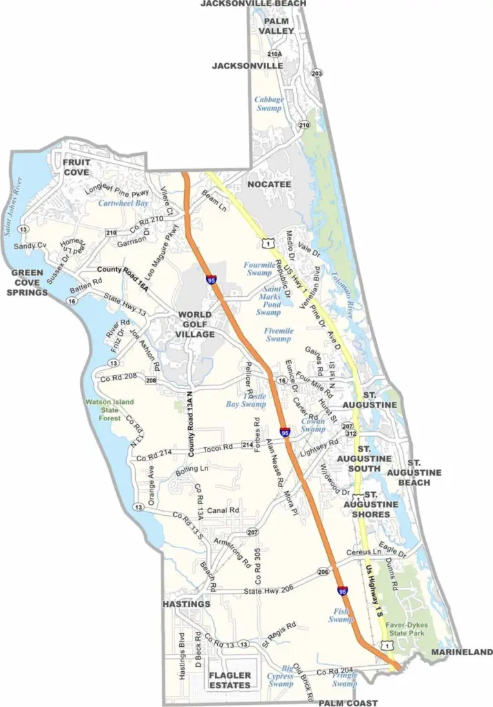
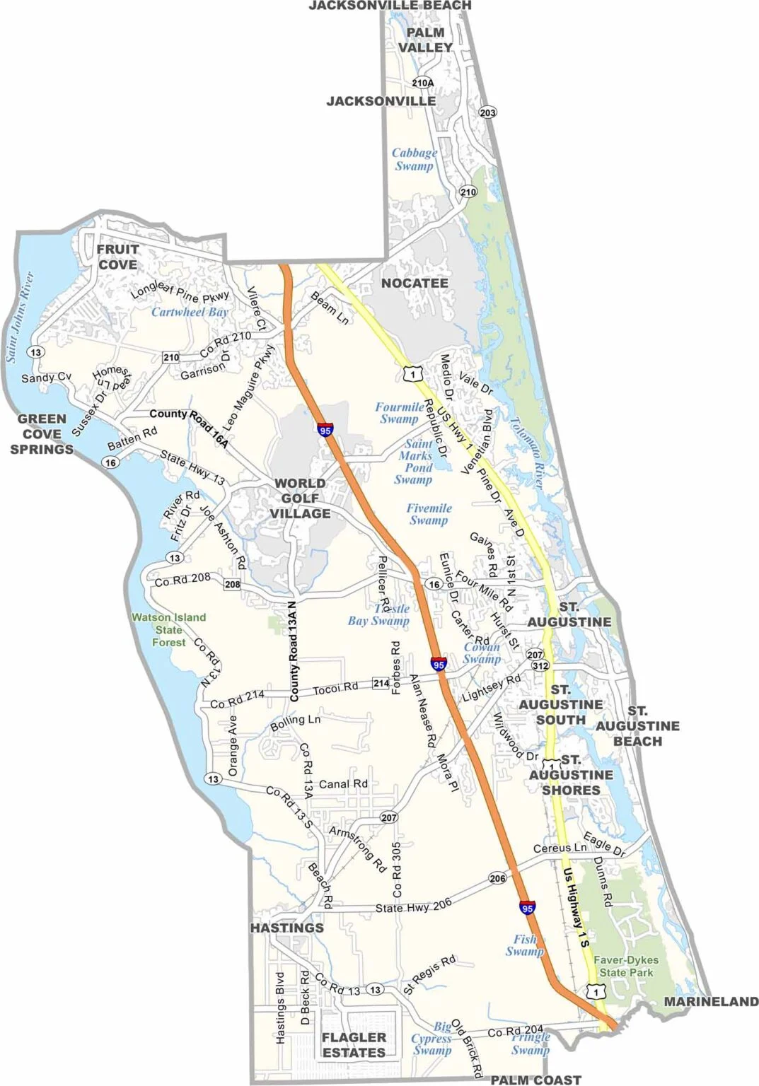
St. Johns County is located along Florida’s northeast coast and is anchored by St. Augustine, the nation’s oldest continuously inhabited European-established city. The area is known for its Spanish colonial architecture, historic sites, and miles of Atlantic beaches, stretching from upscale Ponte Vedra to the more relaxed St. Augustine Beach.
The St. Johns River forms much of the county’s western boundary and provides opportunities for fishing and boating. Inland, the landscape combines new residential developments with historic farmland and open spaces. World Golf Village attracts golfers from around the country, while St. Augustine’s historic district offers a growing food scene alongside its historic attractions.
St. Johns County continues to grow rapidly, bringing more housing, businesses, and heavier traffic. Its highly regarded schools also attract many families. Despite the growth, the county maintains a balance between tourism and local life, offering everything from historic forts and Spanish-era landmarks to beautiful beaches and outdoor recreation.
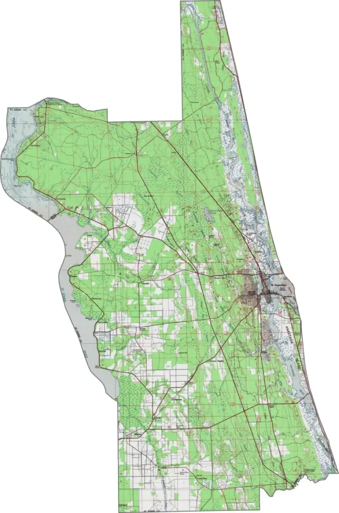
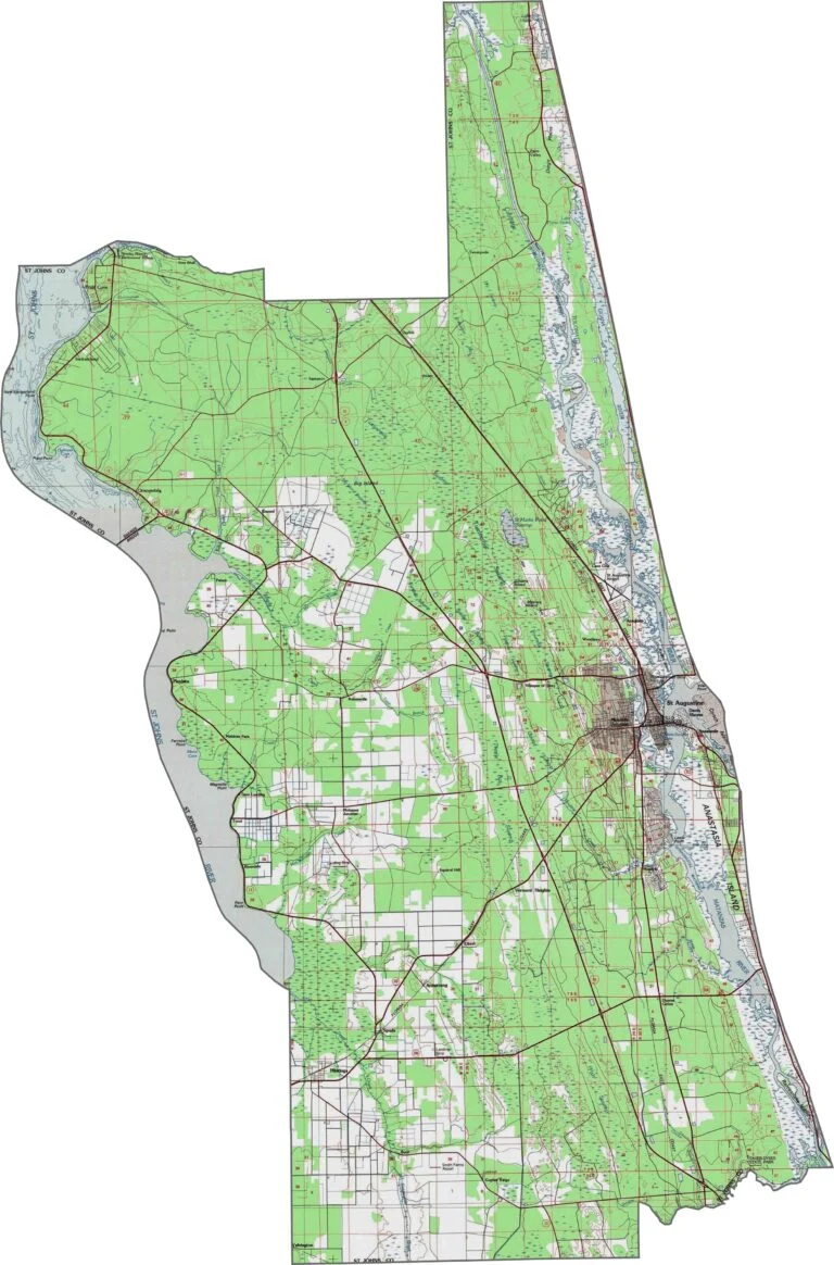
St. Johns County features a coastal plain with barrier islands along the Atlantic Ocean. The topography has relatively little elevation change, with gentle slopes toward the county’s waterways. Use our new zoom tool to explore these subtle features in greater detail.
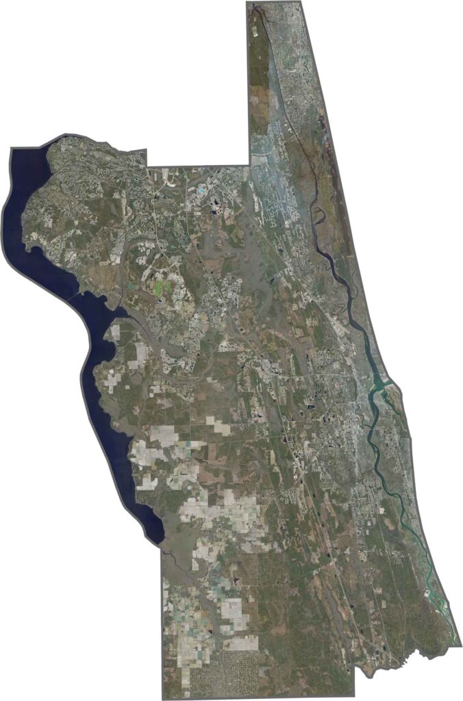
This St. Johns County satellite map highlights the area’s coastal landscapes and inland waterways. The Atlantic shoreline includes sandy beaches and the Matanzas River, while the interior features gently rolling terrain, particularly around the St. Johns River. Zoom in to see how these waterways shape the landscape.
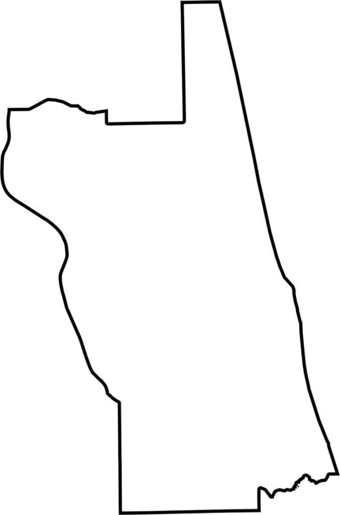
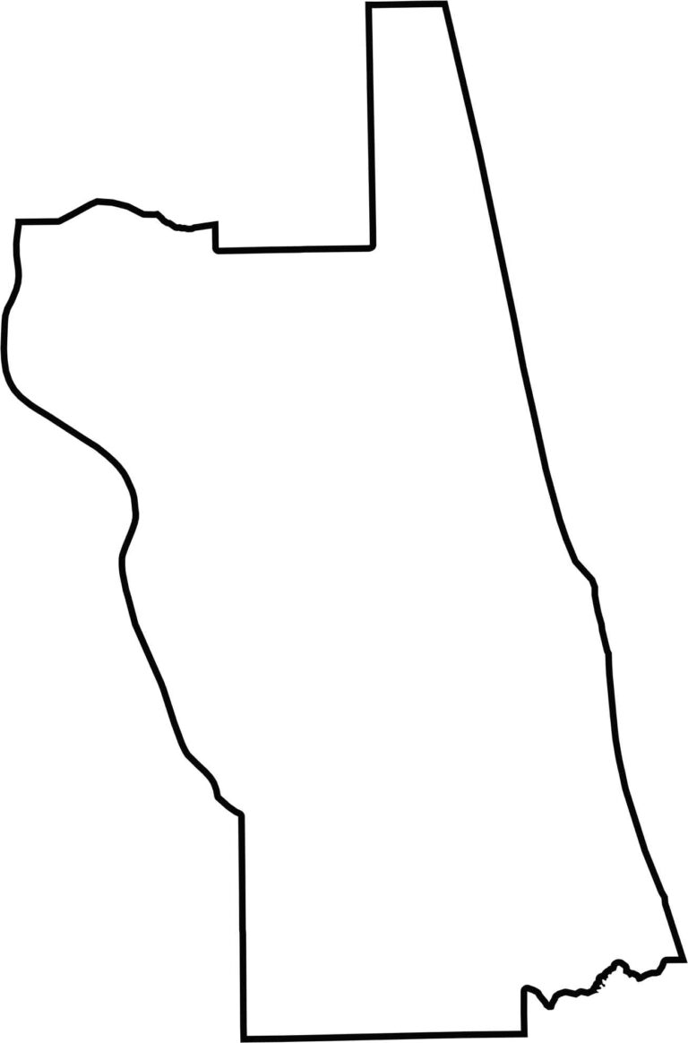
Our blank map of St. Johns County has a distinctive narrow shape that stretches along Florida’s Atlantic coast. Its outline resembles a raised hand with one finger pointing upward, making the county easy to recognize. Use the blank map below for any purpose.








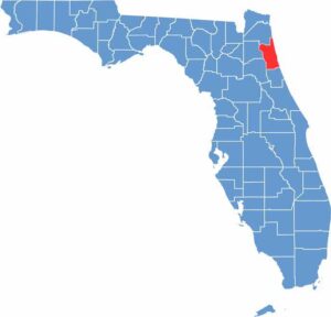
Looking to find a county map of Florida? Our Florida county map breaks down all 67 counties. Explore the Sunshine State with detailed topographic, satellite, and outline maps.