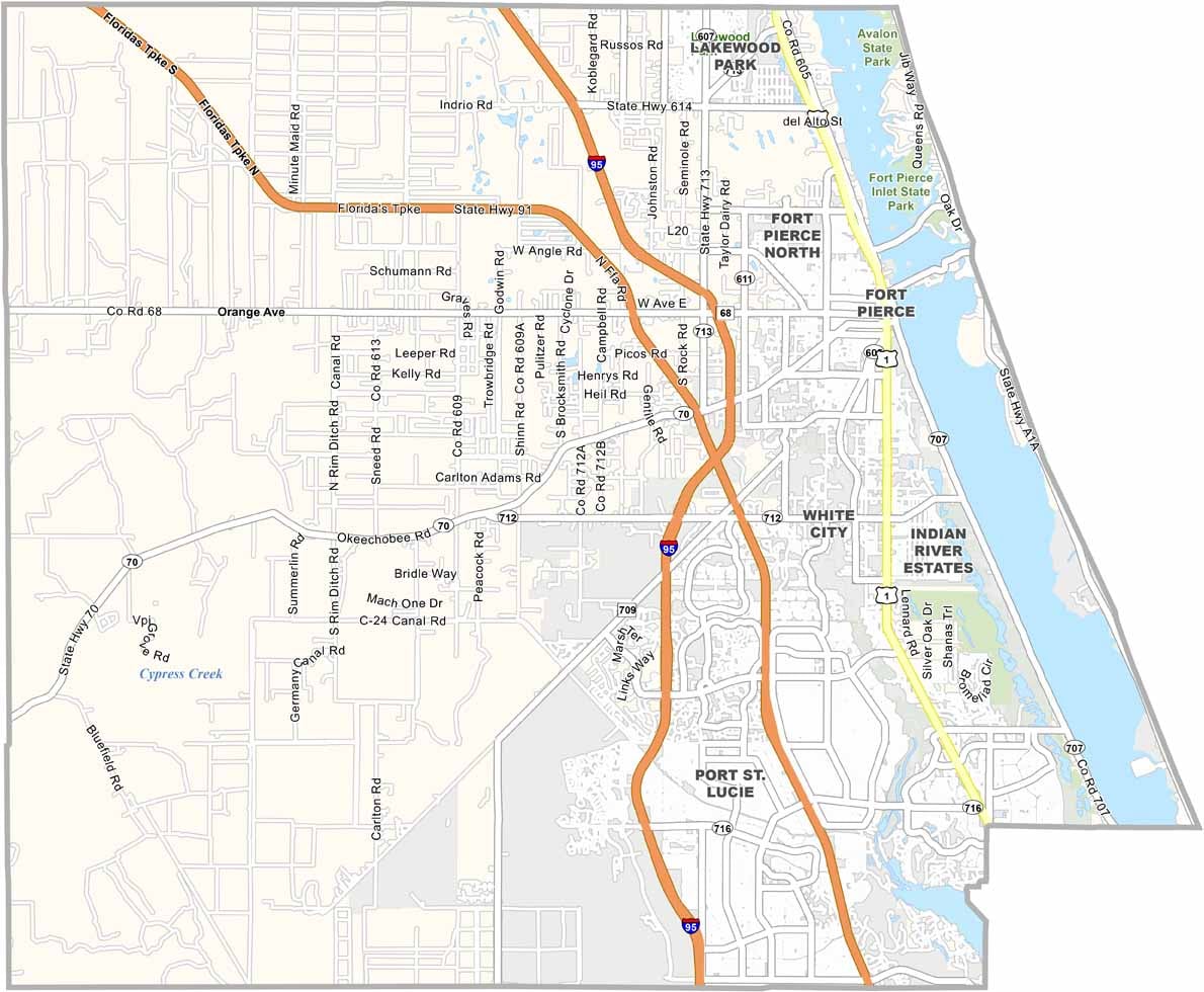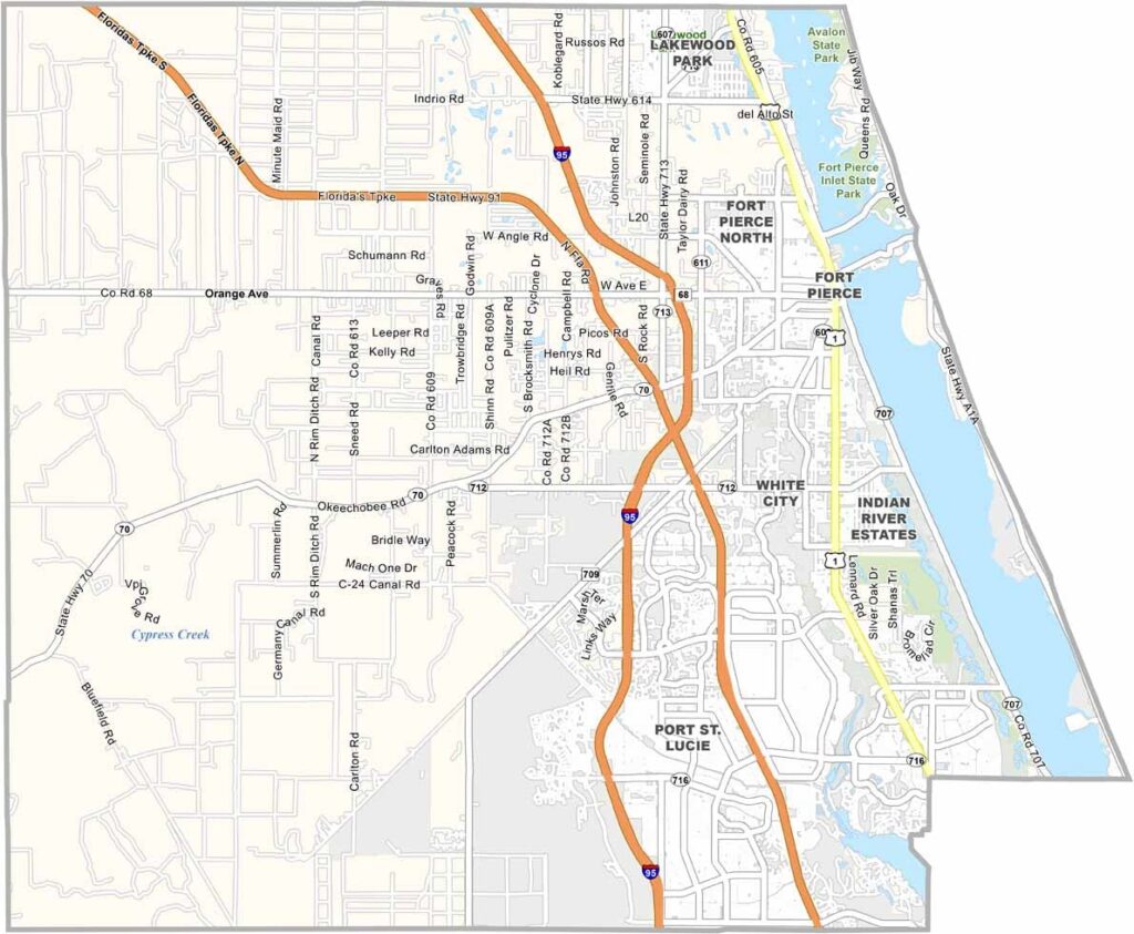
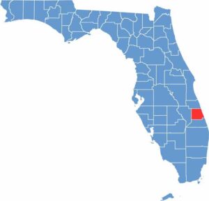
St. Lucie County is located along Florida’s Treasure Coast, between Palm Beach County and Indian River County. Fort Pierce serves as the county seat and retains much of its old Florida charm, while Port St. Lucie is the largest city and a major center of growth. The New York Mets also hold their spring training games in the area.
The National Navy SEAL Museum in Fort Pierce is a popular attraction, while Hutchinson Island offers beautiful beaches with a quieter atmosphere. Fishing is a major activity in the Indian River Lagoon and offshore waters, while cattle ranches continue to operate across the western part of the county.
St. Lucie County is experiencing rapid development, bringing new neighborhoods, businesses, and increasing traffic. Despite this growth, quiet rural areas can still be found, including historic ranches such as Adams Ranch, known for its sprawling landscapes and mature oak trees. The county continues to change while retaining many elements of traditional Florida.
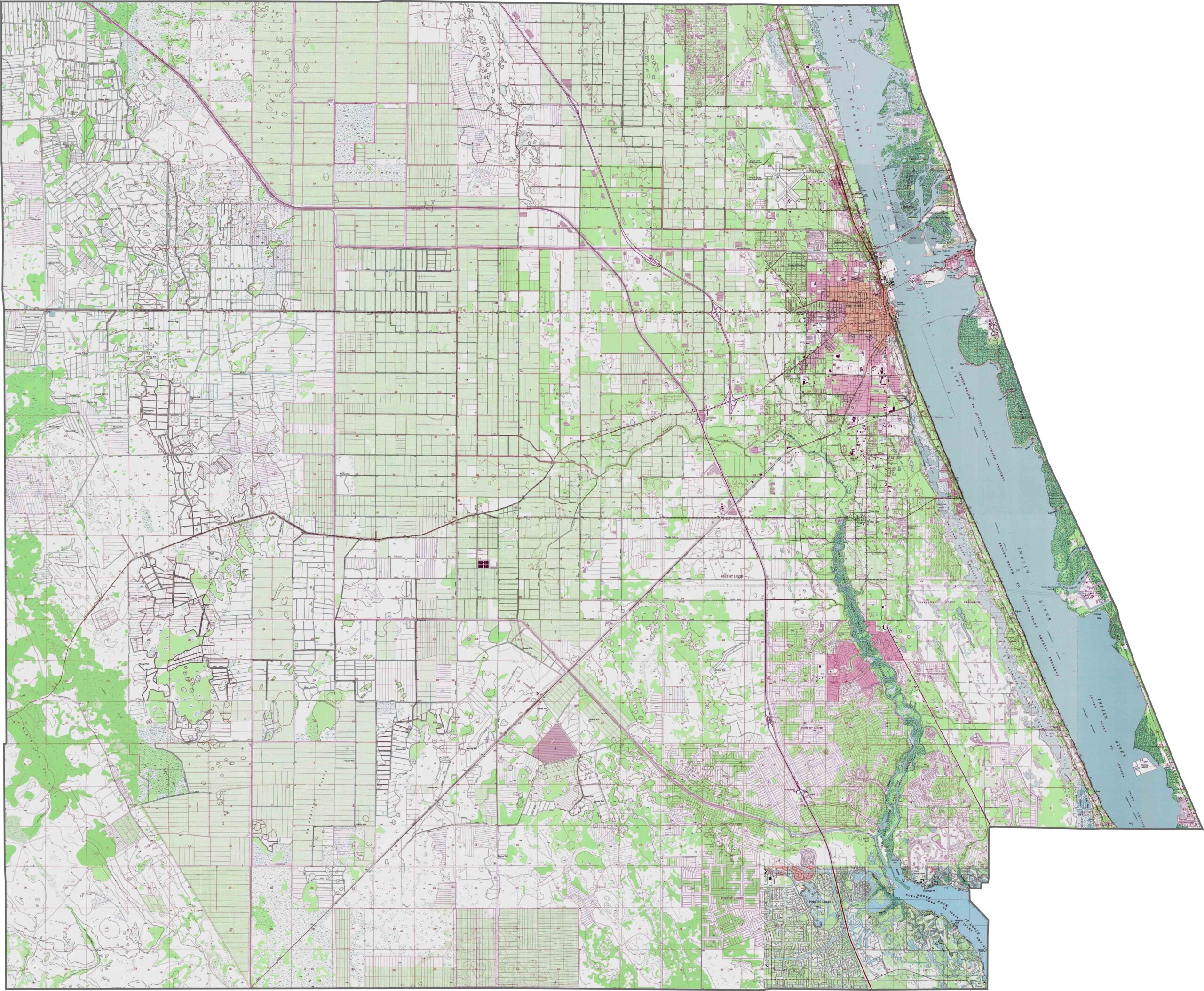
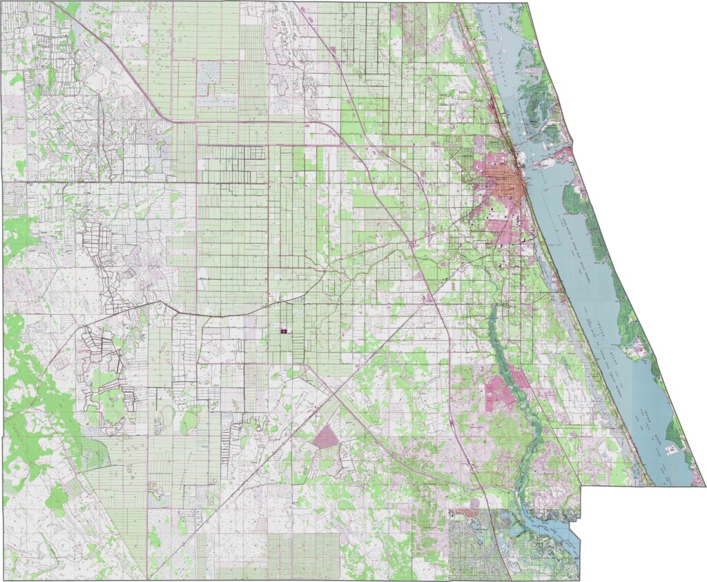
St. Lucie County lies on a coastal plain, with the Atlantic Coastal Ridge reaching about 50 feet near the eastern edge. The central areas are mostly flatwoods with scattered wetlands. Our zoom tool lets you explore these subtle changes in elevation across the county.
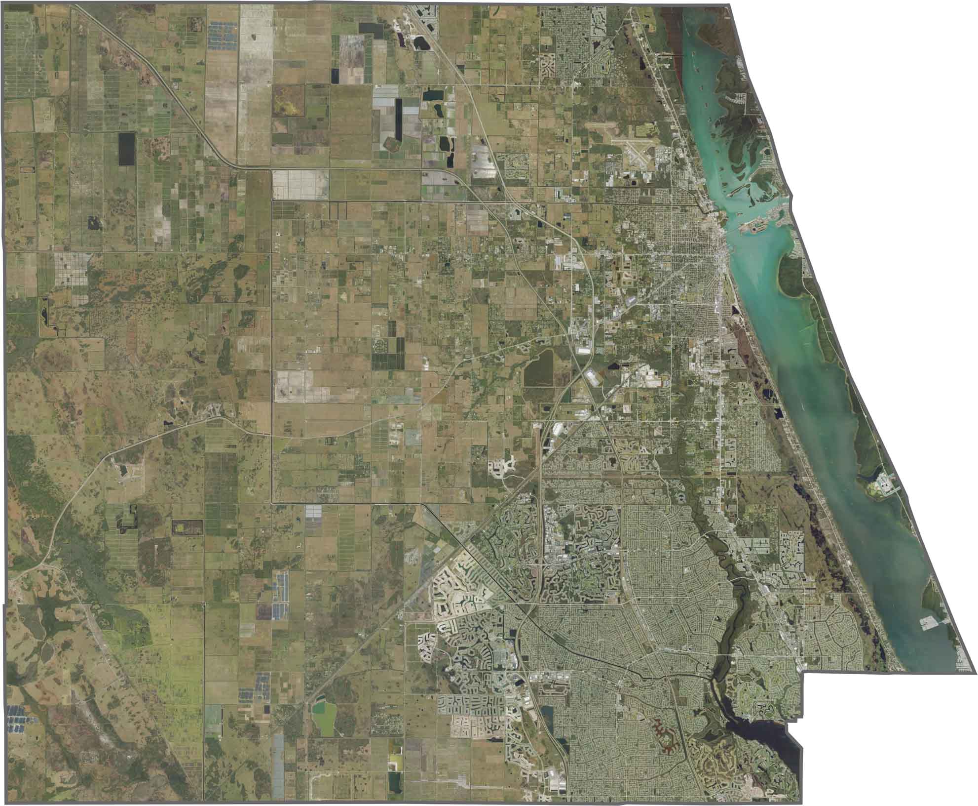
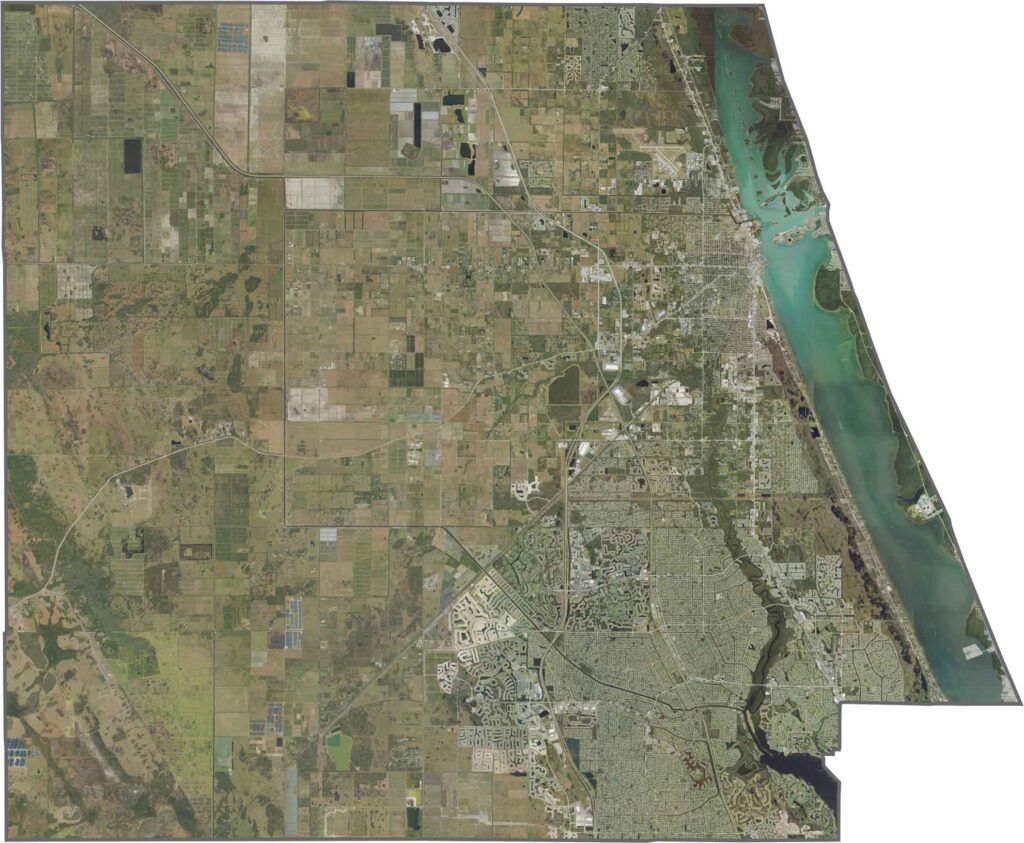
This satellite map highlights St. Lucie County’s mix of coastal, urban, and inland landscapes. Fort Pierce is the major urban center, while waterways, protected areas, and other communities spread across the county. Zoom in to explore the county’s diverse natural and developed areas.
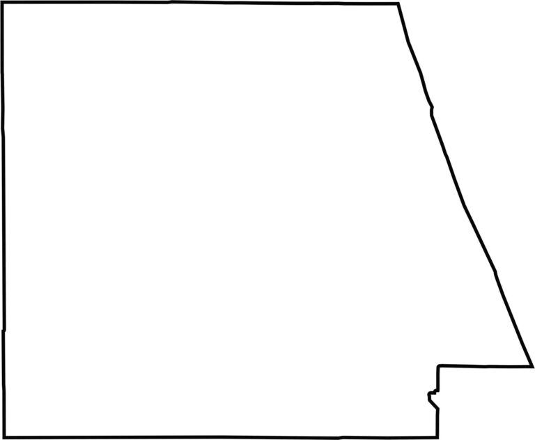
Our blank map shows St. Lucie County with a compact shape, featuring a mostly rectangular western section and a more triangular eastern portion along the coast. The outline makes the county’s distinctive shape easy to recognize.