
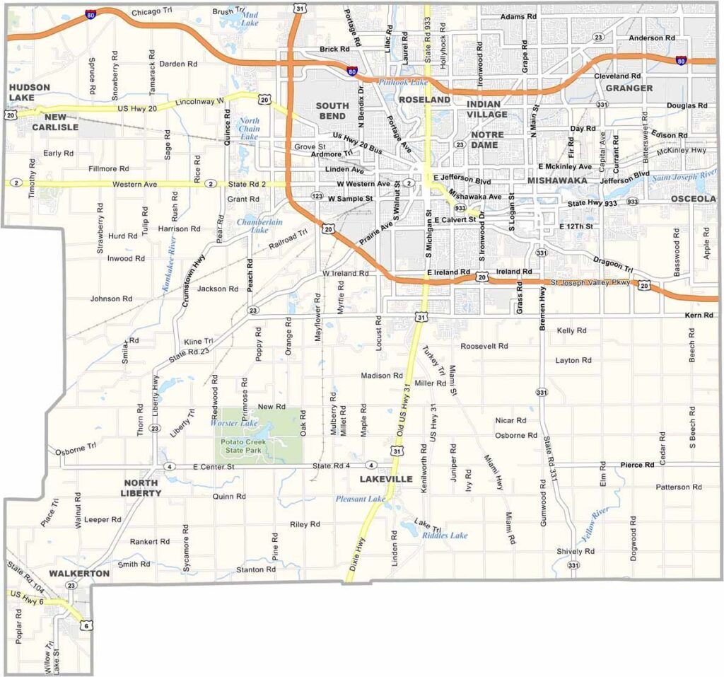
St. Joseph County is where Midwest charm meets a touch of urban energy. South Bend, the county seat, is famous for Notre Dame University and its iconic golden dome.
But there’s more to this northern Indiana county than just Fighting Irish football. Mishawaka is South Bend’s sister city, with its own personality and a riverwalk that locals love.
The St. Joseph River winds through the county, offering scenic spots and good fishing. Check out Potato Creek State Park and the Studebaker National Museum, a nod to the county’s automotive past.
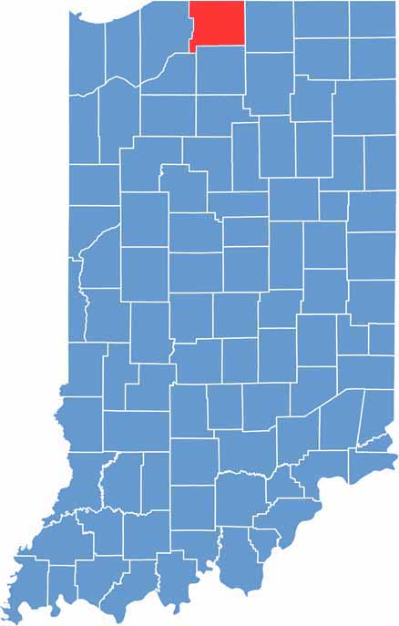
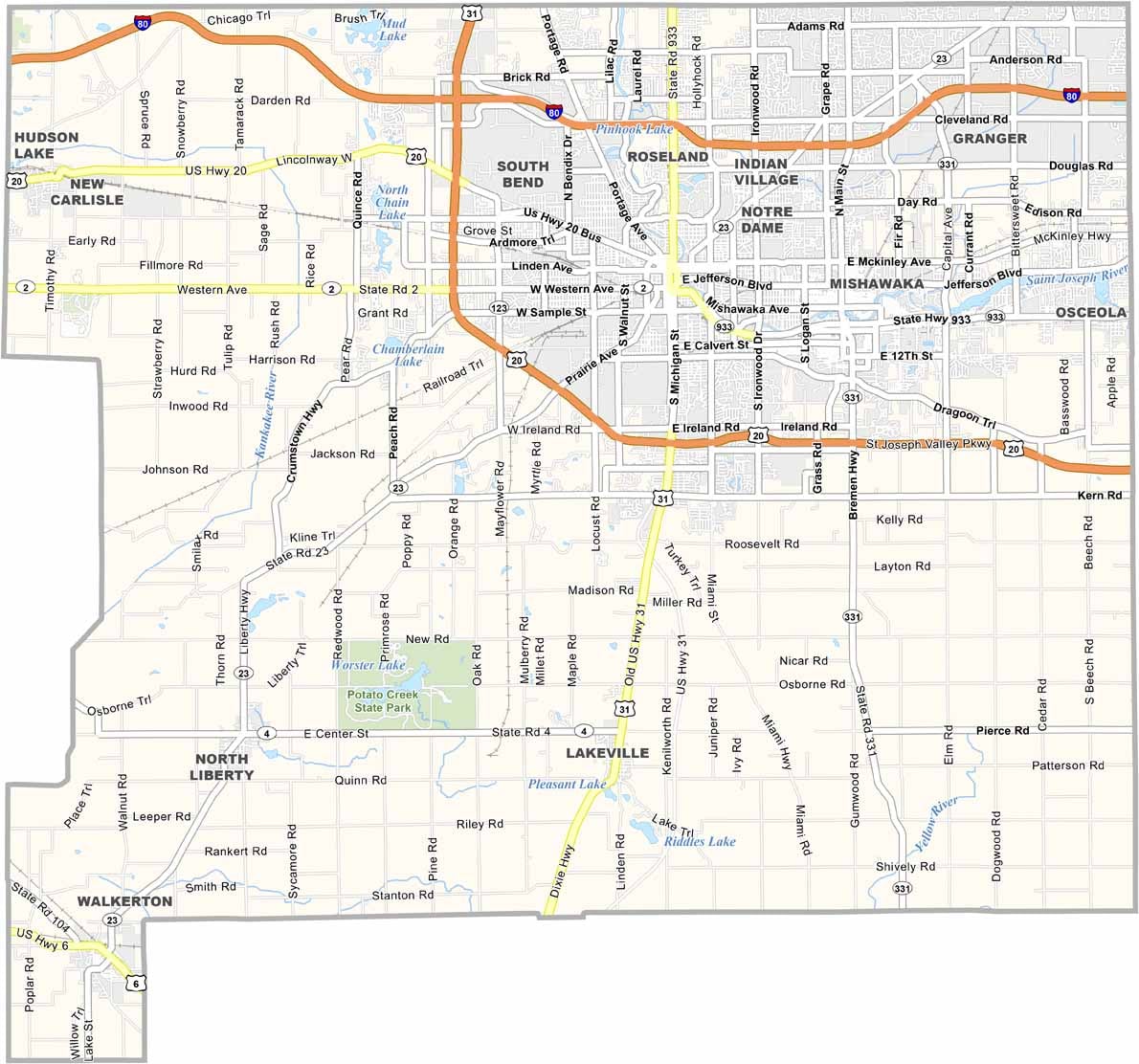
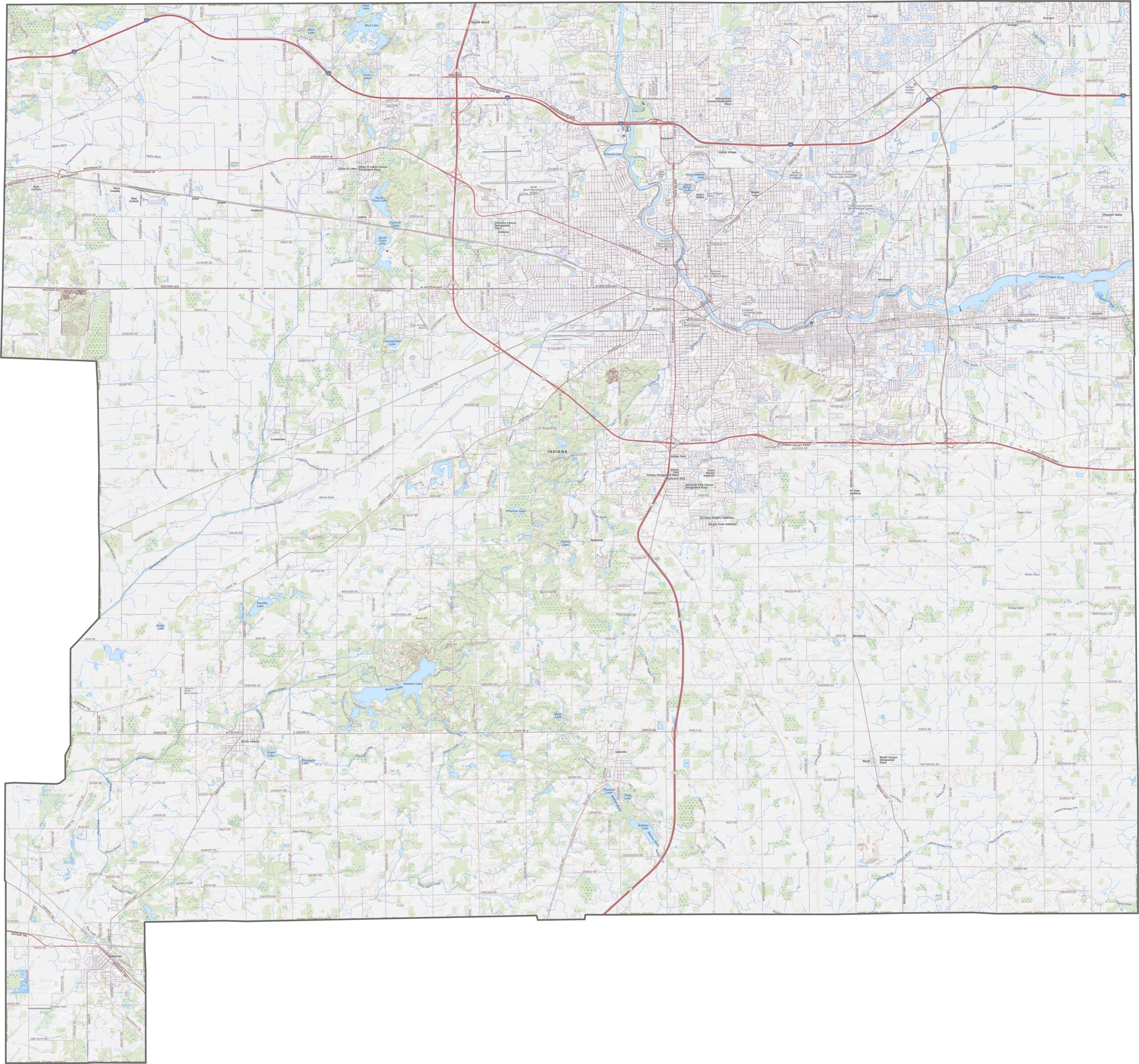
In St. Joseph County, the land is mostly flat, with some rolling hills near the St. Joseph River. Use our zoom tool to explore I-80, US-20, and other major roads throughout the county.
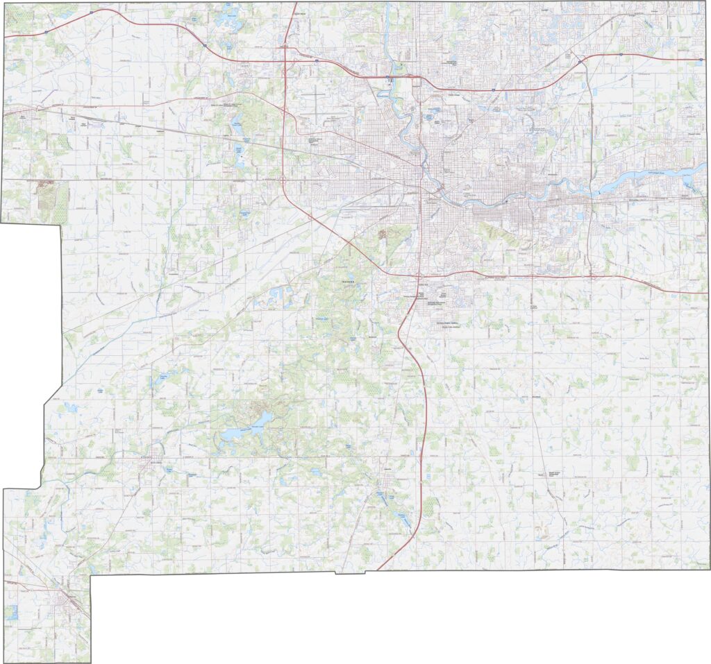
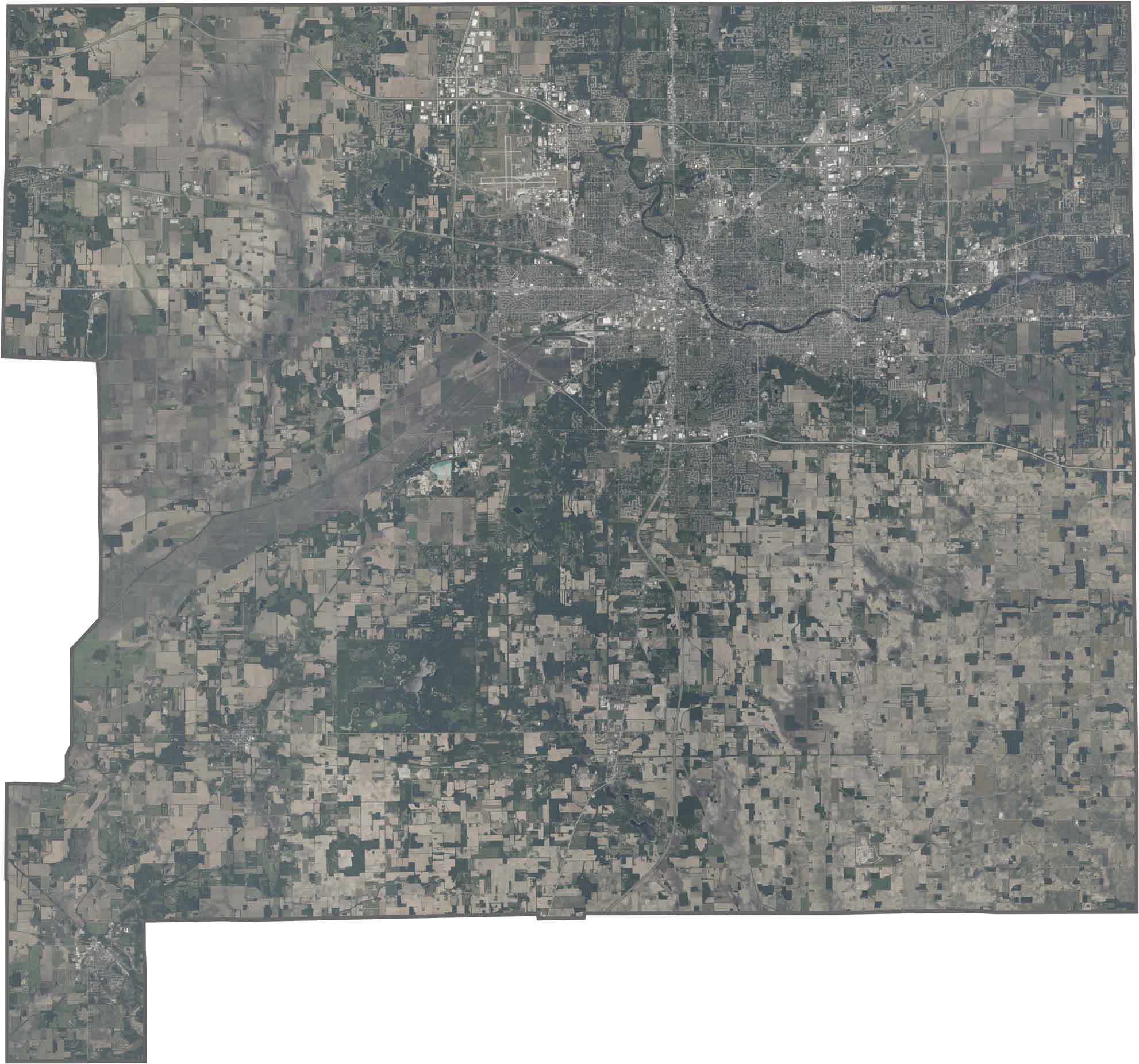
On our satellite map, you’ll see South Bend in the northern part of the county. Farms cover much of the southern area, while the St. Joseph River cuts across the county in wide curves.
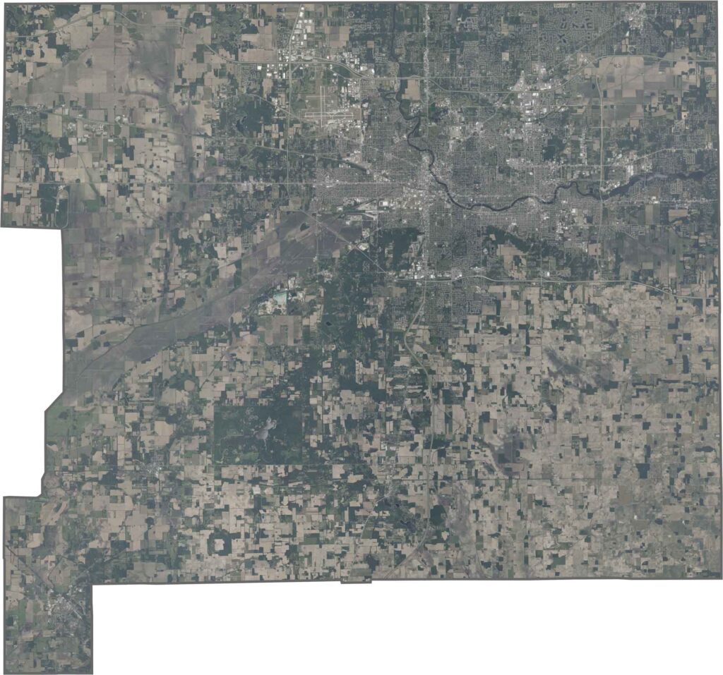
The county has a blocky shape with a straight northern edge. It shares a border with Michigan to the north.







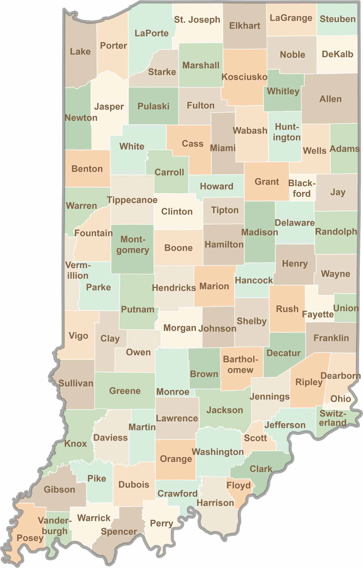
Explore the Hoosier State, home to 92 counties filled with scenic backroads, impressive skyline views, and charming small towns. Think of this as your glovebox passport to Indiana, guiding you to classic diner pies, covered bridges, and stunning Lake Michigan sunsets.