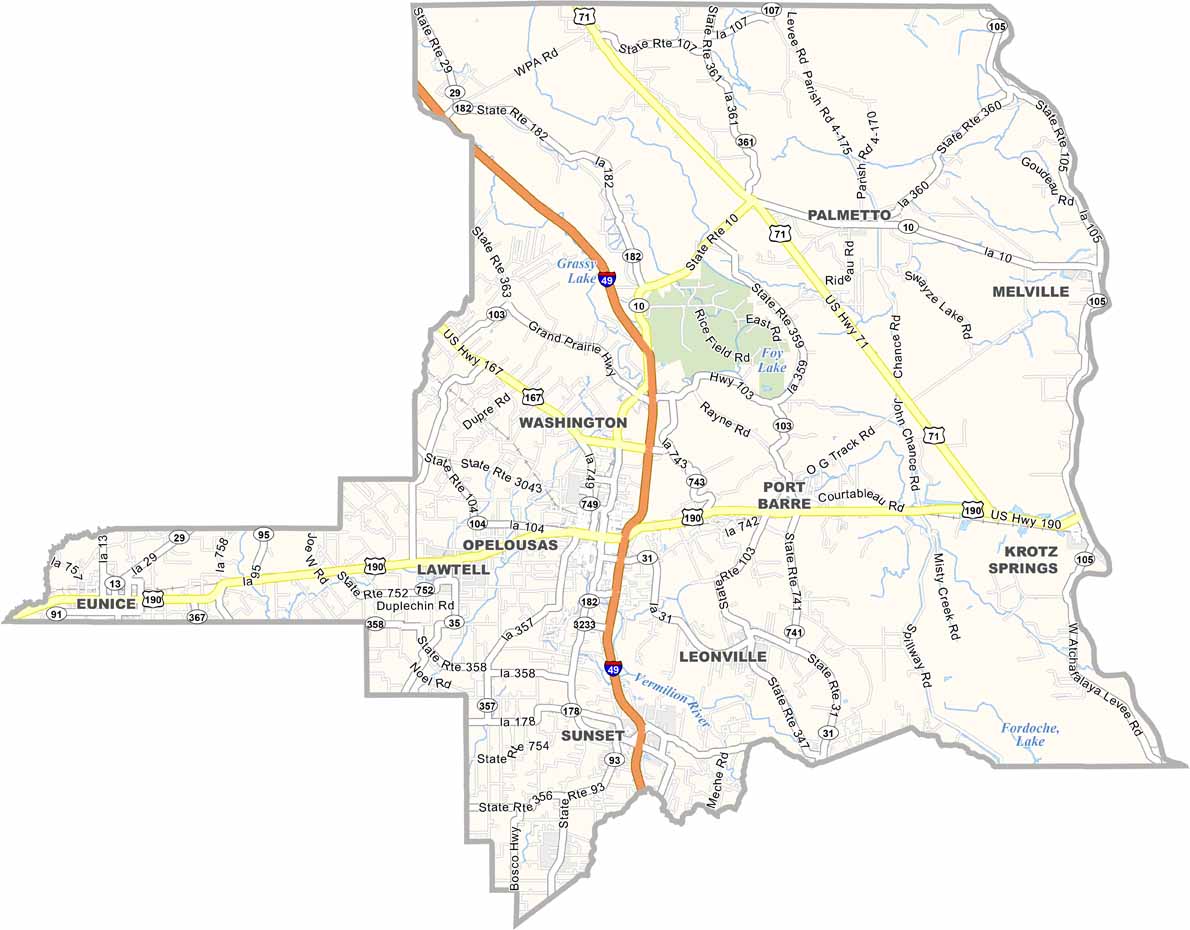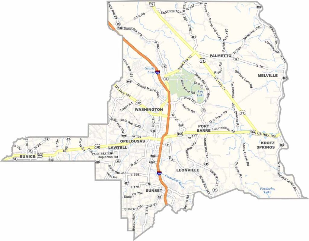
St. Landry Parish, Louisiana

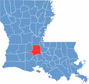
St. Landry Parish is located in the heart of Cajun Country, about halfway between Lafayette and Alexandria in south-central Louisiana. It’s a place where crawfish boils are simply part of everyday life.

Opelousas serves as the parish seat and claims to be the “Spice Capital of the World.” That’s quite a boast. Prairies and bayous shape much of the landscape here.

You’ll find a mix of small towns and rural communities, each with its own unique character. The Atchafalaya Basin borders the eastern edge, offering excellent opportunities for fishing and wildlife watching.

CategoryDetails
Parish NameSt. Landry Parish
Parish SeatOpelousas
EtymologyNamed after Saint Landry, a French saint and bishop
Cities, Towns, and CommunitiesOpelousas, Eunice, Sunset, Grand Coteau, Port Barre, Krotz Springs, Melville, Washington, Arnaudville, Palmetto
Interstates and HighwaysI-49, US-190, US-167, LA-1, LA-182
FIPS Code22-097
Total Area (Land and Water)939 square miles (924 sq mi land, 15 sq mi water)
Adjacent Parishes (and Direction)Avoyelles Parish (North), Pointe Coupee Parish (East), St. Martin Parish (Southeast), Lafayette Parish (South), Acadia Parish (Southwest), Evangeline Parish (Northwest)
Time ZoneCentral Time Zone (CT)
StateLouisiana
Coordinates30.5433° N, 92.0784° W
Major LandmarksSt. Landry Catholic Church, Opelousas Museum & Interpretive Center, Le Vieux Village, Louisiana Orphan Train Museum, Eunice Depot Museum
PopulationApproximately 81,000
Scroll to Top