
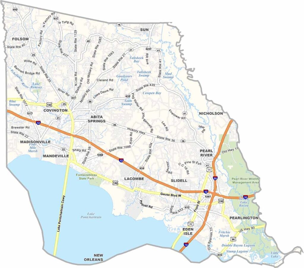
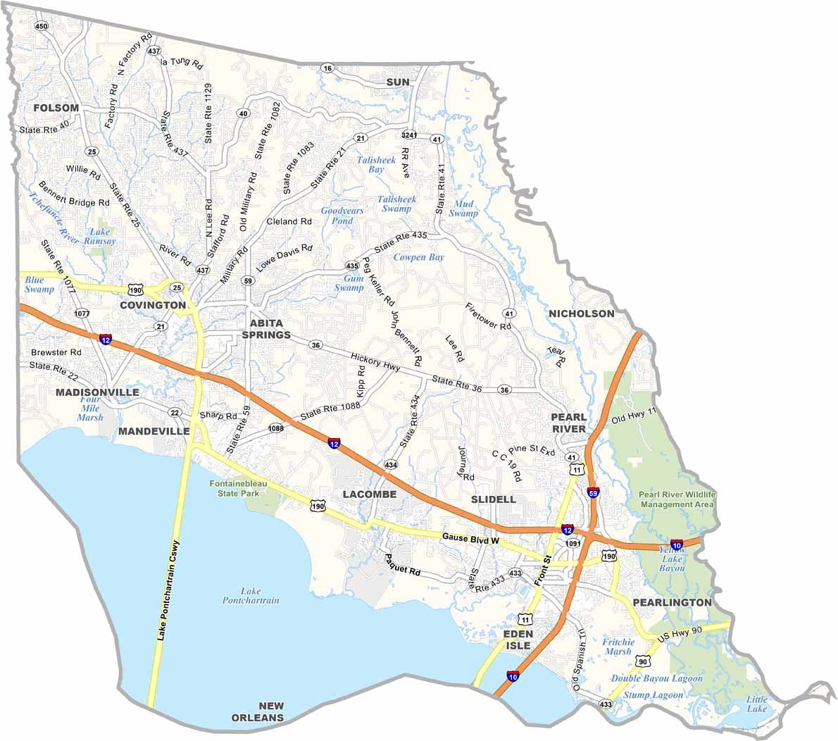
St. Tammany Parish sits along the north shore of Lake Pontchartrain, directly across from New Orleans. The parish is growing quickly and offers an escape from the big city while still being close enough for an easy trip to the French Quarter.
People here enjoy spending time outdoors. You’ll often find them kayaking along the Bogue Falaya River or hiking through the expansive longleaf pine forests. But there’s more to the parish than its relaxed pace of life.
The Lake Pontchartrain Causeway is the longest continuous bridge over water in the world and holds a Guinness World Record for this achievement. Overall, this parish combines small-town charm with beautiful natural surroundings.
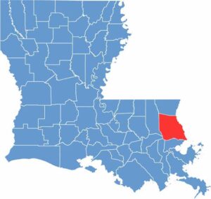
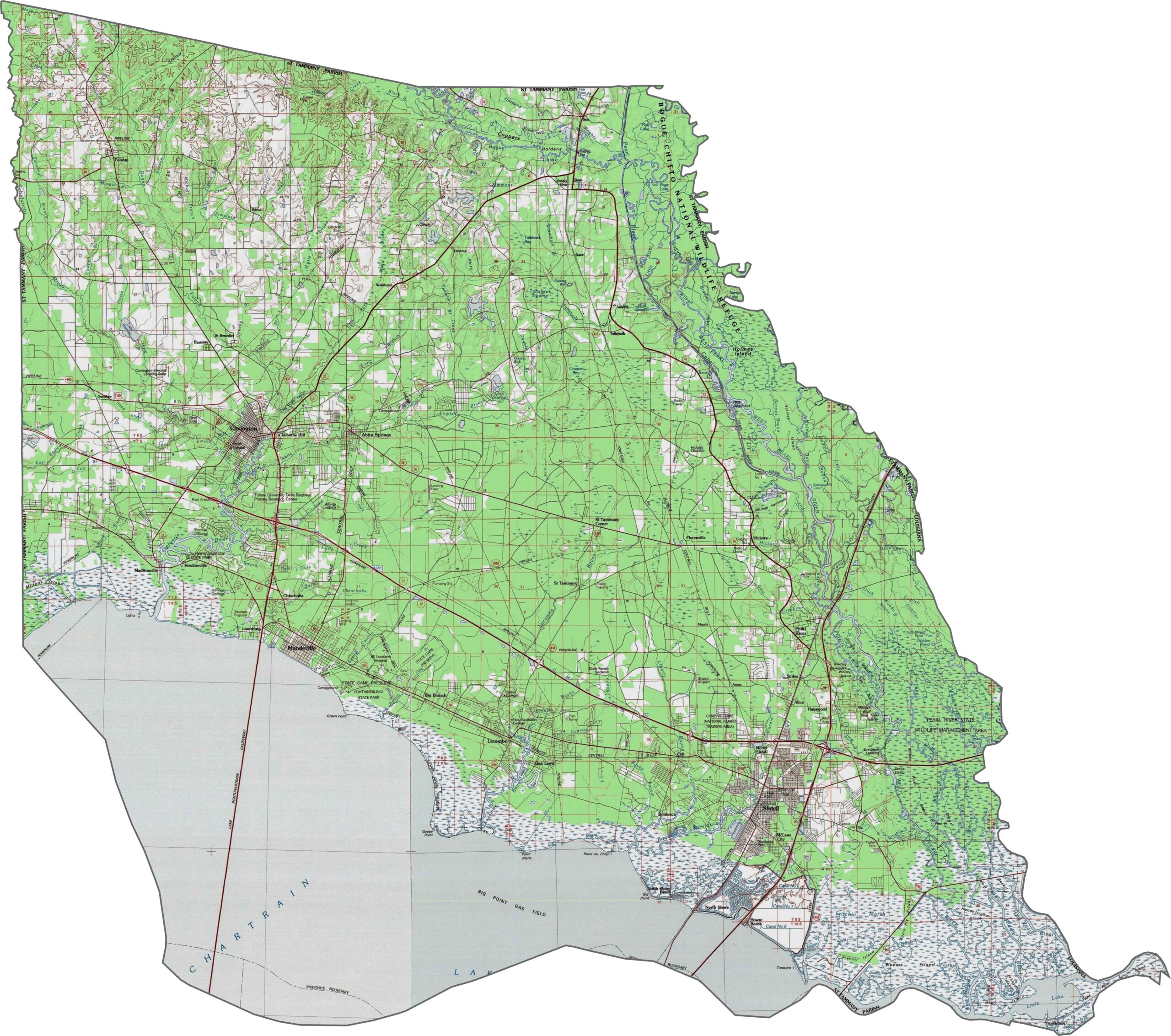
The coastal plains rise gradually northward from Lake Pontchartrain. Although the area is mostly flat, small ridges and bayous create subtle changes in elevation. The Pearl River also forms one of the lowest points. Zoom in to explore these features.
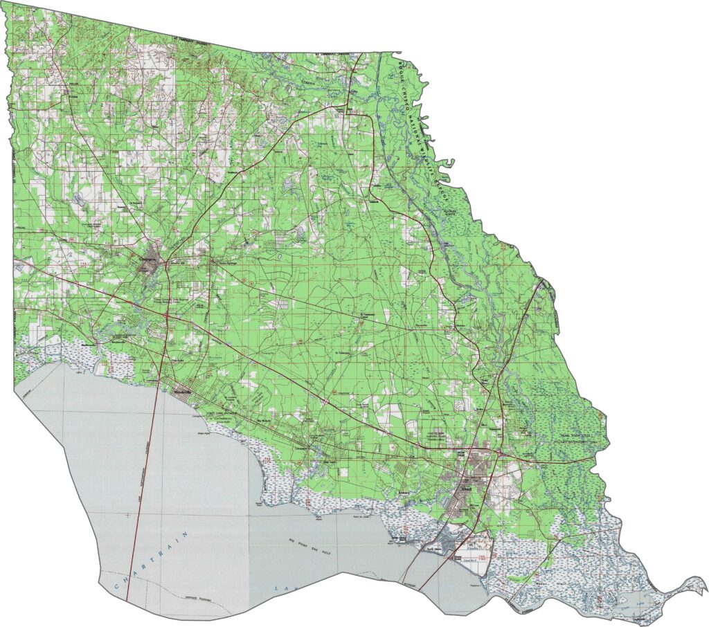
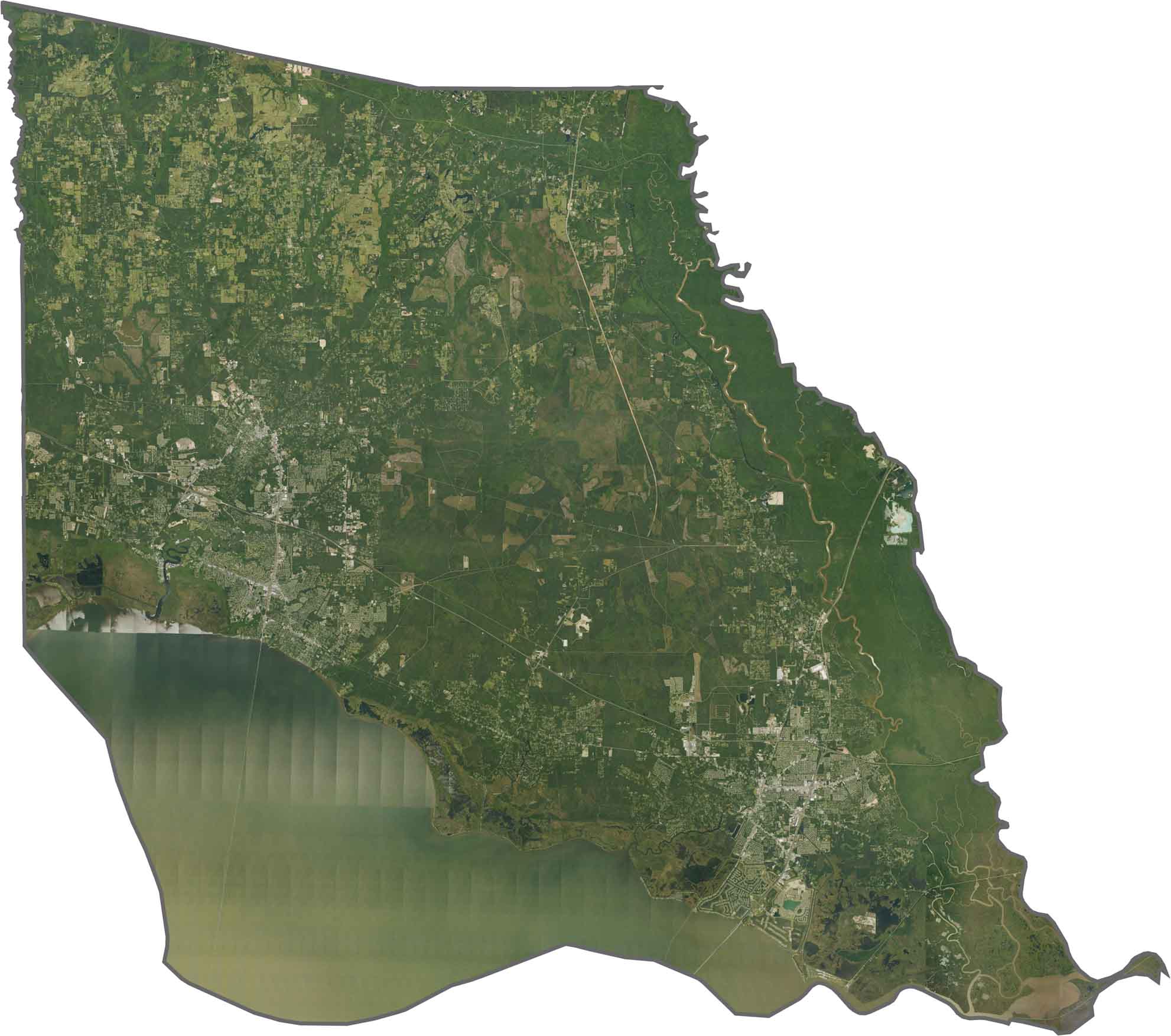
Pine forests, wetlands, and suburban development define St. Tammany Parish. Lake Pontchartrain’s shoreline curves along the southern edge, with sandy beaches, while the Pearl River basin also extends into the parish.
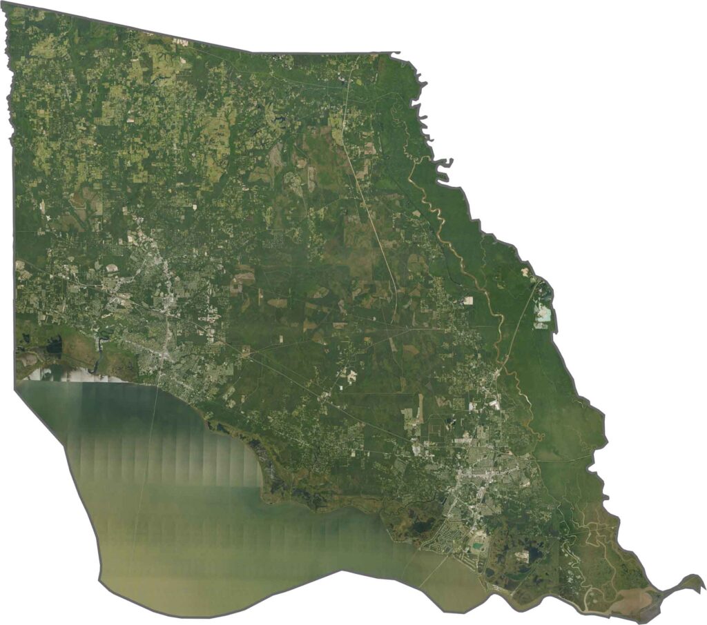
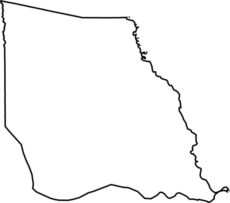
The parish forms a rough triangle between two major waterways. The Pearl River marks the Mississippi state line along the eastern edge, while Lake Pontchartrain forms the southern boundary.







In Louisiana, you’ll taste the spirit of the state in its hot sauce and hear it in the midnight blues. Laissez les bon temps rouler! Explore our Louisiana parish maps to discover the state’s unique communities, winding bayous, and rich landscapes. Come for the beignets. Stay for the bayou.