
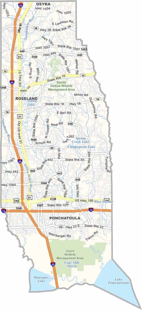
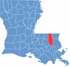
Tangipahoa Parish is located in southeastern Louisiana, stretching from the Mississippi state line south to Lake Pontchartrain. Hammond serves as the parish seat and is home to Southeastern Louisiana University.
Locals are especially proud of their strawberries. Each spring, the parish hosts a popular Strawberry Festival, a sweet celebration that attracts visitors from all around the region.
The parish blends Cajun and Southern cultures, which can be seen in its food and welcoming communities. Residents and visitors can also enjoy plenty of opportunities for kayaking and camping.
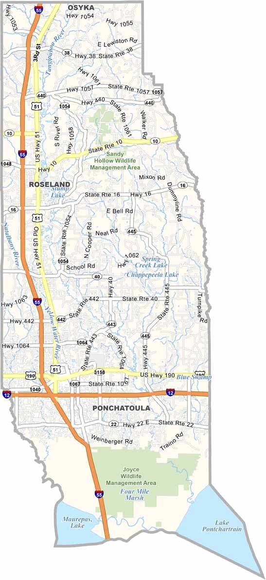
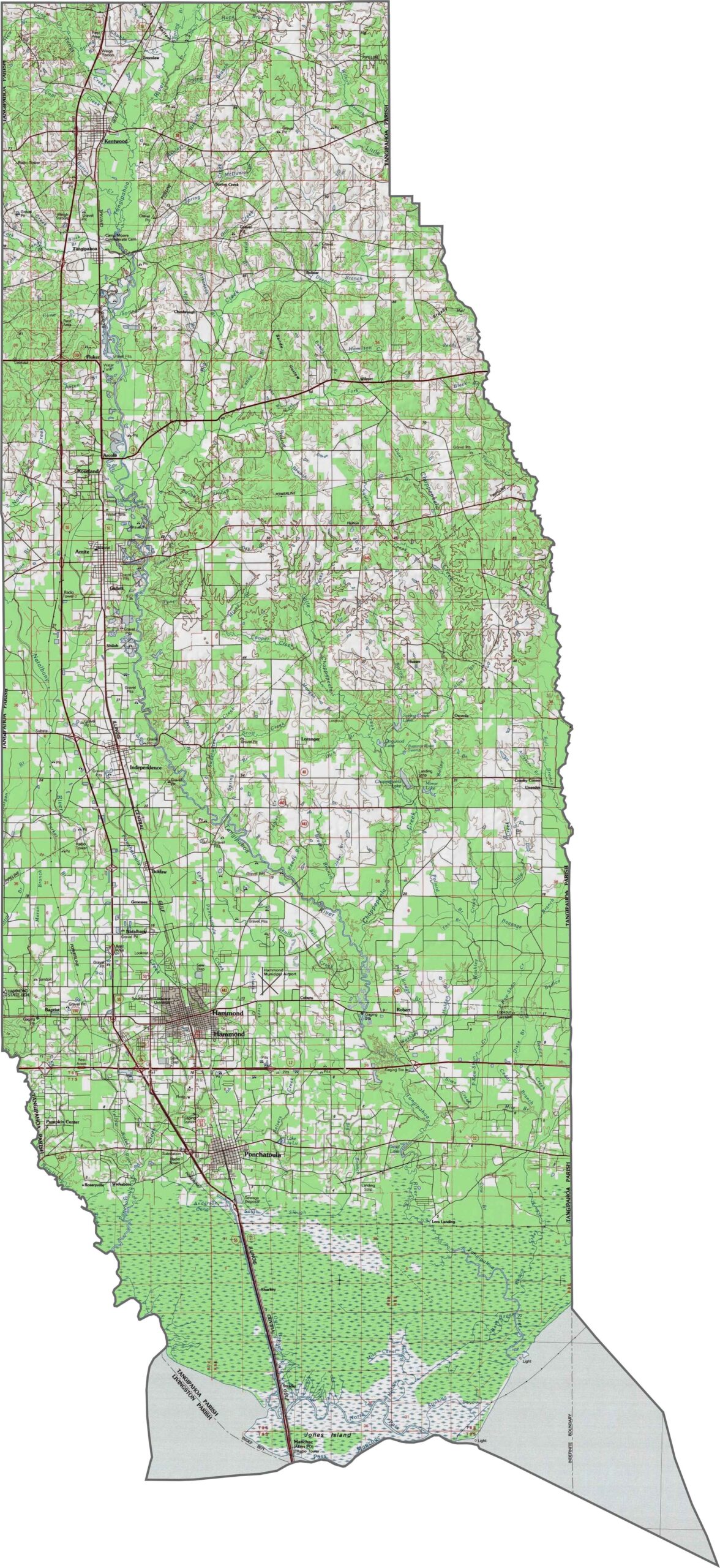
This parish features a mix of flat farmland and gently rolling hills. The terrain changes slightly around rivers and streams. You can explore these features using our zoom tool on the map below.
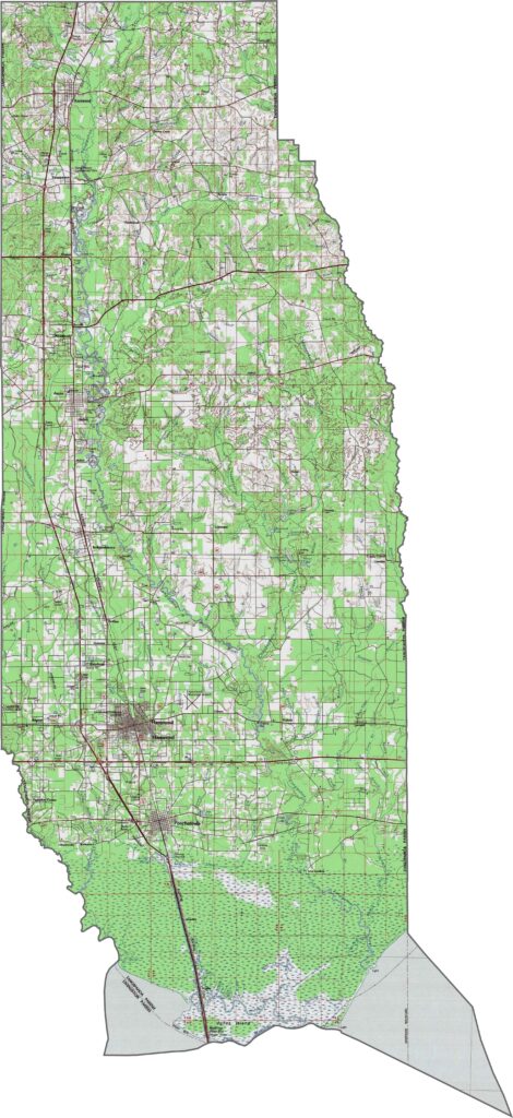
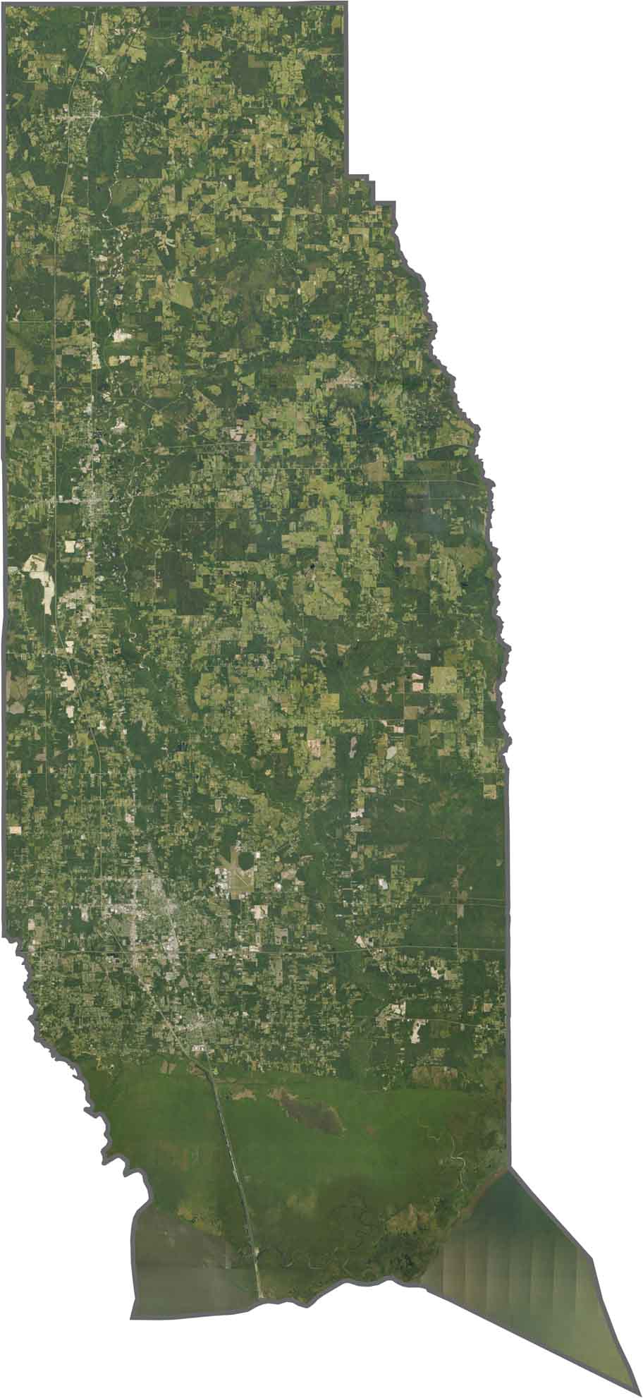
In Tangipahoa Parish, expansive pine forests transition into rich farmland as you move south. The Tangipahoa River winds through the center, while Hammond’s urban area clusters around the interstate interchange and is surrounded by development.
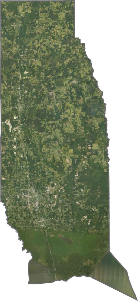
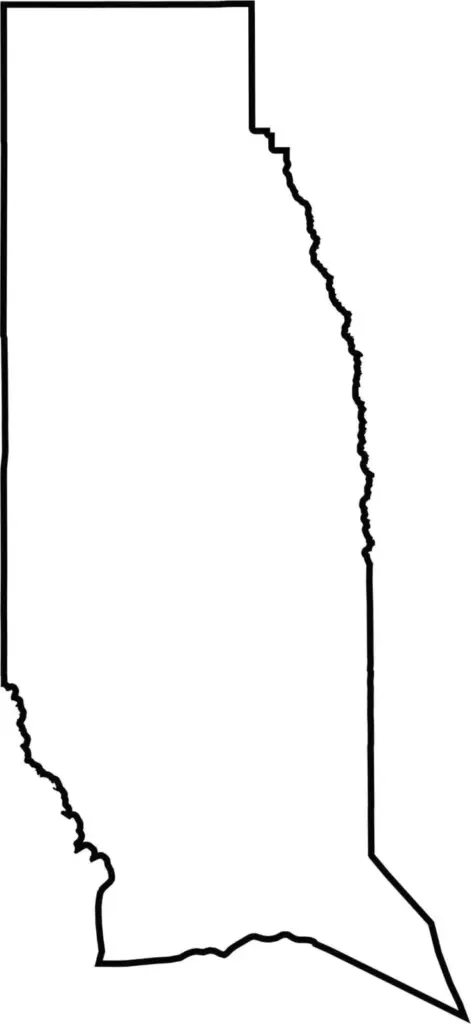
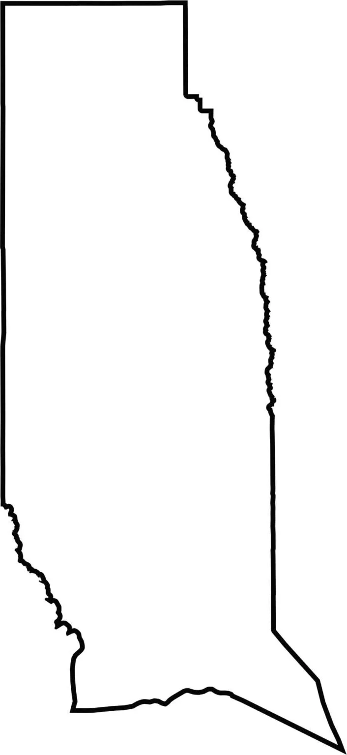
Long and narrow, the parish stretches about 60 miles north to the Mississippi border. The state line forms a straight northern edge, while Lake Pontchartrain reaches the parish’s southern tip.






In Louisiana, you’ll taste the spirit of the state in its hot sauce and hear it in the midnight blues. Laissez les bon temps rouler! Explore our Louisiana parish maps to discover the state’s unique communities, winding bayous, and rich landscapes. Come for the beignets. Stay for the bayou.