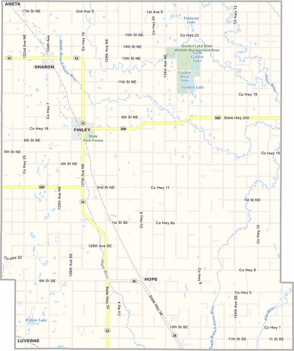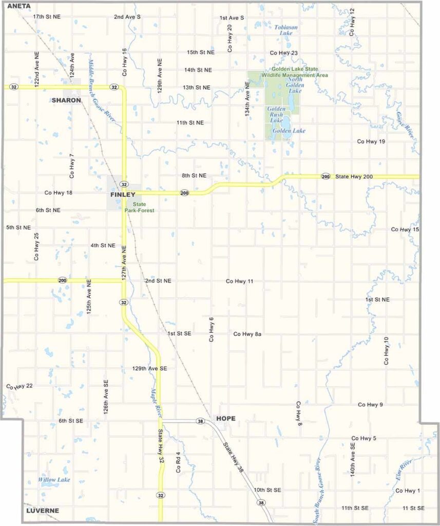
Steele County Map, North Dakota

Steele County, North Dakota

Steele County occupies a piece of eastern North Dakota. Finley, a small town in the northwest with a big spirit, serves as the county seat.

Farming is the lifeblood of this community, with endless fields of wheat and soybeans stretching across the landscape. The county has deep roots and was established back in 1883.

Small-town charm is alive and well here, and neighbors still lend a helping hand without hesitation. The Goose River meanders through the county, offering scenic views. Local schools are the pride of the community, and family values run deep.
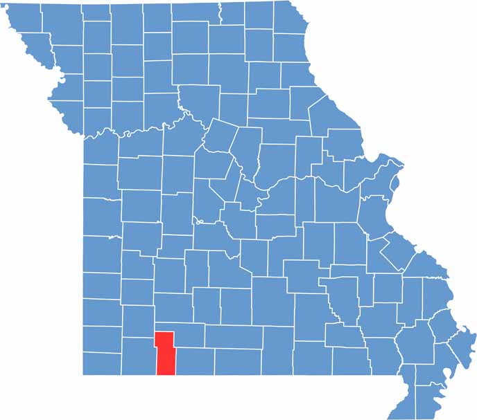
Printable Stone County Missouri location map showing county location and boundaries
CategoryDetails
County NameSteele County
County SeatFinley
EtymologyNamed after Edward H. Steele, secretary-treasurer of the Red River Land Company
Cities, Towns, and CommunitiesFinley, Cooperstown, Aneta, Catlin
Interstates and HighwaysNorth Dakota Highway 1, North Dakota Highway 200
FIPS Code38-091
Total Area1,344 square miles (land and water)
Adjacent CountiesGrand Forks County (North), Traill County (East), Cass County (Southeast), Barnes County (Southwest), Griggs County (West), Nelson County (Northwest)
Time ZoneCentral Time Zone
StateNorth Dakota
Coordinates47.5056° N, 98.0621° W
Major LandmarksSteele County Museum, Cooperstown Historical Museum
PopulationApproximately 1,900
Scroll to Top