
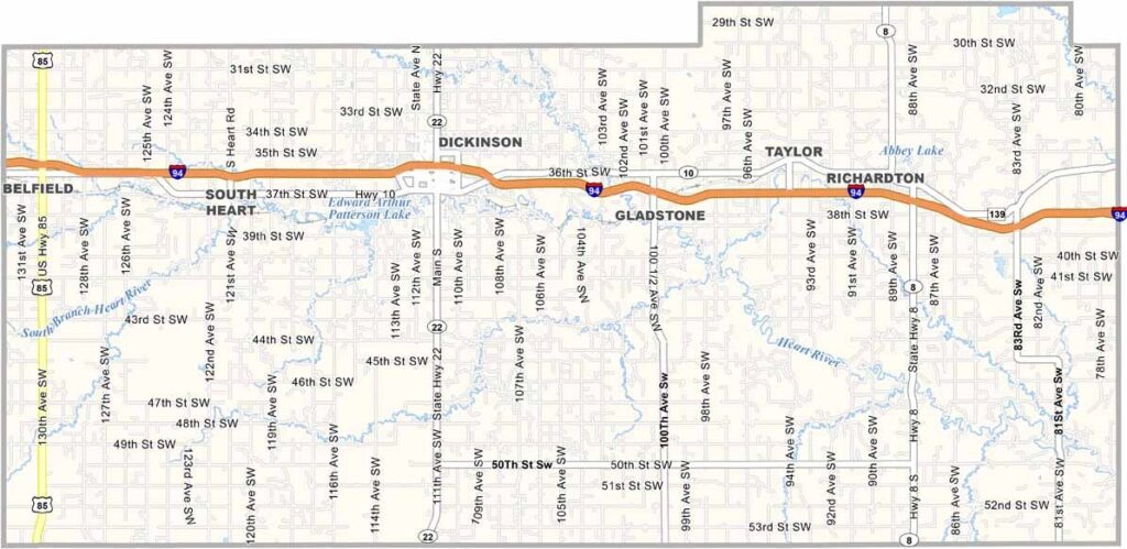
Stark County Map, North Dakota

Stark County, North Dakota

Welcome to the heart of western North Dakota's oil country, where Stark County is the place to be. The energy here is palpable.

Dickinson, the county seat, has boomed in recent years and is a place of opportunity and growth. The county also has a rich history in agriculture.

Theodore Roosevelt National Park is just a stone's throw away. You'll find a mix of old-timers and newcomers here, and there's always something happening. Despite all the changes, community spirit remains strong.
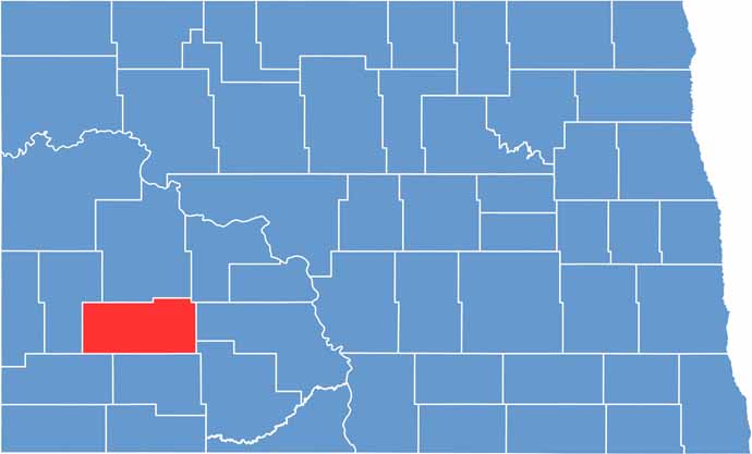
Stark County location map of North Dakota
CategoryDetails
County NameStark County
County SeatDickinson
EtymologyNamed after George Stark, a vice president of the Northern Pacific Railroad
Cities, Towns, and CommunitiesDickinson, Belfield, Richardton, South Heart
Interstates and HighwaysInterstate 94, North Dakota Highway 22
FIPS Code38-089
Total Area1,674 square miles (land and water)
Adjacent CountiesDunn County (North), Mercer County (Northeast), Morton County (East), Grant County (Southeast), Hettinger County (South), Slope County (Southwest), Billings County (West)
Time ZoneMountain Time Zone
StateNorth Dakota
Coordinates46.7960° N, 102.7870° W
Major LandmarksDickinson State University, Badlands National Park
PopulationApproximately 35,000
Scroll to Top




