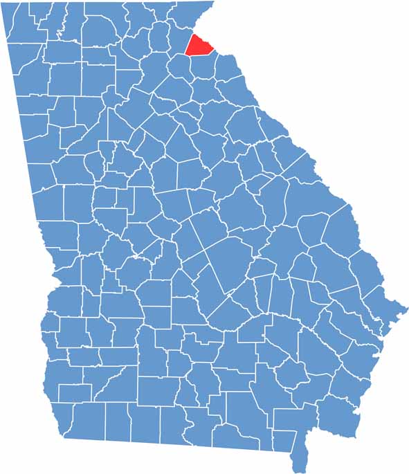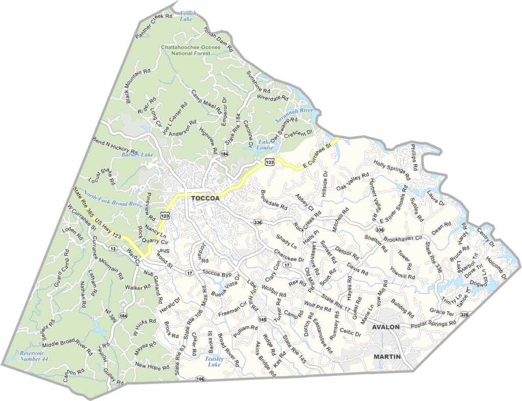
Stephens County is located in northeast Georgia and was established in 1905. The county was named in honor of Alexander H. Stephens, who served as the Vice President of the Confederate States of America and later as the Governor of Georgia. Today, Stephens County is known for its scenic landscapes, outdoor recreation, and rich history.
Toccoa, the county seat and largest city, takes its name from a Cherokee word meaning "beautiful." One of the county’s most famous landmarks is Toccoa Falls, a spectacular 186-foot waterfall located on the campus of Toccoa Falls College. The area also features lakes, rivers, and parks that provide excellent opportunities for fishing, boating, hiking, and other outdoor activities.
Home to approximately 27,000 residents, Stephens County offers a welcoming small-town atmosphere while remaining within convenient driving distance of larger cities such as Athens and Atlanta. With its natural beauty, historic attractions, and abundant recreational opportunities, Stephens County is an inviting destination for visitors seeking the best of northeast Georgia.