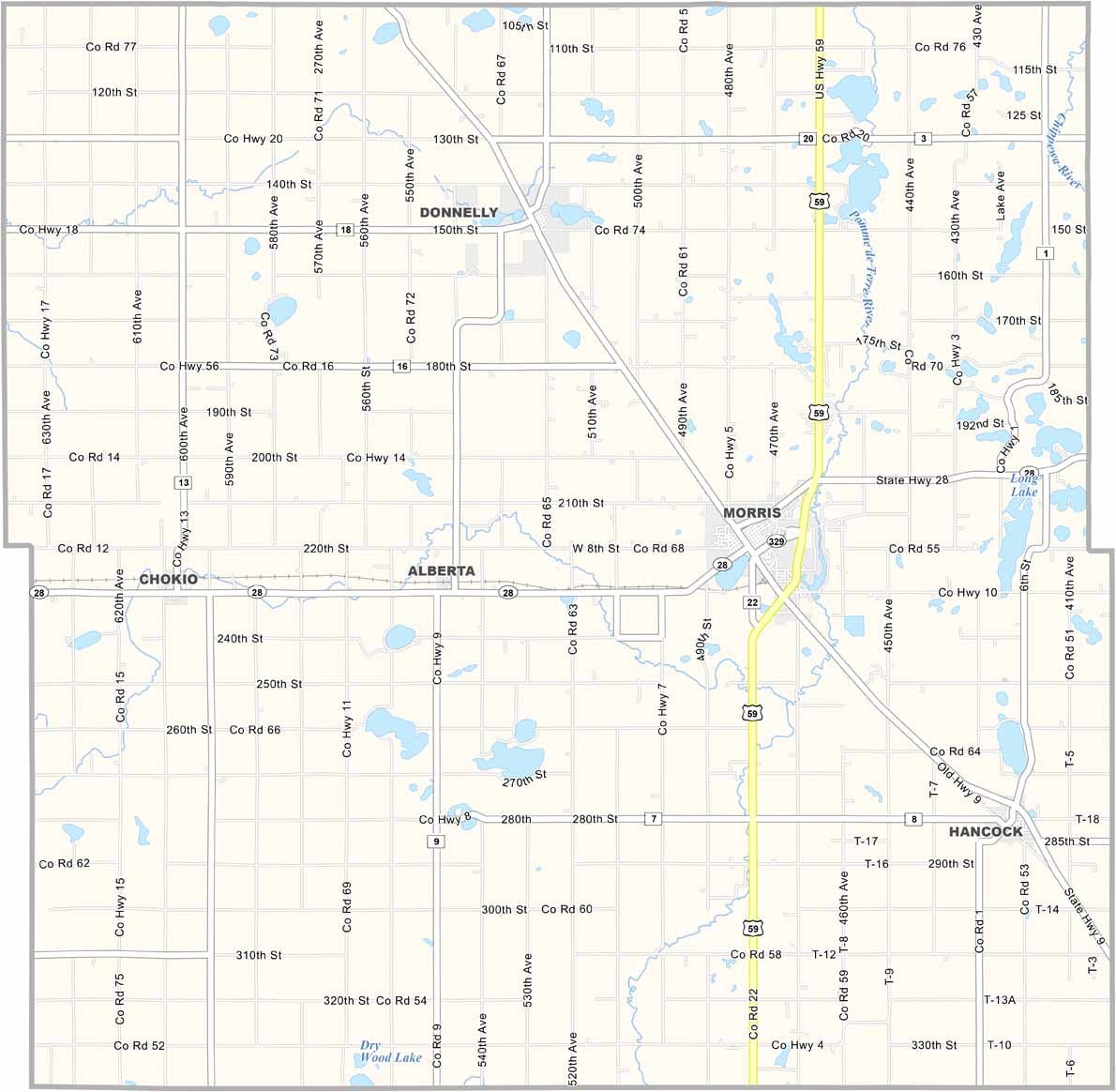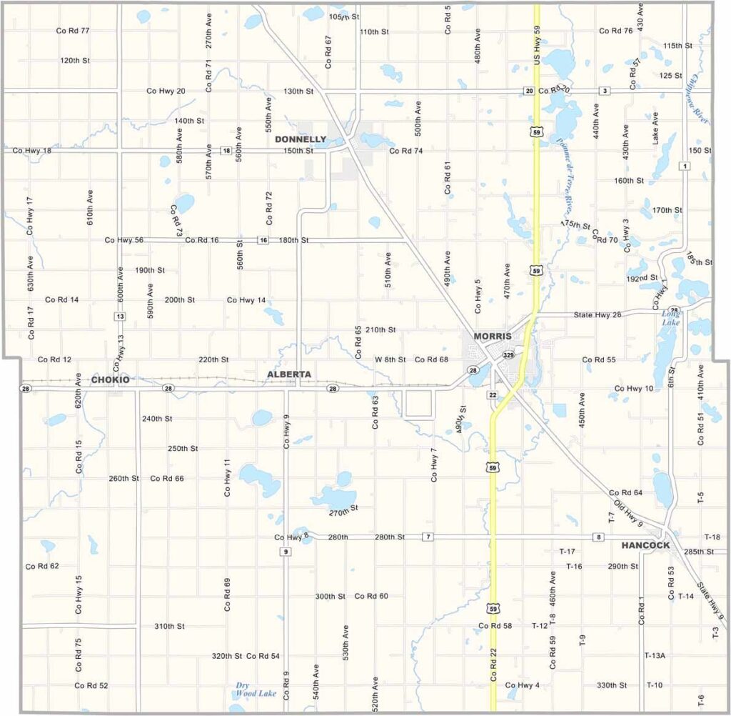
Stevens County Map, Minnesota

Stevens County, Minnesota

Stevens County sits in west-central Minnesota, about 150 miles northwest of Minneapolis. It's farm country, with fields of corn, soybeans, and wheat stretching to the horizon.

The county's biggest town, Morris, is home to the University of Minnesota Morris, a small liberal arts campus. Summer brings county fairs, baseball games, and lazy afternoons by Lake Crystal.

There's a strong sense of community here. People look out for each other, whether it's helping a neighbor bring in the harvest or cheering on the local high school football team.
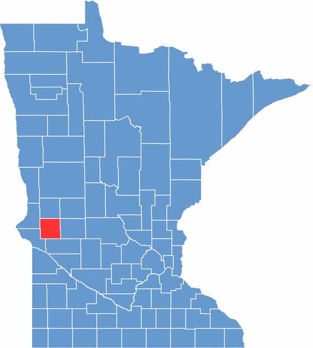

Stevens County location map of Minnesota
CategoryDetails
County NameStevens County
County SeatMorris
PopulationApproximately 9,400
Cities, Towns, and CommunitiesMorris, Hancock, Donnelly, Alberta, Chokio
Interstates and HighwaysUS 59, MN 9, MN 28
FIPS Code27-149
Total Area (Land and Water)575 square miles (Land: 564 sq mi, Water: 11 sq mi)
Adjacent Counties (and Direction)Grant County (North), Douglas County (Northeast), Pope County (East), Swift County (South), Big Stone County (Southwest), Traverse County (Northwest)
Time ZoneCentral Time Zone (CT)
StateMinnesota
Coordinates45.5876° N, 95.9384° W
EtymologyNamed after Isaac Ingalls Stevens, a notable U.S. Army officer and territorial governor of Washington
Major LandmarksStevens County Historical Society and Museum, Pomme de Terre Park, University of Minnesota Morris
Scroll to Top