
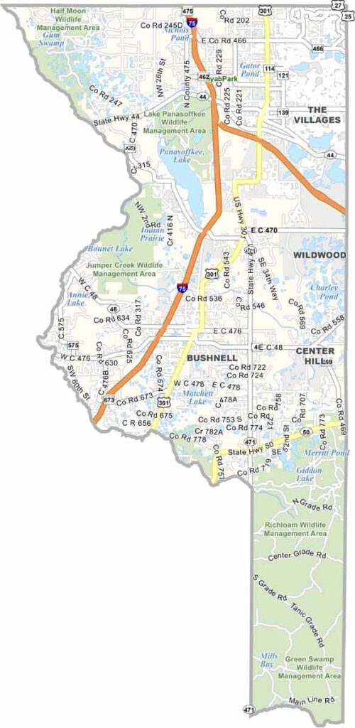
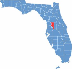
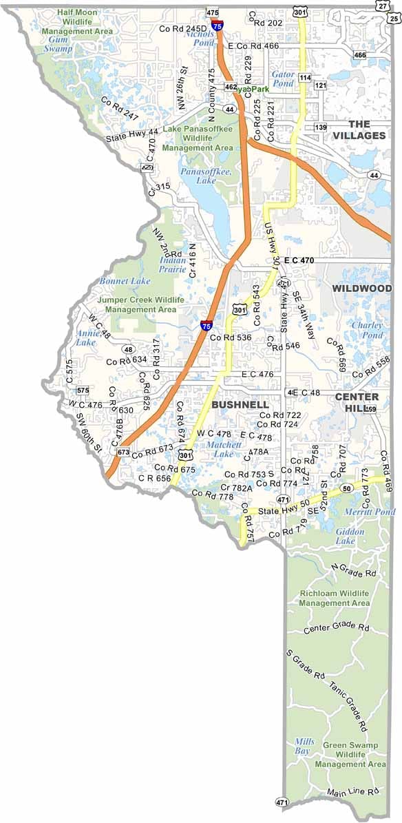
Sumter County offers a glimpse into Florida’s changing landscape. The Villages, one of the state’s largest retirement communities, covers a significant portion of the county, while Bushnell, the county seat, retains a more traditional small-town Florida atmosphere.
Lake Panasoffkee provides opportunities for fishing and boating, while the western part of the county features cattle ranches and horse farms. Dade Battlefield Historic State Park is another notable attraction, marking the site of the opening battle of the Second Seminole War.
Sumter County continues to grow, particularly around The Villages, where traffic can become heavy. Away from the retirement communities, much of the county remains peaceful and rural, with lakes, springs, farms, and open spaces. With its mix of modern retirement communities and traditional rural areas, Sumter County reflects the changing character of central Florida.
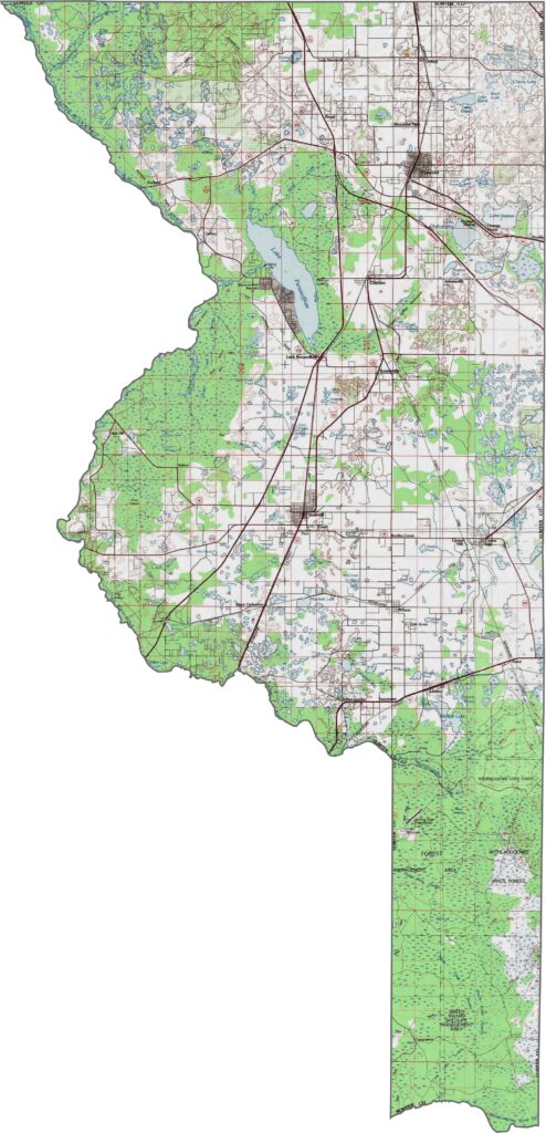
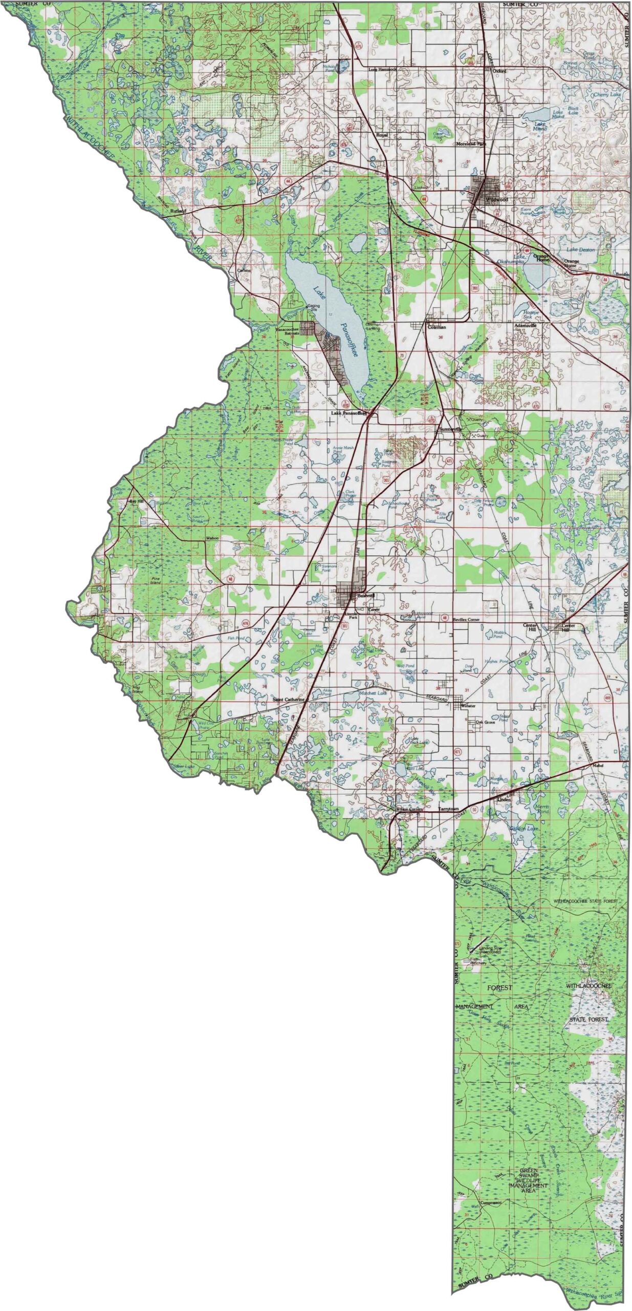
Our Sumter County topographic map highlights the contrast between the rapidly growing retirement communities of The Villages and the extensive wetlands of the Green Swamp in the south. Use our zoom tool to explore the changes between developed areas and natural landscapes.
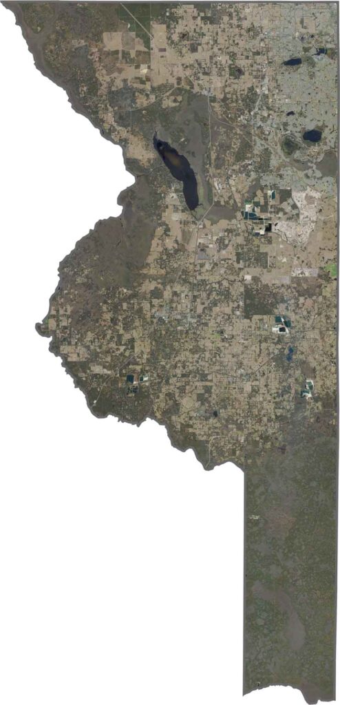
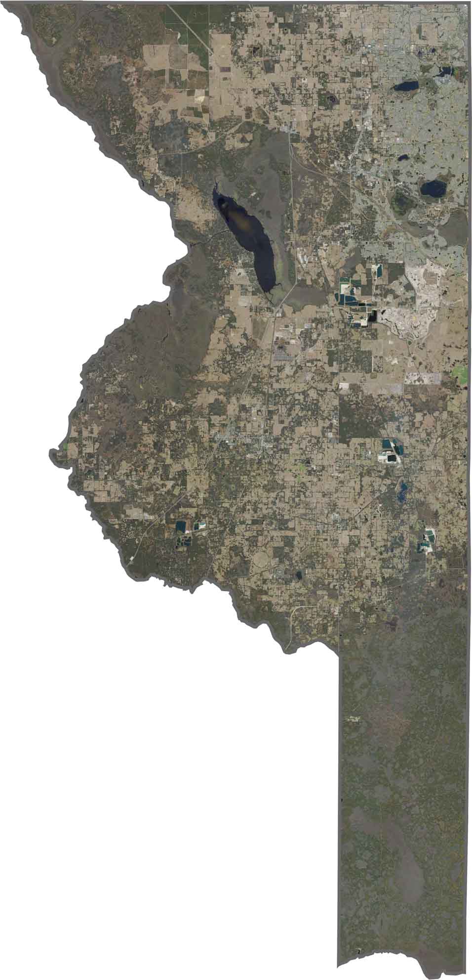
This satellite map shows a mix of forests, farmland, and expanding suburban areas across Sumter County. Lake Panasoffkee stands out as a dark blue feature near the center, while open fields, lakes, and wetlands are scattered throughout the county.
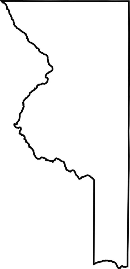
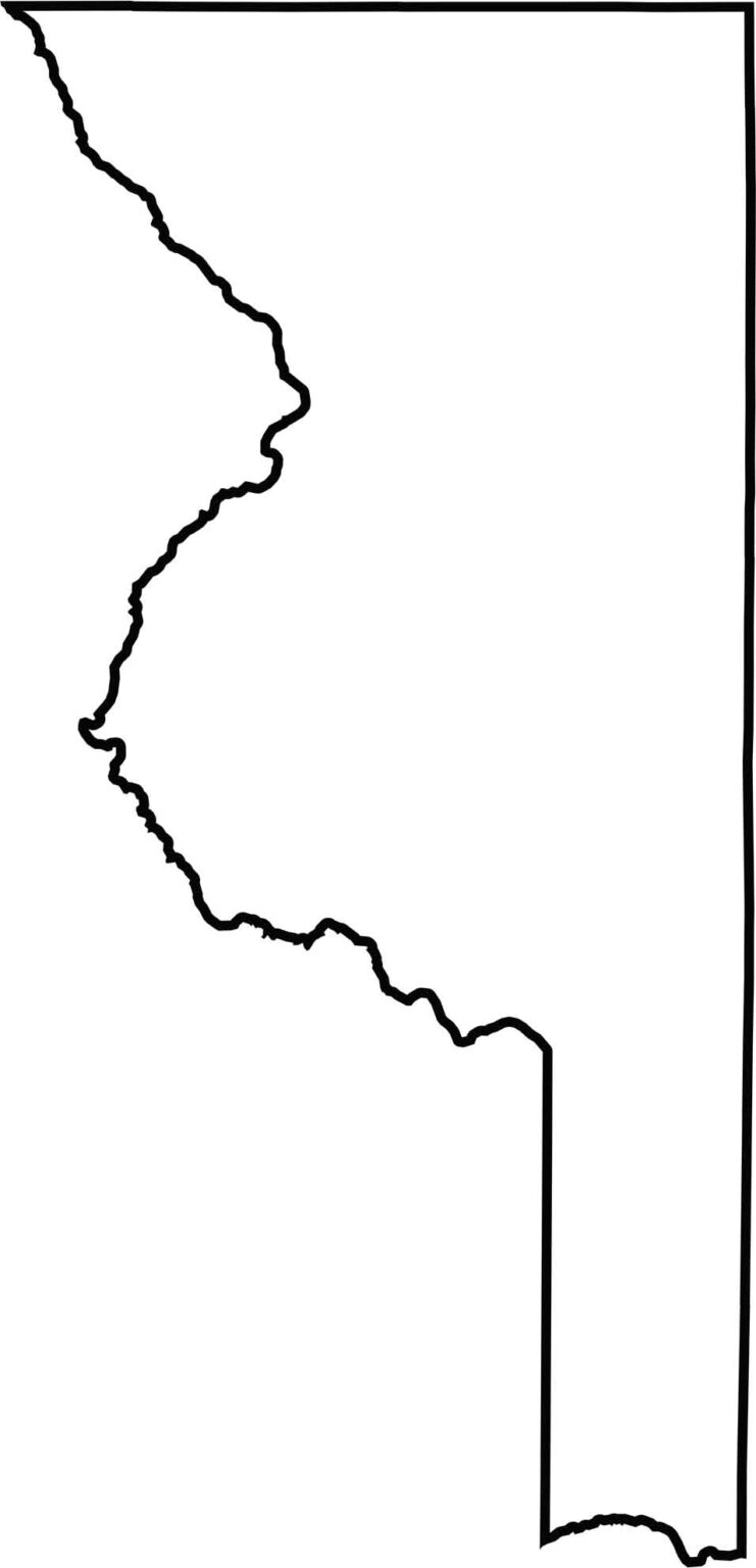
Our blank map of Sumter County shows its mostly rectangular shape, with a small extension in the northeast corner. The Withlacoochee River forms portions of the western boundary, and the county shares borders with six other Florida counties.







Looking to find a county map of Florida? Our Florida county map breaks down all 67 counties. Explore the Sunshine State with detailed topographic, satellite, and outline maps.